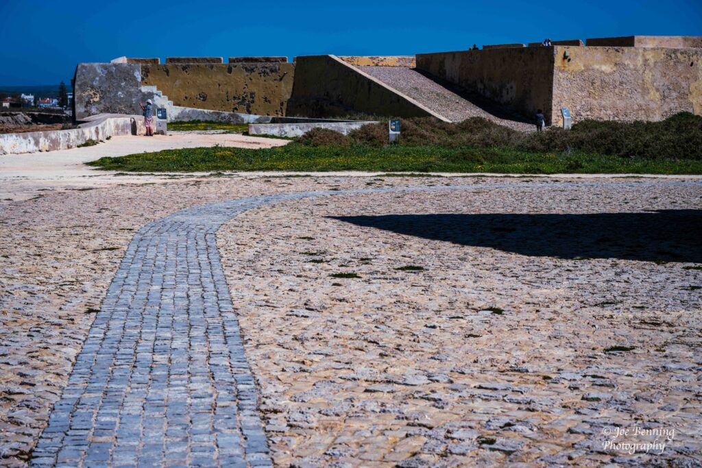
We said our farewells to North Africa and headed out to Portimão Portugal. That is about 336 kilometers (208 miles) away as the crow flies. The first significant place we visited was Fort São Vicente in Sagres, or Fortaleza do Cabo de São Vicente.
Fortaleza do Cabo de São Vicente
Fort São Vicente was built in the 16th century to protect a small coastal strip and an existing monastery. The fort was destroyed in 1587 by none other than Sir Francis Drake (described as either a privateer or a pirate depending on your point of view.)
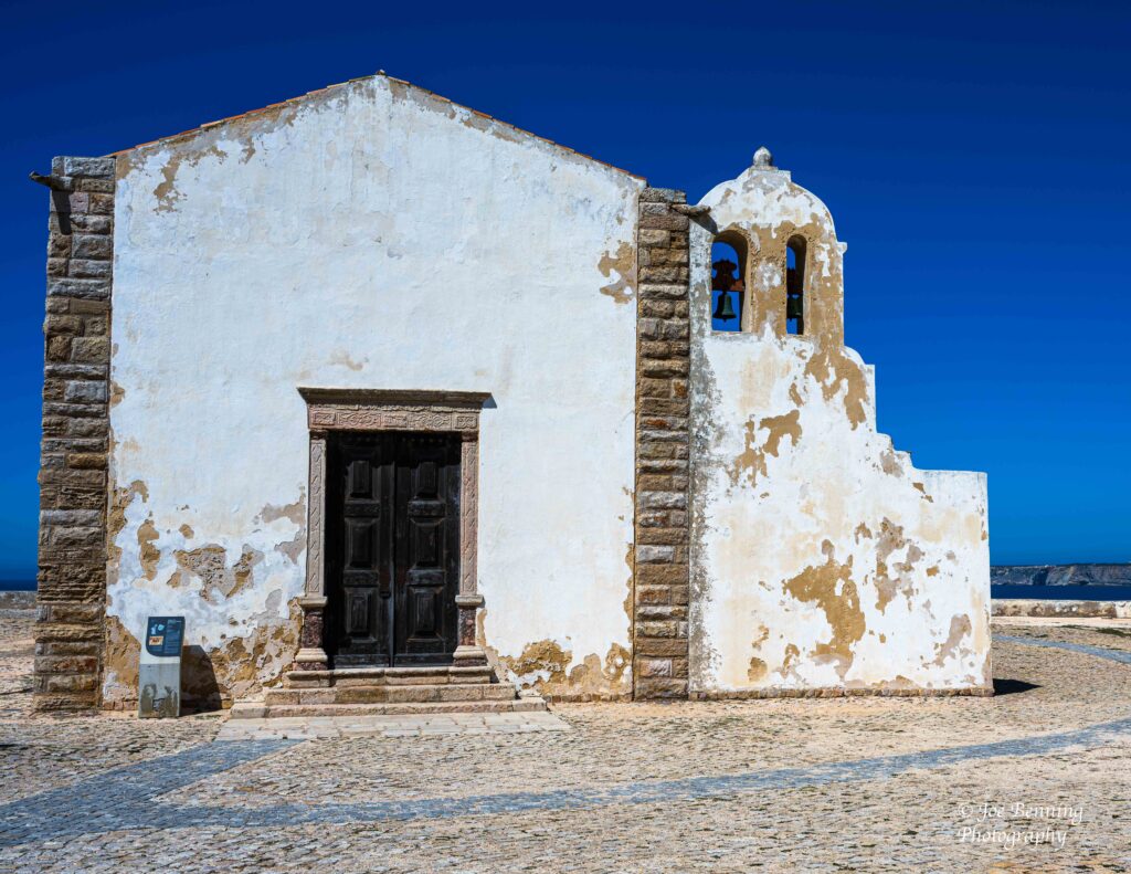
An Old Church in a Fortress
Anyway the site was rebuilt in 1608. A lighthouse was added in the mid 19th century and restoration work was ongoing in the mid 2000s.
The surrounding area is a big fishing area, but the cliffs are treacherous. Nevertheless fishermen come (and are clearly visible) fishing on the rocks.
Cliffs and Sea in the Algarve Region
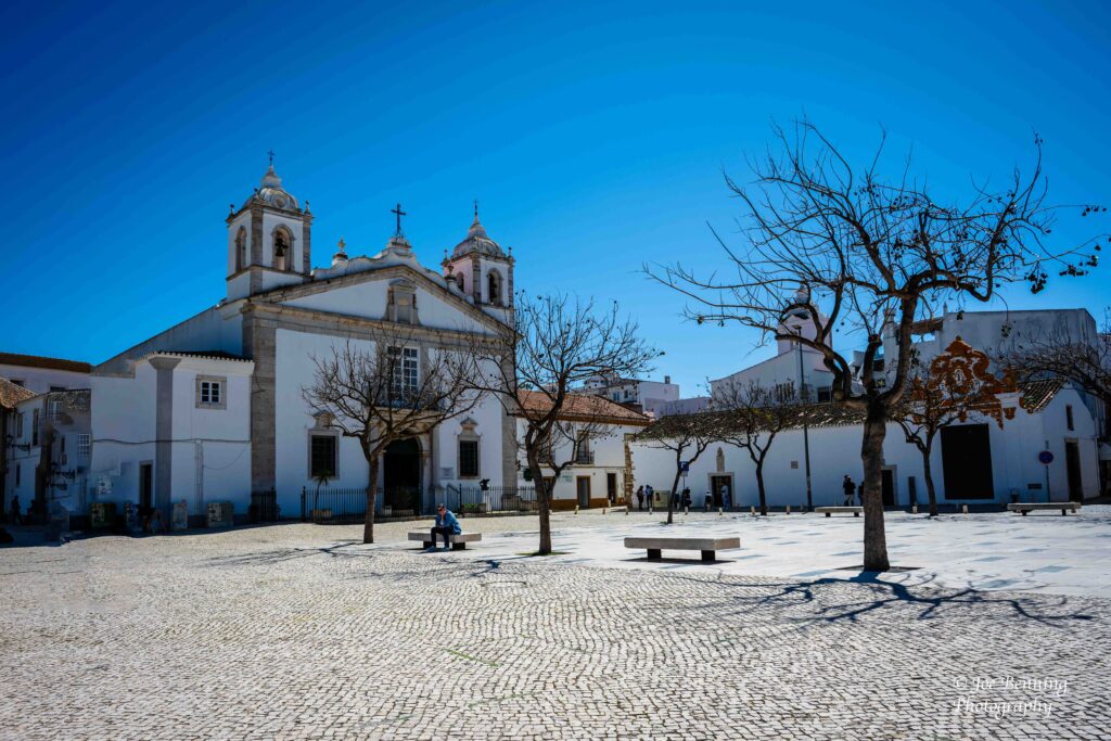
After exploring the grounds of the fort we headed out to Lagos. When we got there we visited the town square that housed the Church of St Maria Graca (Our Lady of Grace). The church, which dominated the area, which was completed in the early 15th century and gothic in style, was begun in 1380.
Church in Town Square Lagos, Portugal
After looking around the town square we explored the neighborhood which was highly commercialized. Then we headed out to the port where we started the day, but without buying anything. All things considered, it was a good introduction to Portugal.
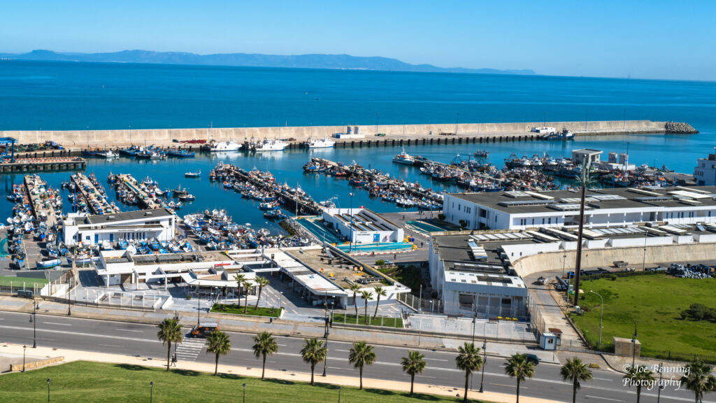
Tangier is located in the northwest of Morocco, on the coasts of both the Mediterranean Sea and the Atlantic ocean. Tangier has a population of about 1.25 million people. The city is located on a bay in the strait of Gibraltar, about 17 miles from Spain.
A Port in Tangier; Spain is visible in the distance
It has always been a strong supporter of the United States. It was the first nation to recognize the independence of the US. They did so implicitly in 1777 and by treaty in 1786.
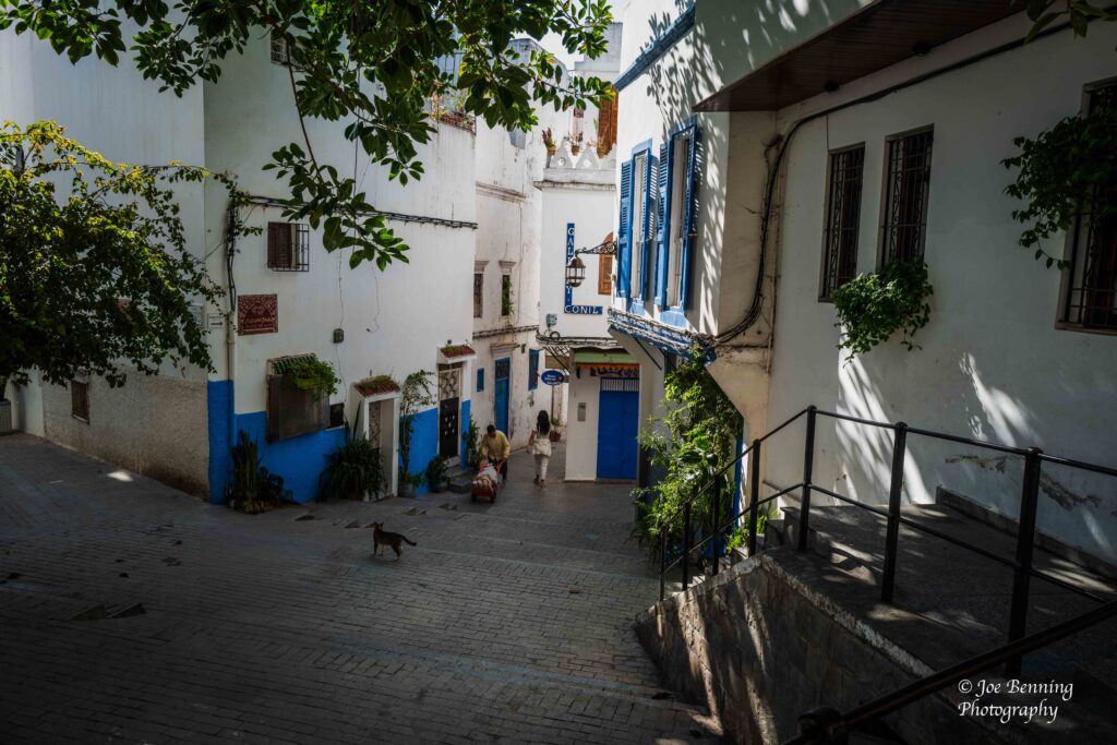
When we visited Tangier we went on a walking tour of the city. Unlike Casablanca though, Tangier is extremely hilly. So we walked up and down the hills. Got a good night’s sleep afterwards.
Side Street in Tangier
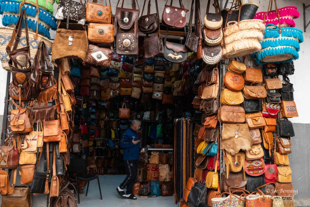
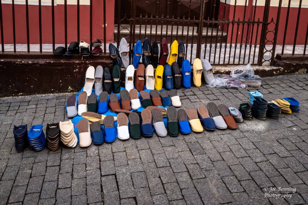
The tour included a visit to a souk, where the local people do their shopping. Not surprisingly, there is a wide variety of things for sale ranging from pocketbooks to shoes to carpets and fruits and vegetables.
Pocketbooks for Sale in SoukShoes for Sale by a Street Vendor in Tangier
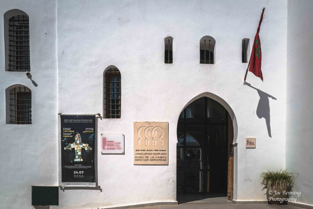
After visiting the souk we had lunch in the (first rate) Grand Hotel Villa de France and passed by Tangier’s contemporary Art Museum. All in all we walked all over around the city and found it to be charming, open and tolerant. A good place to visit.
Grand Hotel in TangierMuseum of Contemporary Art–Tangier
We finished sailing through the Canaries and, after a sea day, we docked in Morocco. While in Morocco we visited Casablanca, and then a day later we made our way to Tangiers. And yes, this was the same Casablanca from the the movie starring Humphrey Bogart and Ingrid Bergman. The one where “Play it again, Sam” referencing As Time Goes Bye was made famous.
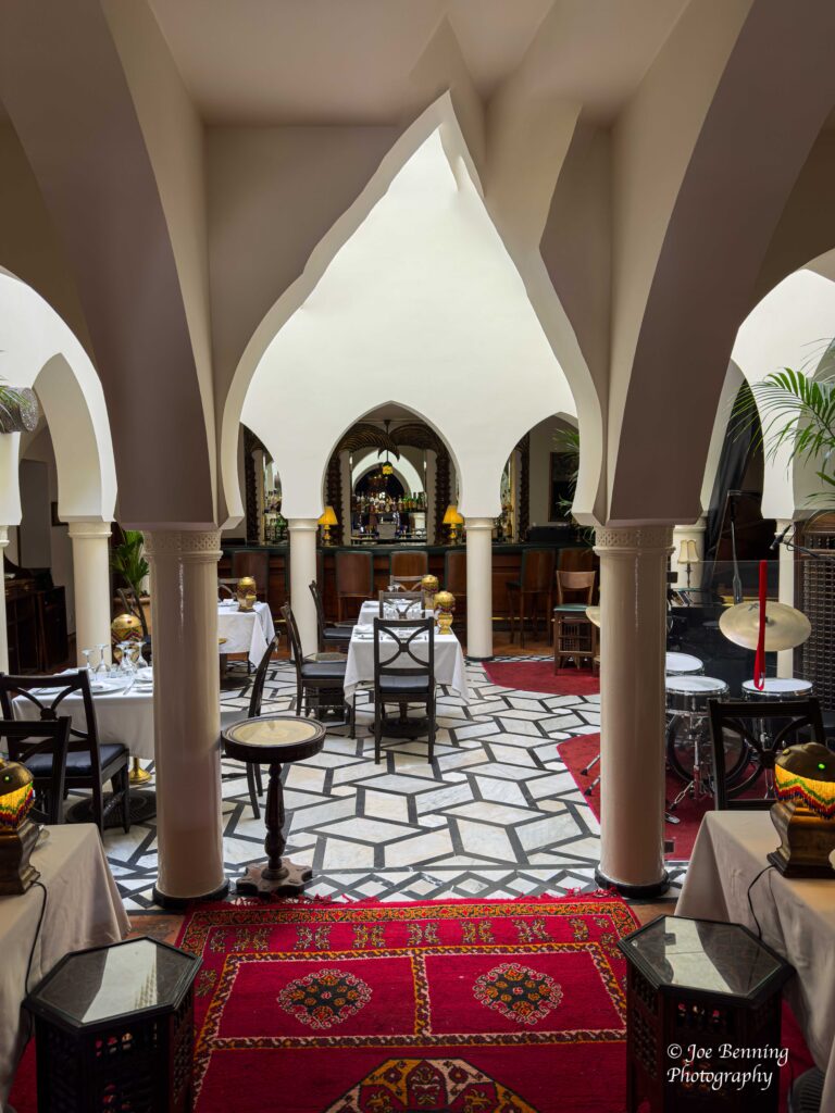
Of course we had lunch in Rick’s Cafe.
Inside Ricks Cafe in Casablanca
Except there was a little fly in the ointment: the movie was filmed entirely in Hollywood; the story actually took place in Tangiers and Rick’s Cafe was not the real one. But pretending is fun too. That’s what movies are all about anyway.
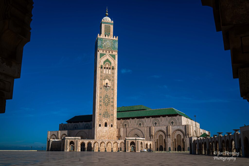
We didn’t spend the whole time in Casablanca retracing the steps of Humphrey Bogart—we actually did some sightseeing. One of the chief attractions was the Hassan II Mosque.
Photo of the Hassan II Mosque
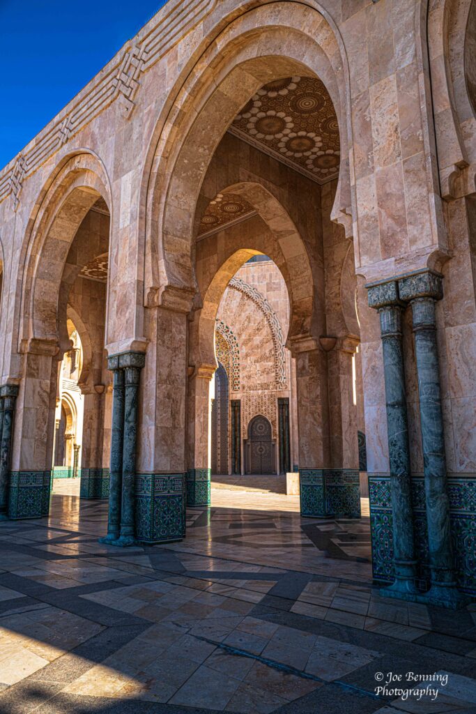
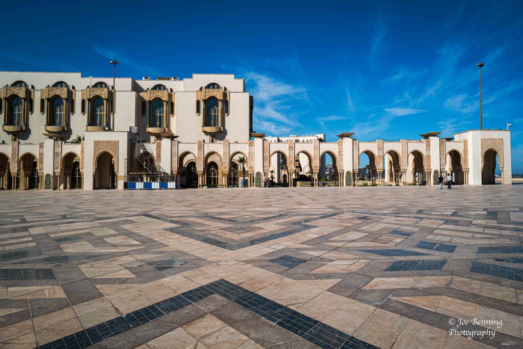
It’s a huge place and an architectural masterpiece. In addition to the mosque itself, there were several buildings on the grounds. So we took a look around before going into the mosque itself.
Corridors in Hassan II MosqueGrounds of the Hassan II Mosque
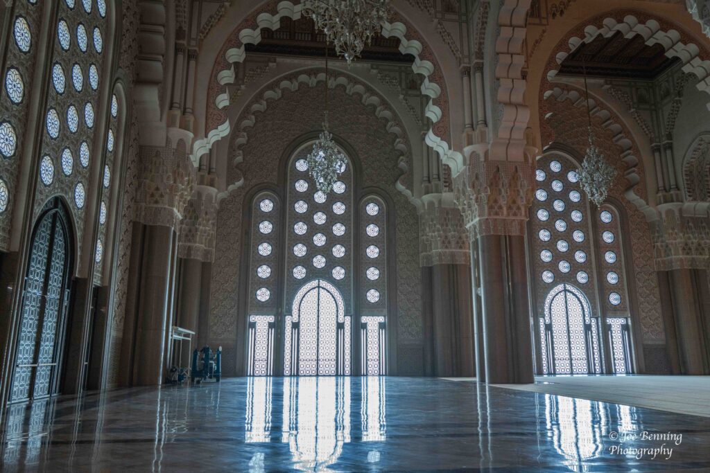
We were allowed inside the mosque without any problem. Services were not in progress where the men and women are separated, so we just had to remove our shoes to walk around inside the mosque proper. Once inside the mosque, the grandeur and scale of it are truly impressive. It’s the kind of thing that has to be seen.
Inside the Hassan II Mosque
So next time you are in Casablanca, it’s worth a look.
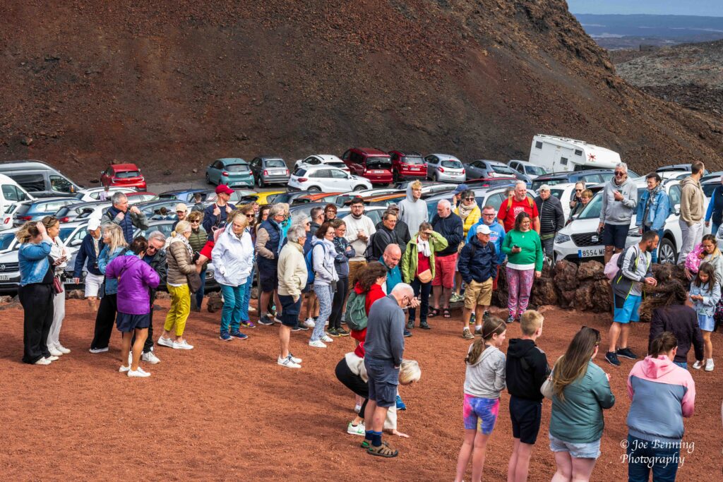
Not so fast on Morocco—I forgot that we stopped off at Arrecife first before heading over to Casablanca. The first destination on Arrecife was Lanzarote at the Timanfaya National Park. And was it ever crowded. Both locals and foreign tourists converged on the place.
National Park of Timanfaya in Arrecife
It’s easy to see why the park gets so crowded—there is a lot to see. And the crowd didn’t tail off as the day progressed. It got bigger.
Crowds at Timanfaya Park
The landscape in the park is moon like. It was formed by volcanic eruptions, some of them as recent as the late 18th and mid 19th centuries. So, as a result the landscape looks a little like the surface of the moon. After looking at the landscape, we had coffee and snacks at a café in the park.
Lava Field in ArrecifeCars Line Up in National Park of Timanfaya
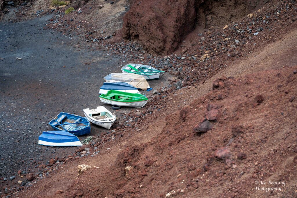
Then we headed off to El Golfo where we went up to a lookout point toward the top of a large hill. El Golfo is a small fishing village on the Western coast of Lazarote. It is best known for its dramatic volcanic landscape near Charco de los Clicos, which is an equally dramatic green lagoon. Not surprisingly it is also a popular spot with tourists and photographers.
Boats at the bottom of a Hill in El Golfo
After El Golfo we went to a wine tasting as well as a … salt tasting. The reason for the salt tasting? There are historic slat flats near El Golfo that used to supply a large amount of salt to the market. And so we tasted salt. Or had the opportunity to. In the end, we declined the offer although many of fellow tourists tried it out.
Salt Flats of Lanzarote
Anyway, it was a pretty interesting tour to go on. After leaving Arrecife we headed out to Morocco where we went to Casablanca and Tangiers.
So, when we hit Casablanca: “Here’s looking at you, kid”.
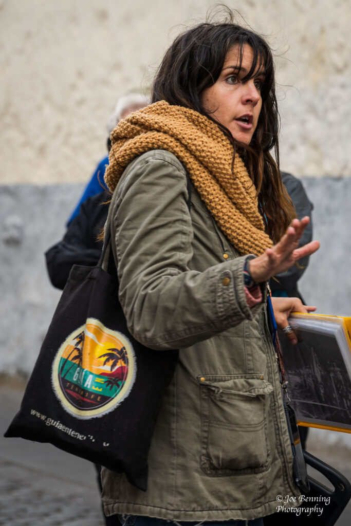
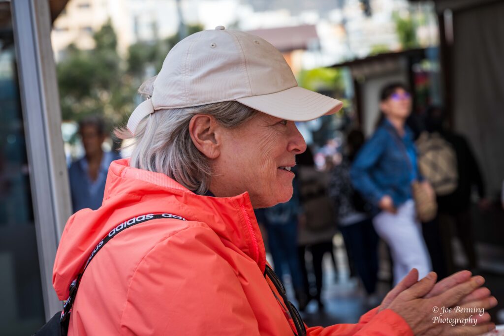
We spent a second say touring around Tenerife with a terrific guide. Not only was she an excellent English speaker, she was a great problem solver and had a wonderful sense of humor.
Santa Cruz / Tenerife Guide
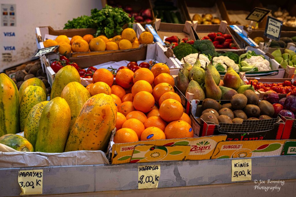
We visited a pretty crowded farmer’s market where there were plenty of fruits and vegetables for sale. This was a market where the locals shopped and was mostly located indoors.
A Farmers Market in Tenerife
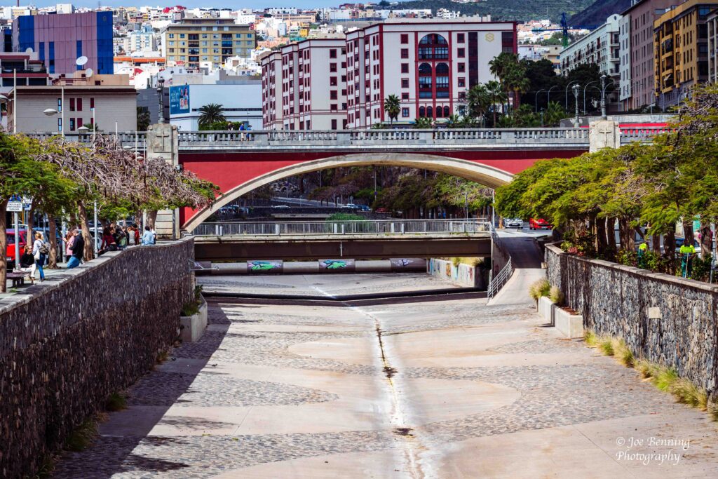
We also got a good look at some of Tenerife’s architecture, including some engineering feats like the bridge pictured below.
Bridges in Tenerife
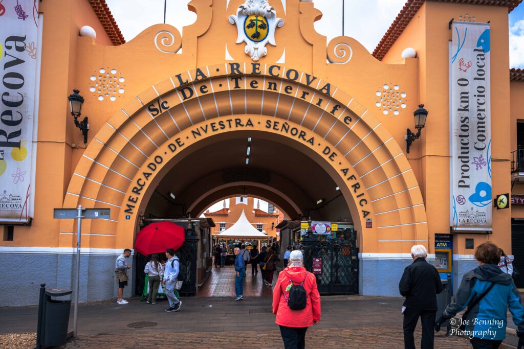
Finally we went to an outdoor market where all kinds of merchandise was on sale and on display. We bought some products made by local artisans and then headed back to the ship.
Outdoor Market in TenerifeMary Anne Shopping in Tenerife
Next stop, Morocco, on the North coast of the Mediterranean in Africa.
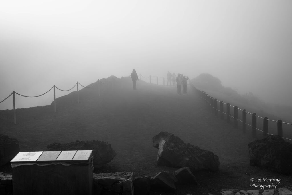
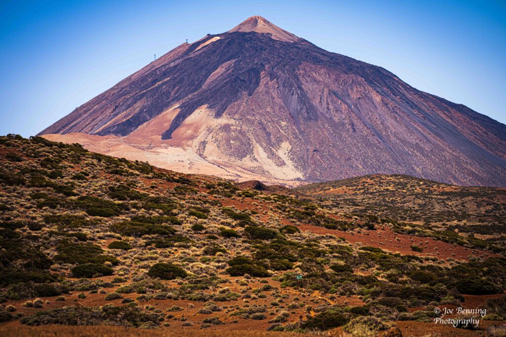
When we docked in Tenerife the plan was to go to see Mount Teide in the national park. But when we first got there the fog was so thick that it was virtually impossible to see anything.
Foggy Weather in Teide National Park
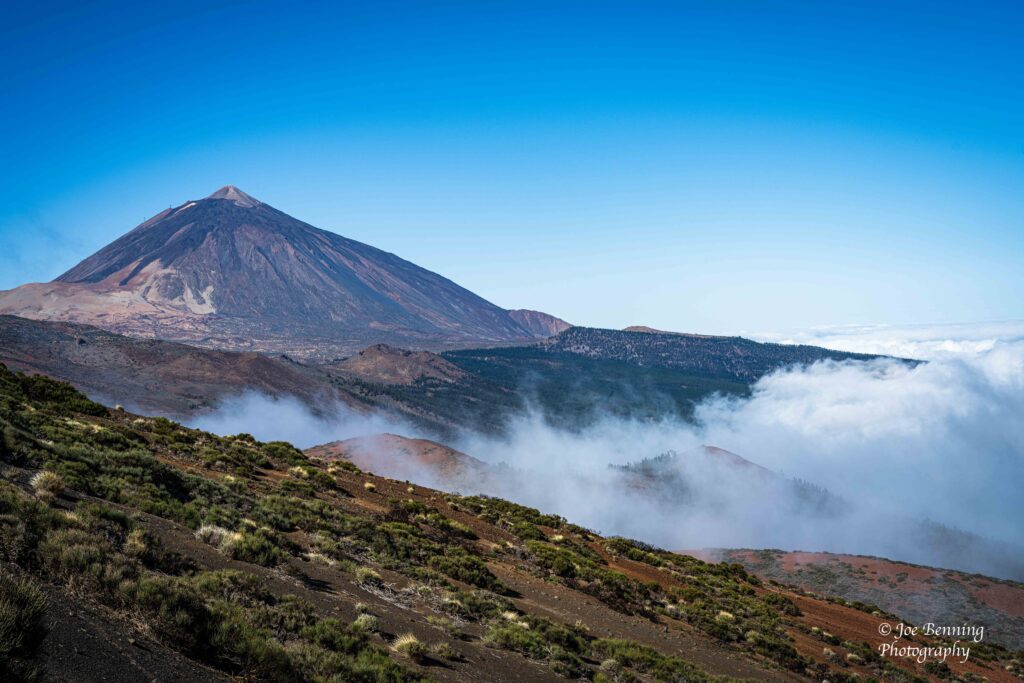
However the fog eventually burned off and we were treated to some spectacular scenery in Teide National Park.
Fog Burning Off on Mount Teide
Not surprisingly, the park is centered around Mount Teide, the highest mountain in Spain. Standing at 3, 718 meters tall it is the third highest volcano in the world, measured from its base on the floor of the Atlantic Ocean.
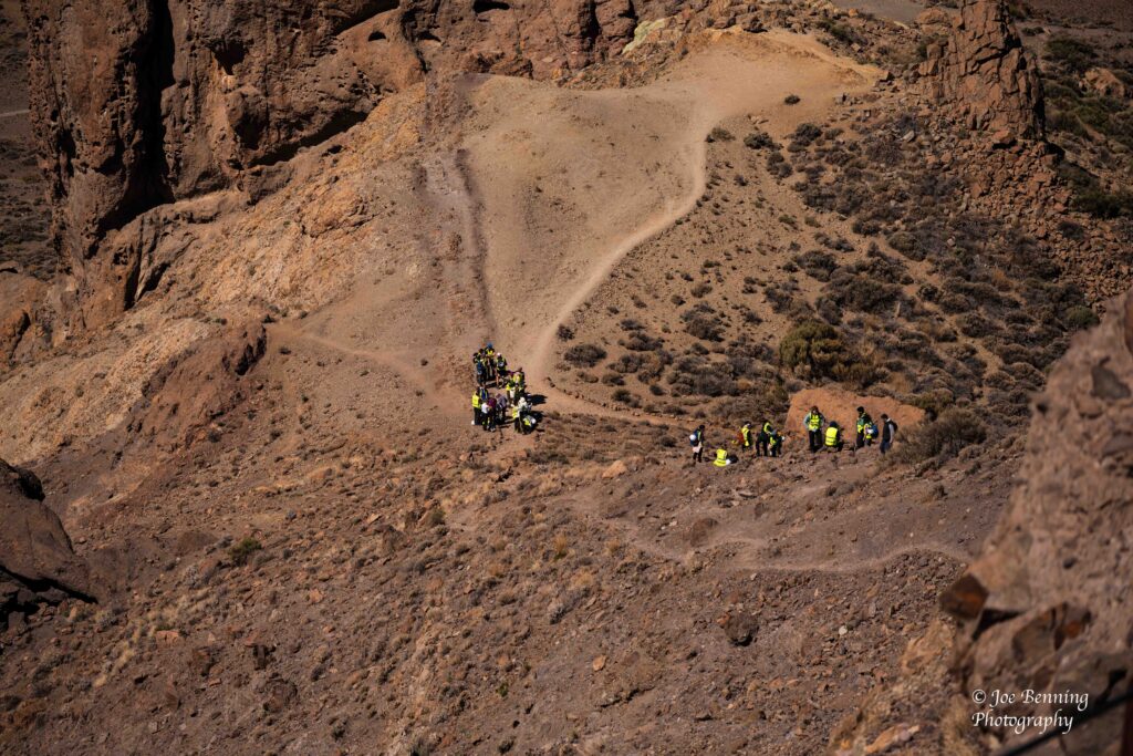
The landscape of the park, which resembles a moonscape is kind of eerie looking. Actually our tour guide told us that NASA used the park as an astronaut training site for, among other things, learning to drive the rover on the surface of the moon. In addition, scientists from a Spanish university are doing some geological experiments in the park. Not too surprising since the Canaries were formed by volcanic eruptions millions of years ago.
Scientists Woring in a Volcanic Crater
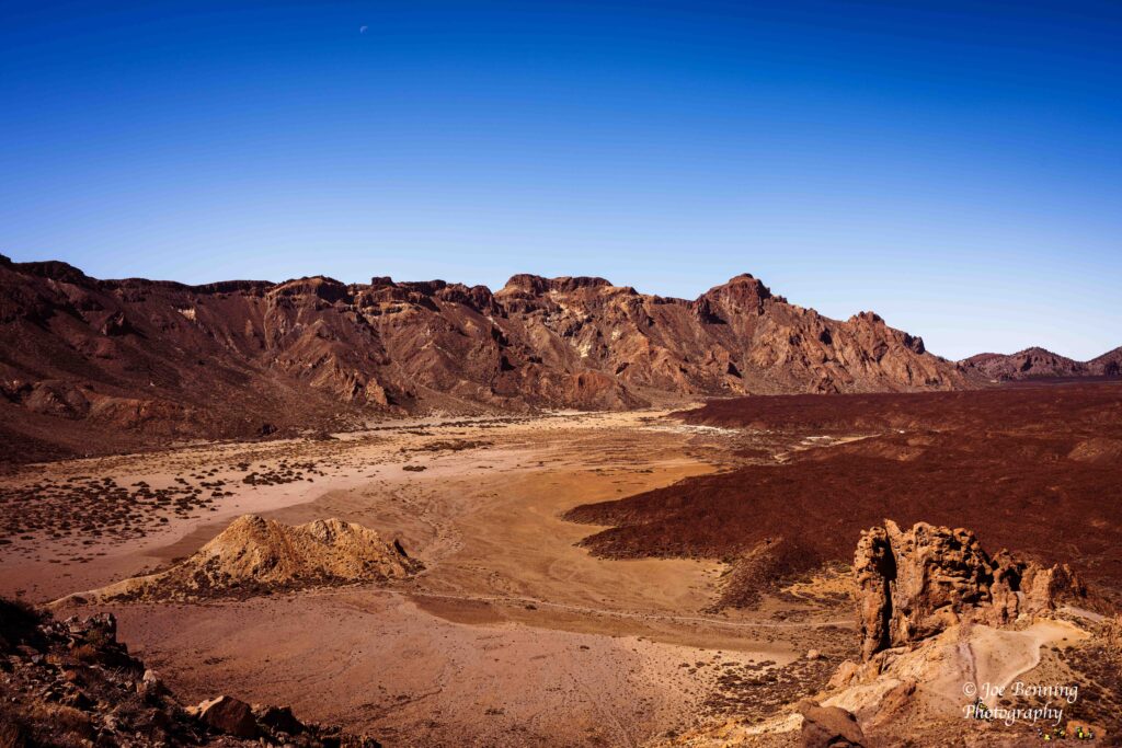
The terrain of the park is rugged, spectacular and full of visitors. In fact, it is the most visited national park in Spain with over 4 million visitors in 2022. It was named as a World Heritage Site by UNESCO in June of 2007.
A Volcanic Crater on Tenerife
All in all definitely worth a look next time you are in the Canaries.
Volcanic Mountain and Crater in Teide National Park
On March 22 we docked in Europe by way of Gran Canaria, one of the Canary Islands. The Canary Islands are part of Spain even though they are only a few hundred miles from the coast of West Africa. And it shows. The towns are clean and elegant and they definitely have a European vibe.
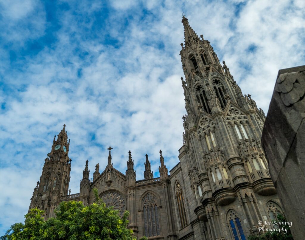
We went on a tour that brought us to the towns of Arucas and Teror. One of the first things we saw upon arriving in Arucas was the Church of St Jean the Baptiste (San Juan Bautista). Begun in 1909 it opened for worship in 1917 and was finally completed in 1977.
Church of St John the Baptiste in Arucas, Gran Canaria
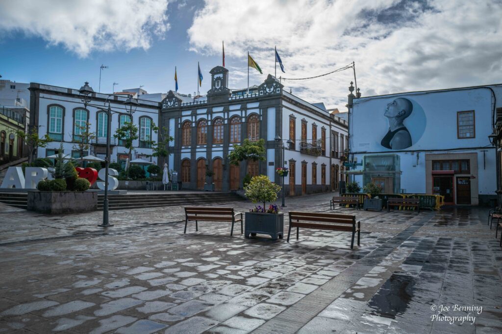
After that, we bumped into a town square in the Old Section with its beautiful traditional European architecture.
Arucas, Gran Canaria — March 22,2025. Town Square in Arucas
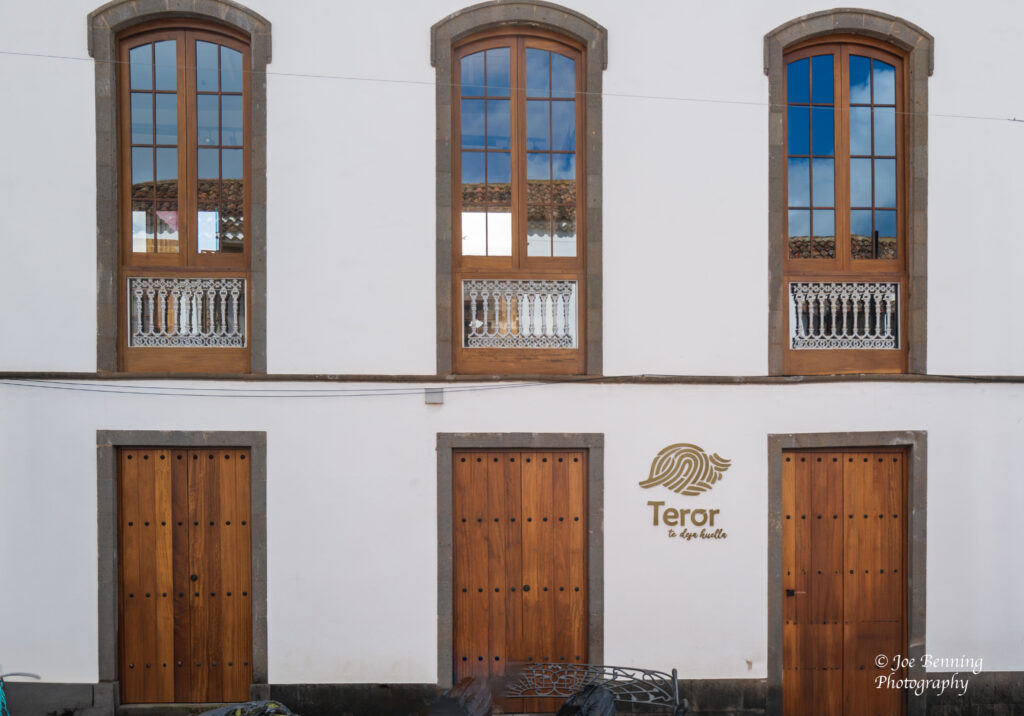
The next town we visited was Teror.
Doors & Windows in Teror, Gran Canarie
Among other things, the town looks like it was almost designed for tourism. Not for tourists dragging a crew of 8 year-olds around mind you, but for tourists who really want to see some old world elegance.
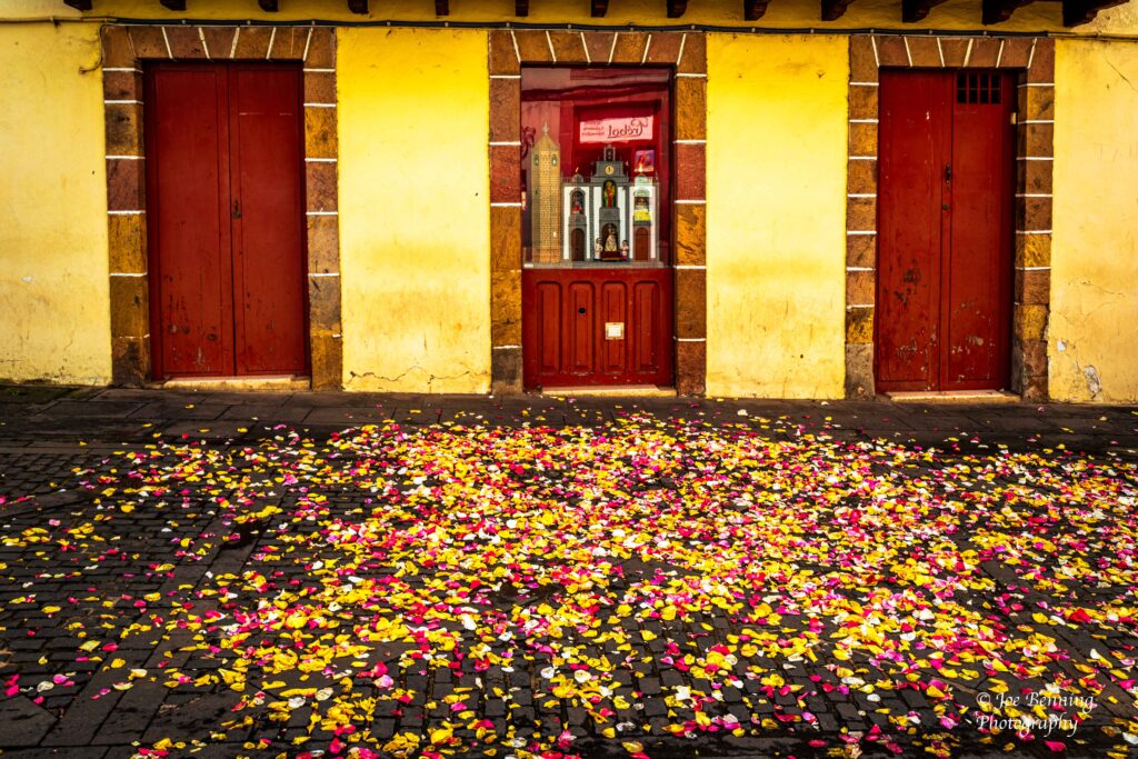
As if they wished to emphasize the point, a few of the shops had flower petals strewn about on the street in front of them.
Shop Doors and Flower Petals
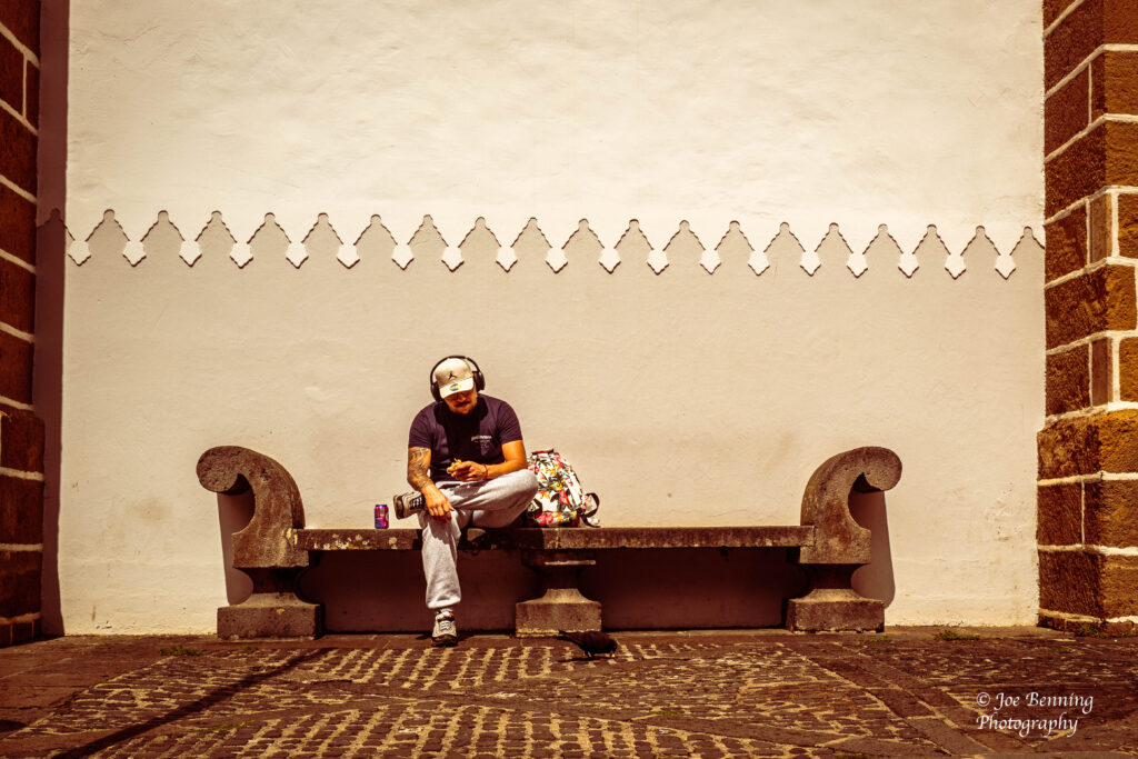
A bit of the modern world invaded though as the photo below shows a young man wearing headphones while he sits on a bench in town.
A man wearing headphones sits on a bench in the Canary Islands
That said, it was good to be back in Europe and Gran Canaria in the Canary Islands certainly fit the bill.
Officially Cape Verde, off the coast of West Africa, is named the Republic of Cabo Verde. But everyone calls it Cape Verde. It is a small country; an archipelago with a population of about 500,000. First colonized by Portugal, it won its independence in July of 1975.
All did not go well at first. After securing independence from Portugal, Cape Verde became a one-party state, dominated by Marxists. However in 1990 the one-party state was abolished and a multiparty democracy took its place. Since then, Cape Verde has had a stable functioning democracy and its economy has improved markedly.
There is a large diaspora of Cape Verde natives, many of whom live in the US and Portugal. Both the US and Portugal maintain strong ties to Cape Verde. The people who moved to the US did so way back when to work in the whaling industry. They had developed the necessary skills to succeed in that industry. And Portugal has welcomed Cape Verde natives.
Interestingly enough, even though it is a West African nation and a member of the African Union, the people of Cape Verde (if our guides are to be believed) consider themselves to be more like Europeans that Africans. They may have a point. The islands of Cape Verde seemed to be a lot more developed and much cleaner than the countries of the mainland.
We visited 2 cities on 2 different islands in Cape Verde: Praia, on the island of Santiago, and Mindelo on the island of São Vincente. Praia, with its beaches is the largest city and capital of Cape Verde. Mindelo is a cultural hub, known for its architecture and traditional music.
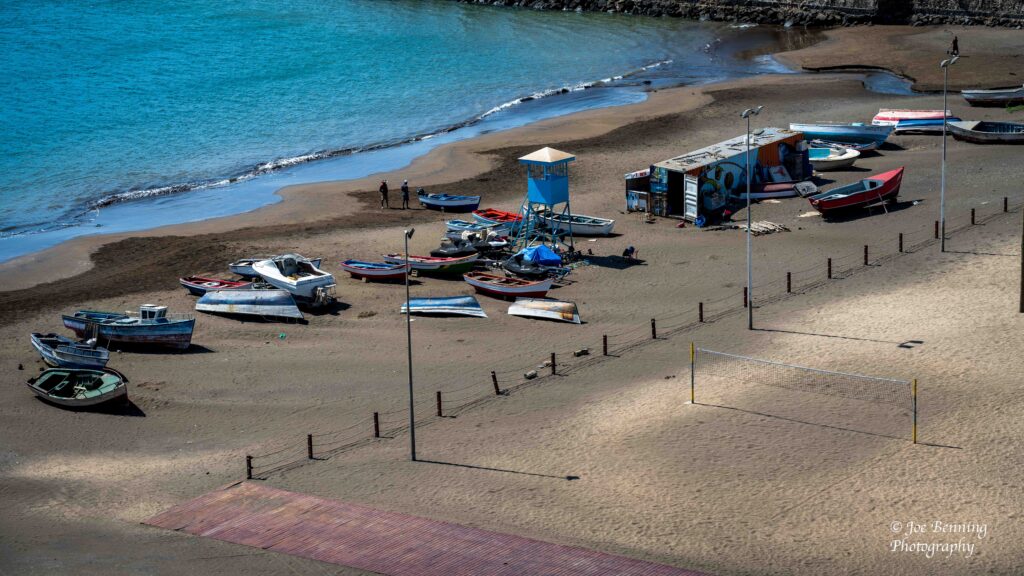
Photo of a beach in Cape Verde
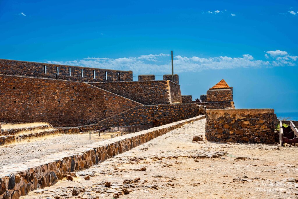
On our visit to Praia we went to a UNESCO World Heritage Site, the fort of St Phillip (Forte Real de São Filipe). The fort was originally built in order to thwart pirate attacks.
The fort was built as defence agianst pirate attacks
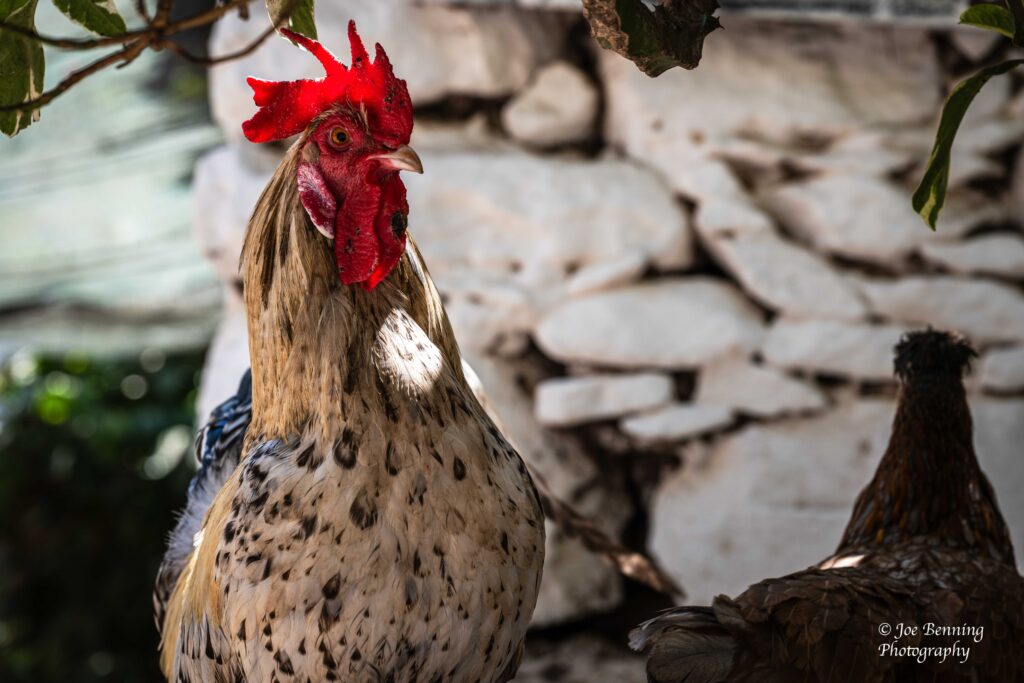
We also got to see a rooster up close and personal and we peered down at one of the cities beaches.
A rooster looks like he is posing
When we went to Mindelo, we drove up to the summit of one of their mountains, where it was extremely windy and chilly. The guides kept insisting that we shouldn’t stand too close to the edge of the road because of the high winds. A little less than comforting.
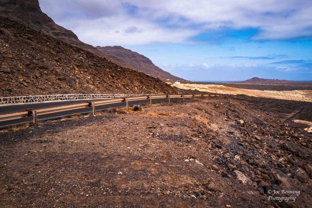
Not to mention that the roads were nothing to write home about.
Coming off the mountain in Sáo Vincente
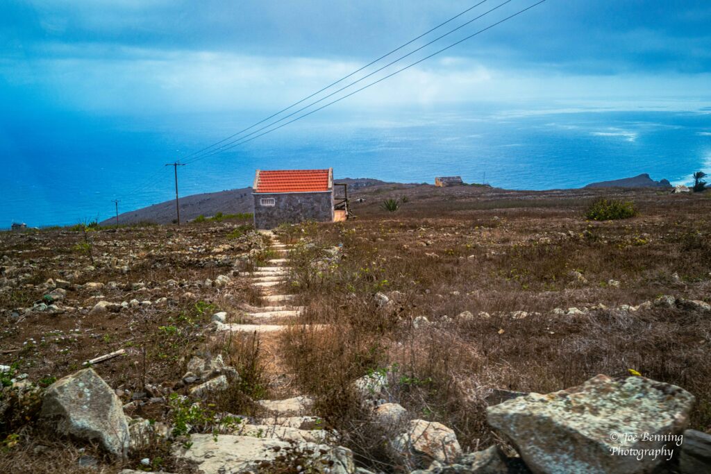
As we drove along, hoping the bus didn’t get too close to the edge and go over, we saw some isolated houses built alongside the mountains.
House on a Hill in Mindelo
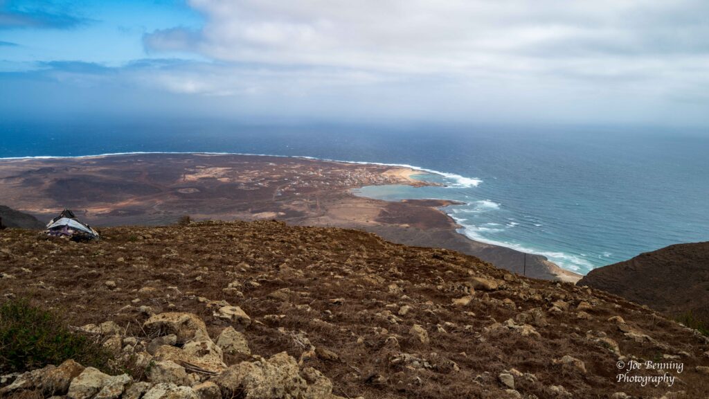
All it takes is looking at those (few) houses and the coastline below to realize how far away you are.
Looking down from a Mountain in Sáo Vincente
Anyway, we are off for the Canaries (Europe!) and will report in soon.
We have been on the Atlantic Ocean for the last few days slowly making our way to Europe via Cape Verde and the Canary Islands. The Canaries are off the coast of Africa and while they are not on the European mainland, administratively and politically they are part of Spain, and therefore Europe.
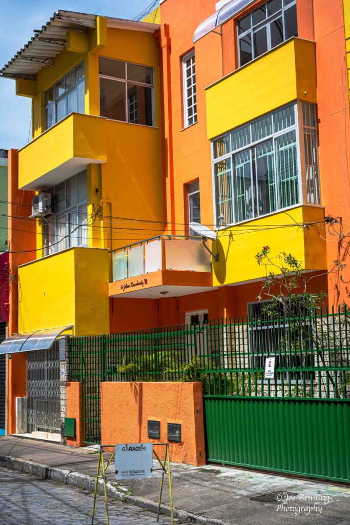
Now, after going to Carnaval we made several more stops in Brazil. Specifically, we visited the islands of Ilhéus, Salvador and Recife. As we were leaving the “new world” for the old, our first stop was in Ilhéus, which means “beautiful island”. And it certainly is beautiful. For instance, there were scores of colorful houses.
Colorful Houses in Ilhéus
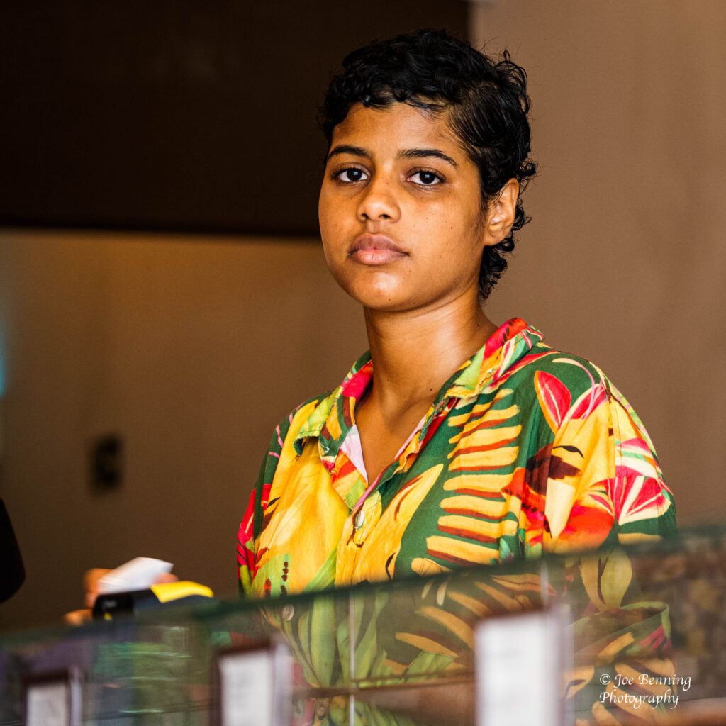
A chocolate store named “dengo” snared us; we bought some chocolate bars and other goodies. A photo of a sales lady from the store is below.
Portriat of a Woman in Ilhéus
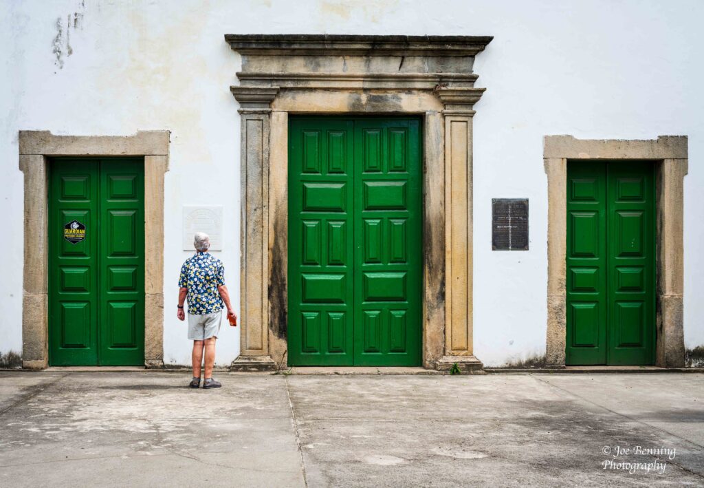
Another building featuring large green wooden doors of varying heights also caught our attention.
Green Doors in Ilhéus
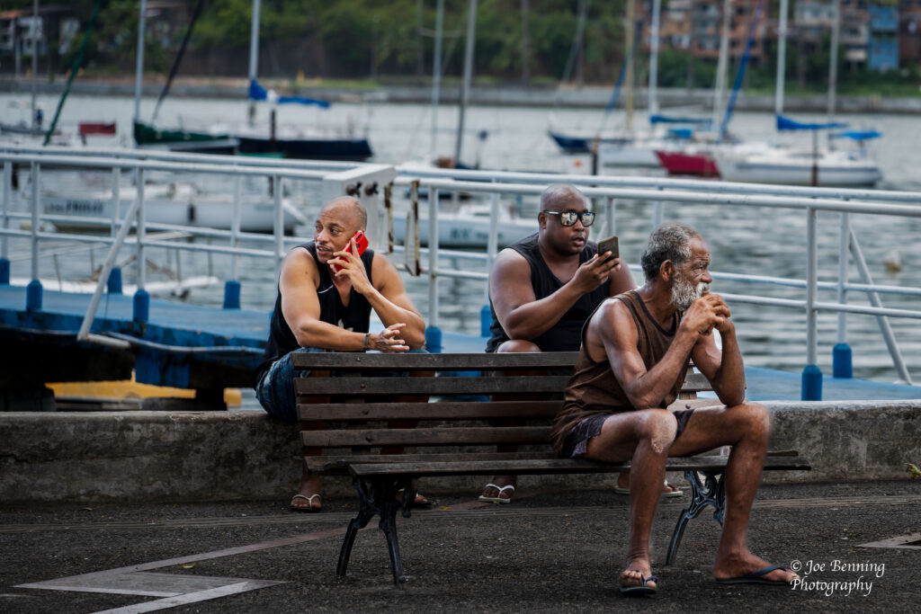
The next stop a day or two later, was Salvador. Not to be confused with El Salvador. Among other things, we stopped off at an ice cream store. The store was across the street from a bay full of boats where some of the locals were hanging out. Note the cell phones.
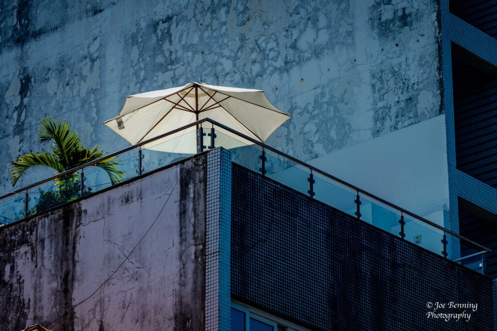
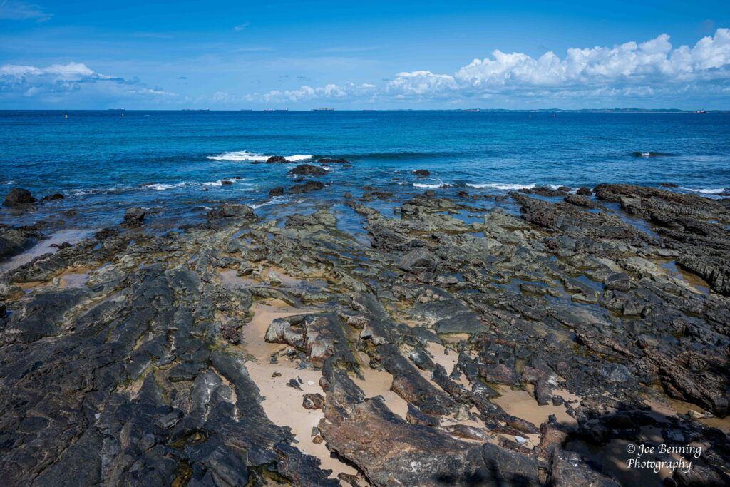
Three Men on the Dock of the BayUmbrella on a Rooftop in SalvadorRocky Beach in Salvador, Bahia
Finally we went to an island named Recife. When we got there they were busy dismantling a stage that they had erected for a celebration of –wait for it–Carnaval.
Preparing a Stage
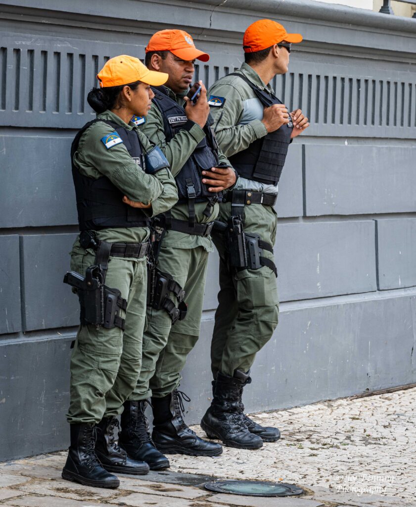
After we saw that we headed off for a tour of the Jewish section of town and a tour of a synagogue. It must be a major tourist area because it was loaded with visitors and buses that had “Tourismo” written all over them. There were also quite a number of Military Police as it turns out.
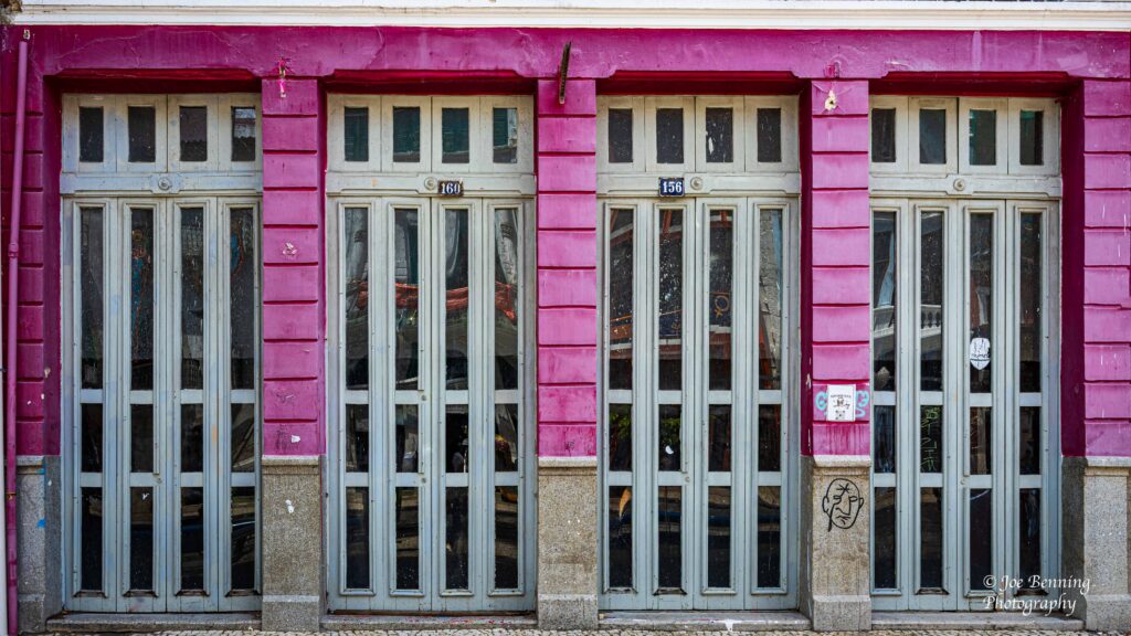
Wall in RecifeThree Soldiers in Recife
Anyway we have finished up with South America and now we are on our way to the coast of North Africa and then on to Europe. We’ll post from there soon.
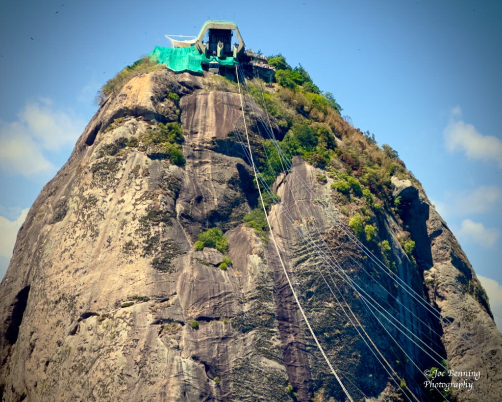
We are about to leave Rio de Janeiro—the home of Carnaval. Before we went to the Carnaval festivities though…we visited both Sugar Loaf mountain and Corcovado mountain. We got to Sugar Loaf by means of a cable car that went almost straight up the mountainside.
Cable for Sugar Loaf Mountain in Rio
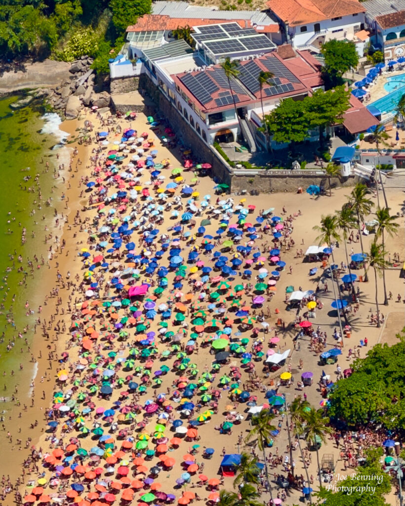
When we got to Sugar Loaf we could look over most of the city and its beaches. Some of the beaches were empty because the water was polluted by the oil of the boats anchored nearby. The other beaches were packed—including Copacabana beach.
Brazilian Beach is Crowded
To get to Corcovado mountain which is opposite Sugar Loaf, we took a 20 minute open air train ride up the side of the mountain. Corcovado mountain has the iconic Christ the Redeemer monument that overlooks the city.
We could make our way (kind of) around Sugar Loaf Mountain, and get some spectacular views of the city. But Corcovado mountain was teeming with people and it was impossible to get around. (After all, this is the height of the tourist season.) Not to mention that some not insignificant portion of the tourists / visitors acted like Instagram “influencers”. And it seemed like they all had selfie sticks.
Rio de Janeiro
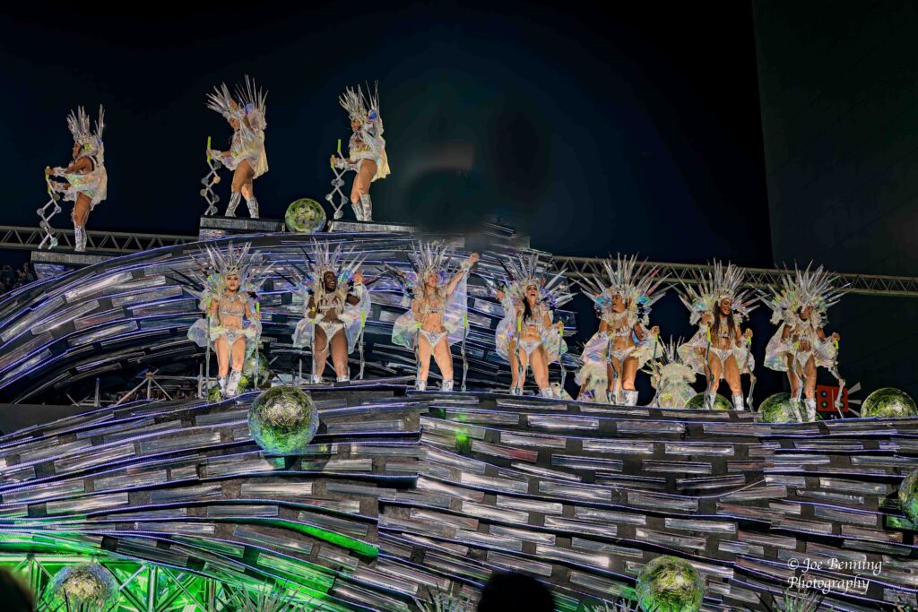
Anyway, then it was on to the culmination of the Carnaval competition in the Sambadrome. The various Samba schools apparently spend all year making floats and practicing for this annual competition.
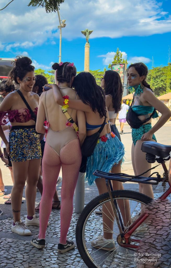
Carnaval lasts for about 4 days. The “unofficial” block parties start pretty much every night around 10:00 PM and lasted until 7:00 AM the following morning. And it seemed that everyone in the city got dressed up—or perhaps undressed—for the occasion.
Ready for Carnival !
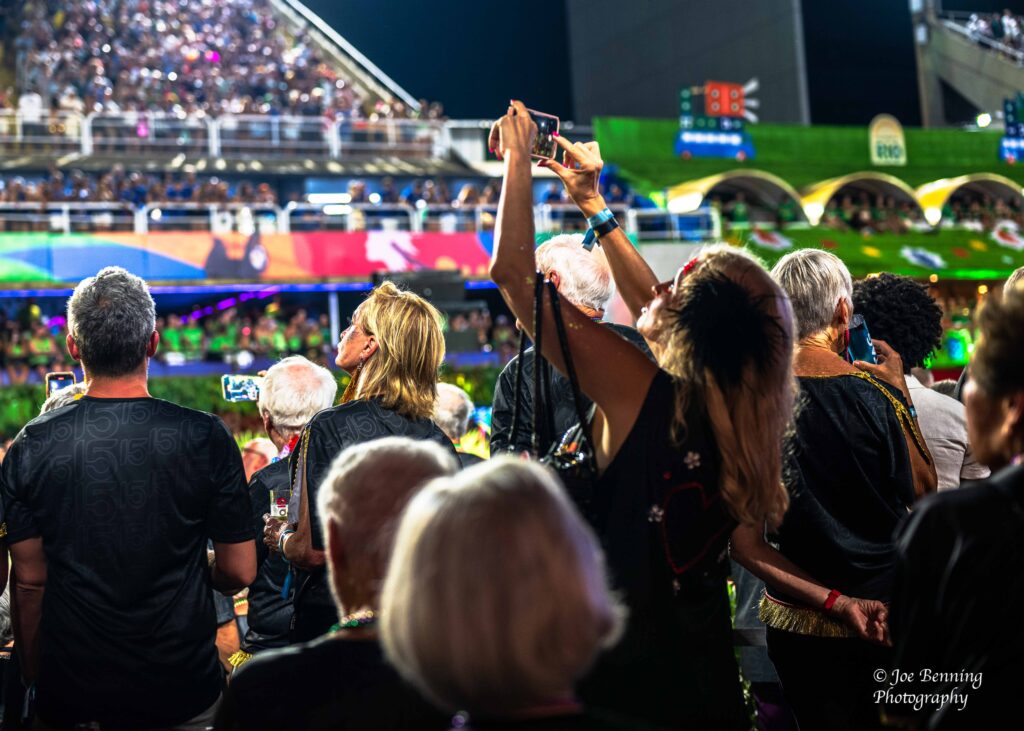
We left for the Sambadrome the final night and got there around 9:00 PM, where we had seats in a VIP section that was stocked with food and booze. It was like a sky box at a baseball game or the Super Bowl. And it had additional places at ground level, where most of the Crystal crowd stayed.
Carnaval Dancers in the SambadromeDancers at Carnaval
The competition began around 10:00 PM and the sound of the bass and drums was deafening. Each group of competitors (there were 3 that night) had 80 minutes to perform their routines. We, along with about a third of the Crystal crowd watched the first group and then left around midnight. But we know some people who stayed until 4:00 in the morning and didn’t get back to the ship until 5:00 AM.
Sambadrome Competition for CarnavalRio de Janeiro–March 4, 2025. Photo of the VIP box at Carnaval at the Sambadrome in Rio.
I couldn’t help but think that the Carnaval participants would be way better off spending more time taking geometry classes and less time building floats, but such is life. Anyway we will have a few more days in Brazil and then we will cross the Atlantic, headed for Europe.
We have already spent quite a bit of time in Brazil—and we are due to spend some more. We expect to arrive in Rio tomorrow, and then go on several tours over the next few days. The big event will be Carnival. We will be in attendance in the Sambadrome. It promises to be quite a spectacle. Stay tuned.
But before we get to Carnival…we visited São Paulo and Santos, as well as 2 Brazilian islands: Ilhabela and Paraty. São Paulo is one of the largest cities in South America and it is a cultural hub. But São Paulo is a mixed bag.
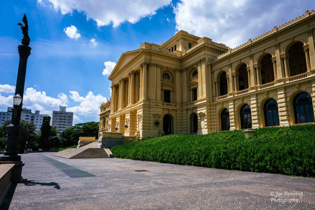
Museo Paulista of the University of São Paulo
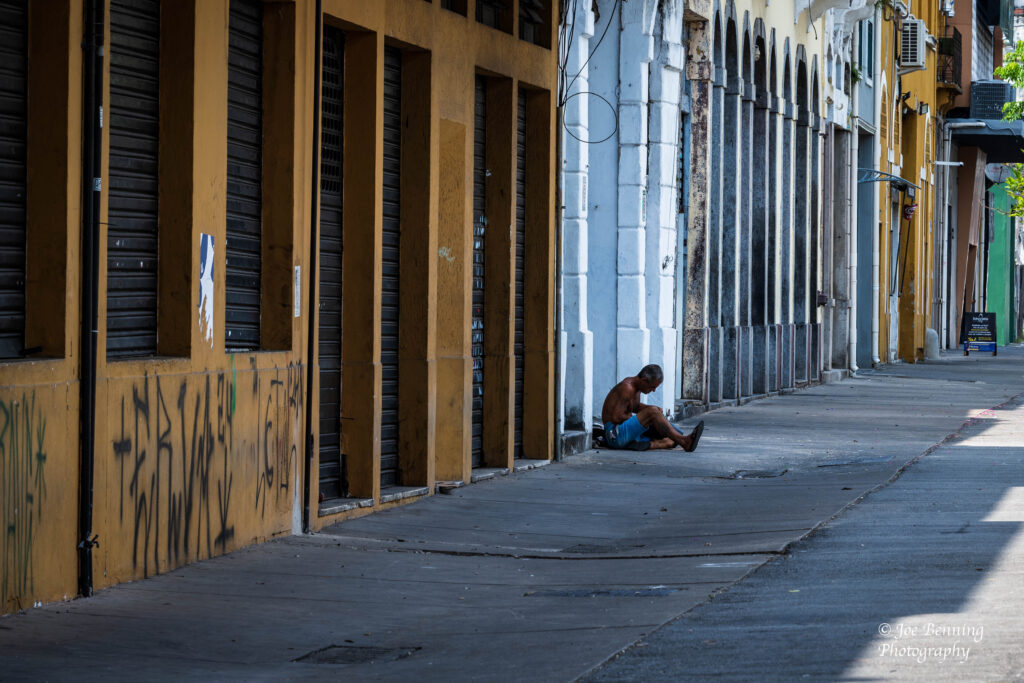
It has some very posh areas, like where we had lunch at Fogo de Chao. But it also has very poor areas; what appears to be a large homeless population, and (according to our guide) a significant problem with crack cocaine.
Man Sitting on the Street in Santos
Santos, a port city, appears to be more balanced, but it too has its rough spots. Santos has become a vacation area for locals and it encourages tourism. While there we visited a Museum dedicated to the football (soccer) great, Pele, who originally hailed from Santos; we visited the Coffee exchange and took a small train ride around the city.
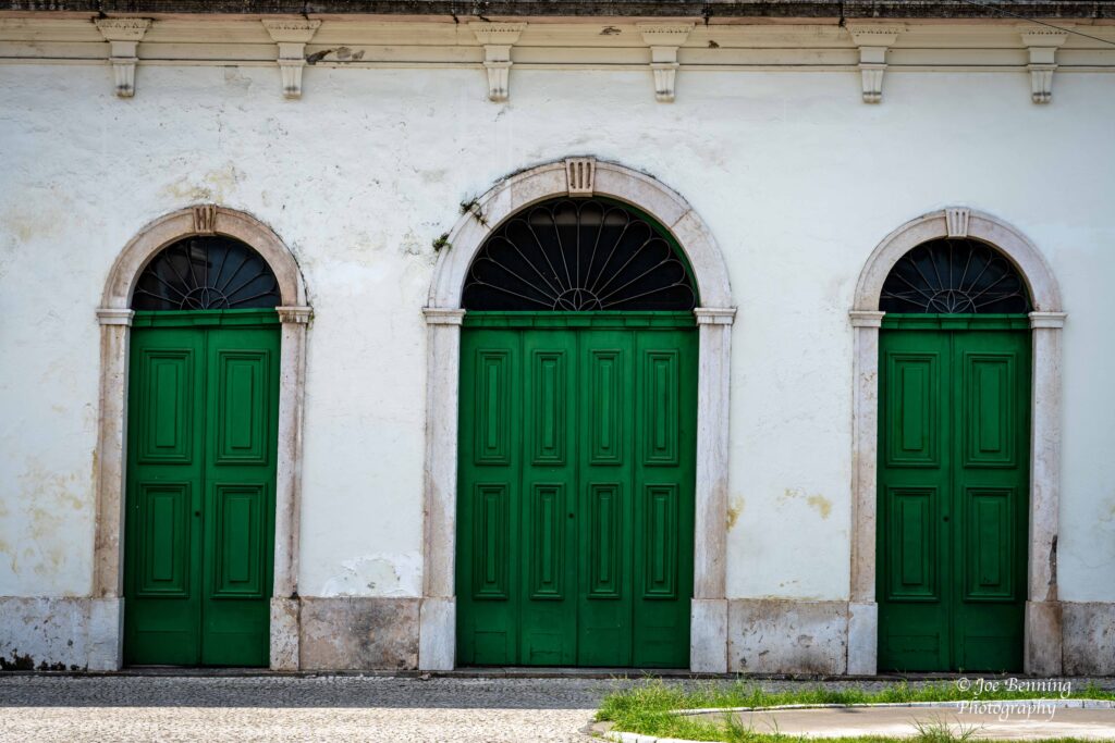
Green Doors by Pele MuseumThe Coffee Exchange
We also went to 2 notable islands: Ilhabela and Paraty. Ilhabela whose name means beautiful island in Portugese, is located 4 miles off the coast of São Paulo. While it used to be a place where sugar cane was grown on plantations by slaves, today it is known for its sandy beaches and tourism.
Beach in Ilhabela, Brazil
We anchored by Paraty Brazil, but didn’t venture out because, among other things, the Brazilian authorities changed our anchor position at the last minute. The change would have put us 4 nautical miles (and about an hour) away from the dock. So we declined going ashore. However we did get some photos of the sunrise over the island, shown below.
We will be spending a considerable amount of time in Brazil. That includes being shepherded into a special seating area, compliments of Crystal, to watch the parades at the Sambadrome, which is the main event.
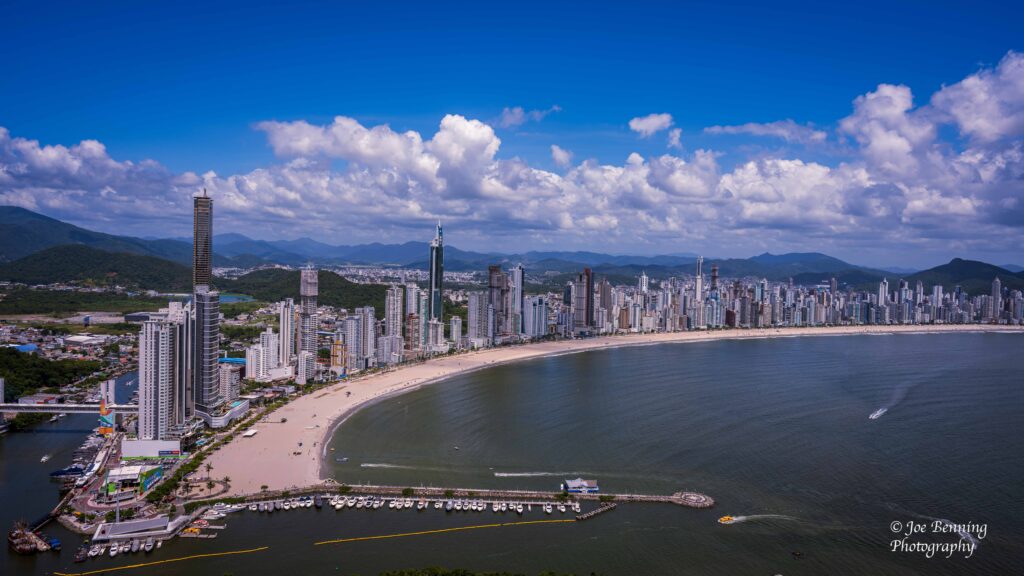
But before all of that, we made our first Brazillian stop in the port city of Balneário Camboriú. It is in the state of Santa Catarina. Located in southern Brazil, it is mostly a posh resort town whose population swells to over 1 million people in summer from 145,000 in winter. When you first see its skyline and white sandy beaches, you would think you were looking at Miami.
Looking Down on Balneario Camboriu, Brazil
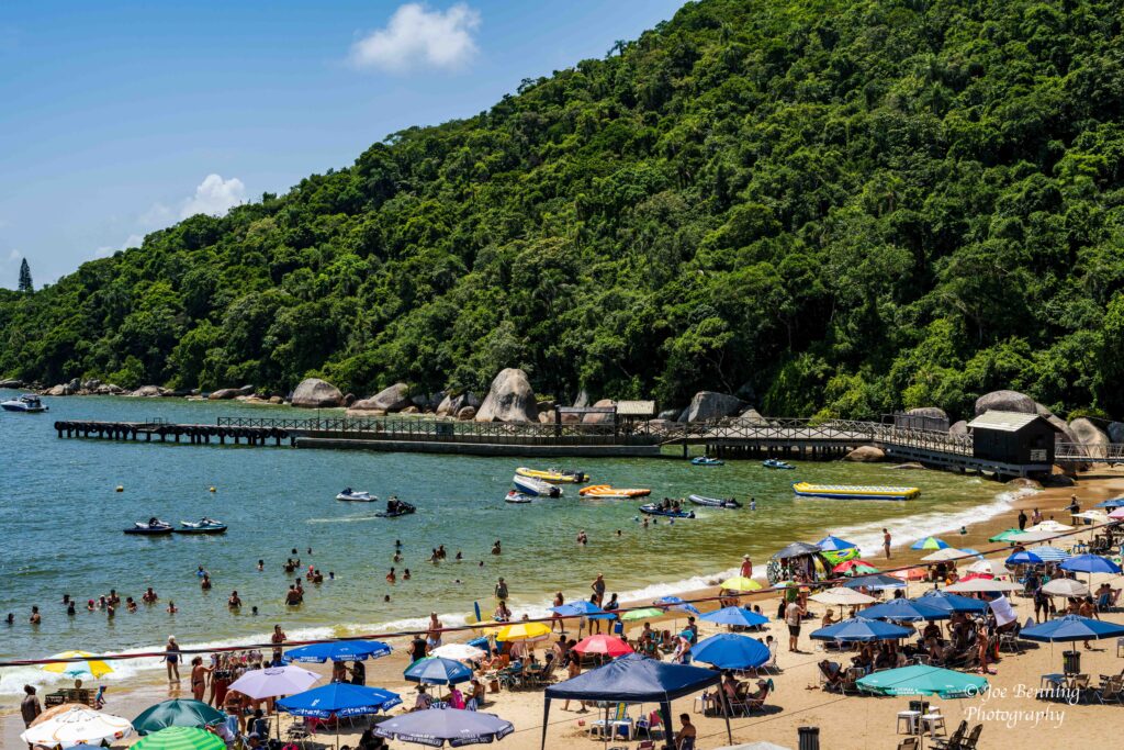
The city has 2 beaches—one that is “clean” and the other that is not. It contains all types of germs from untreated water the comes from the upstream river. The locals go to the beach, but avoid the water. They go to the clean beach instead. I should hasten to add that it is not exactly a mystery that the beach has untreated water. But the tourists are apparently not so cautious as the locals and dive right in.
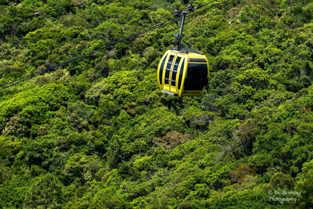
Cable Car in Balneario Camboru Brazil
There is a cable car that runs between the 2 beaches (after going up a steep mountain.) We took a ride in the cable car and then went for a walk in the Atlantic forest. After the walk we went to the clean beach.
Brazillian Beachgoers
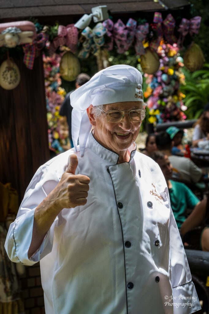
Along the way we ran into a friendly merchant who had a cafe / gift shop in the rain forest and who encouraged us with the “thumbs up” sign.
Merchant Gives Thumbs Up Sign
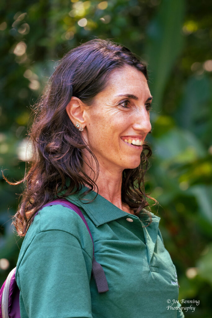
For some reason other, our (very good) guide refused to call the Atlantic forest a rain forest. I don’t remember why. However, a lecturer on Crystal who is also a professor at Santa Clara University characterized it as a rain forest, so that’s what I’m going with.
Our Tour Guide Named Gabby
Anyway, our next port of call will be a few days in Santos. We’ll see what that brings.