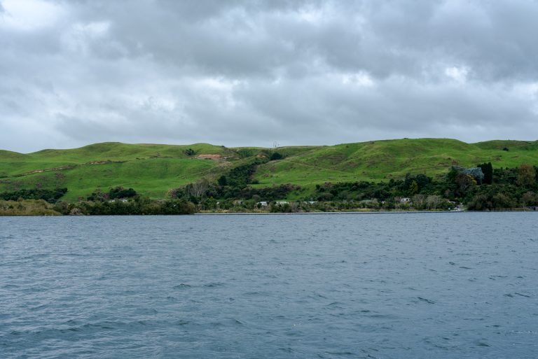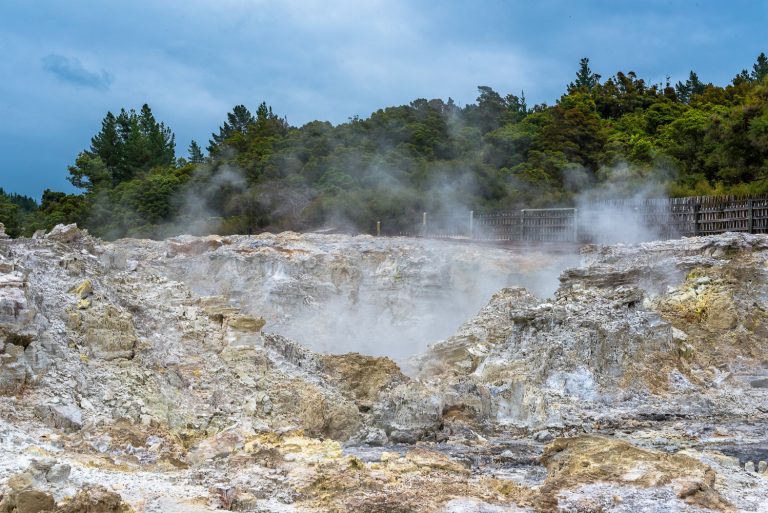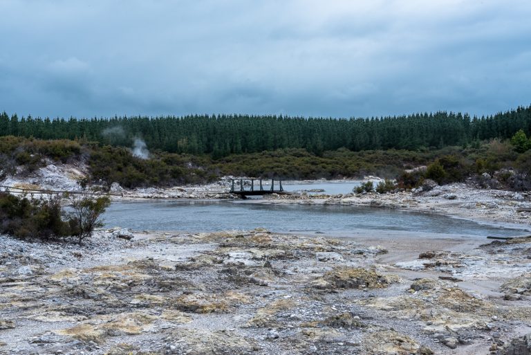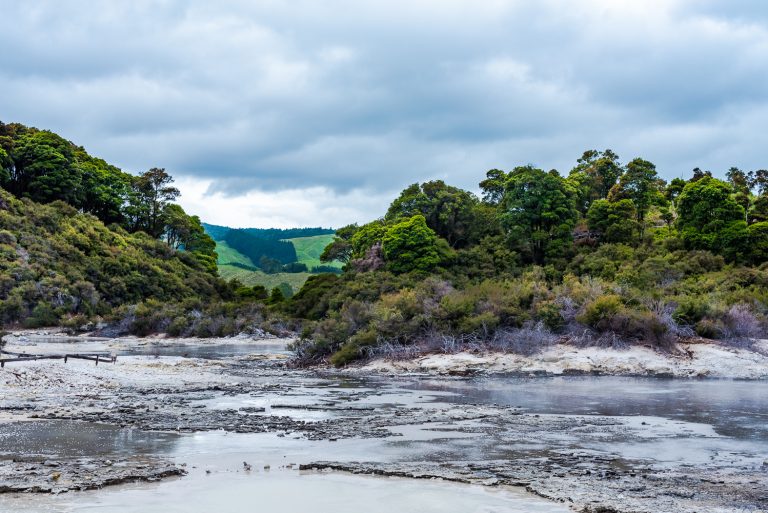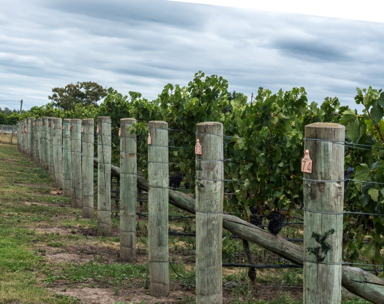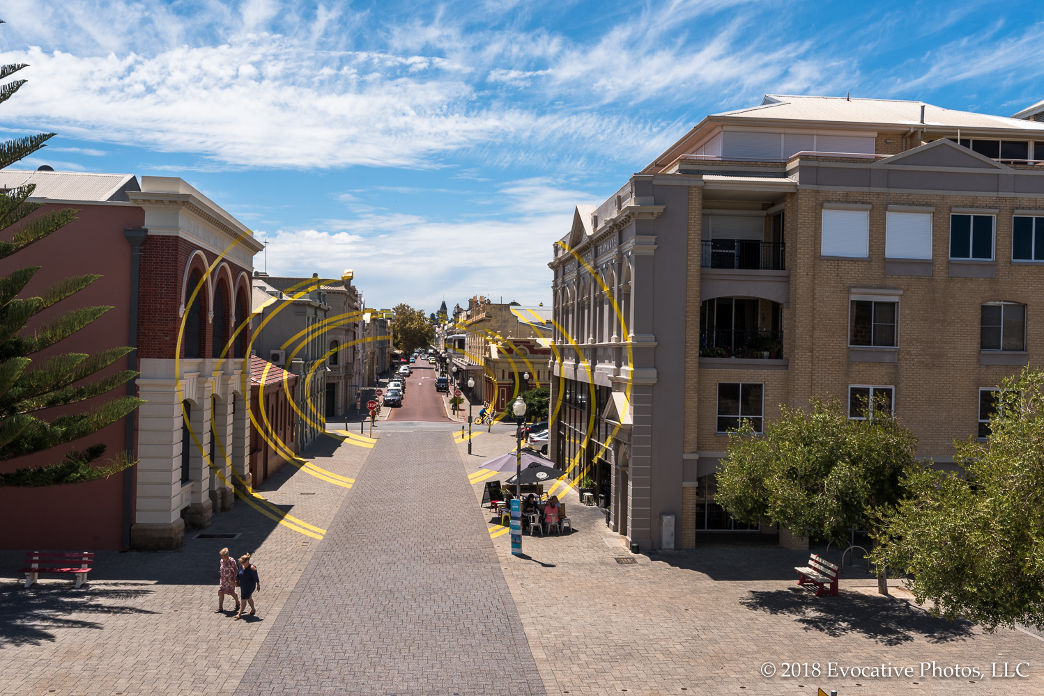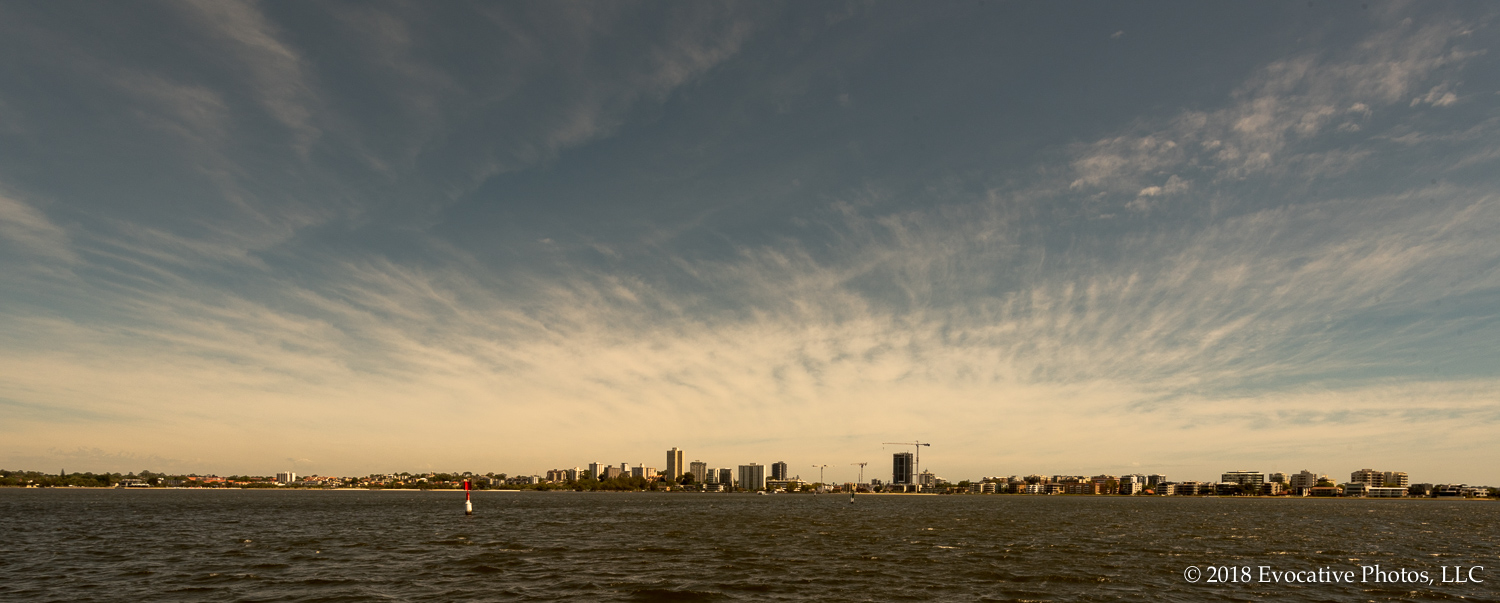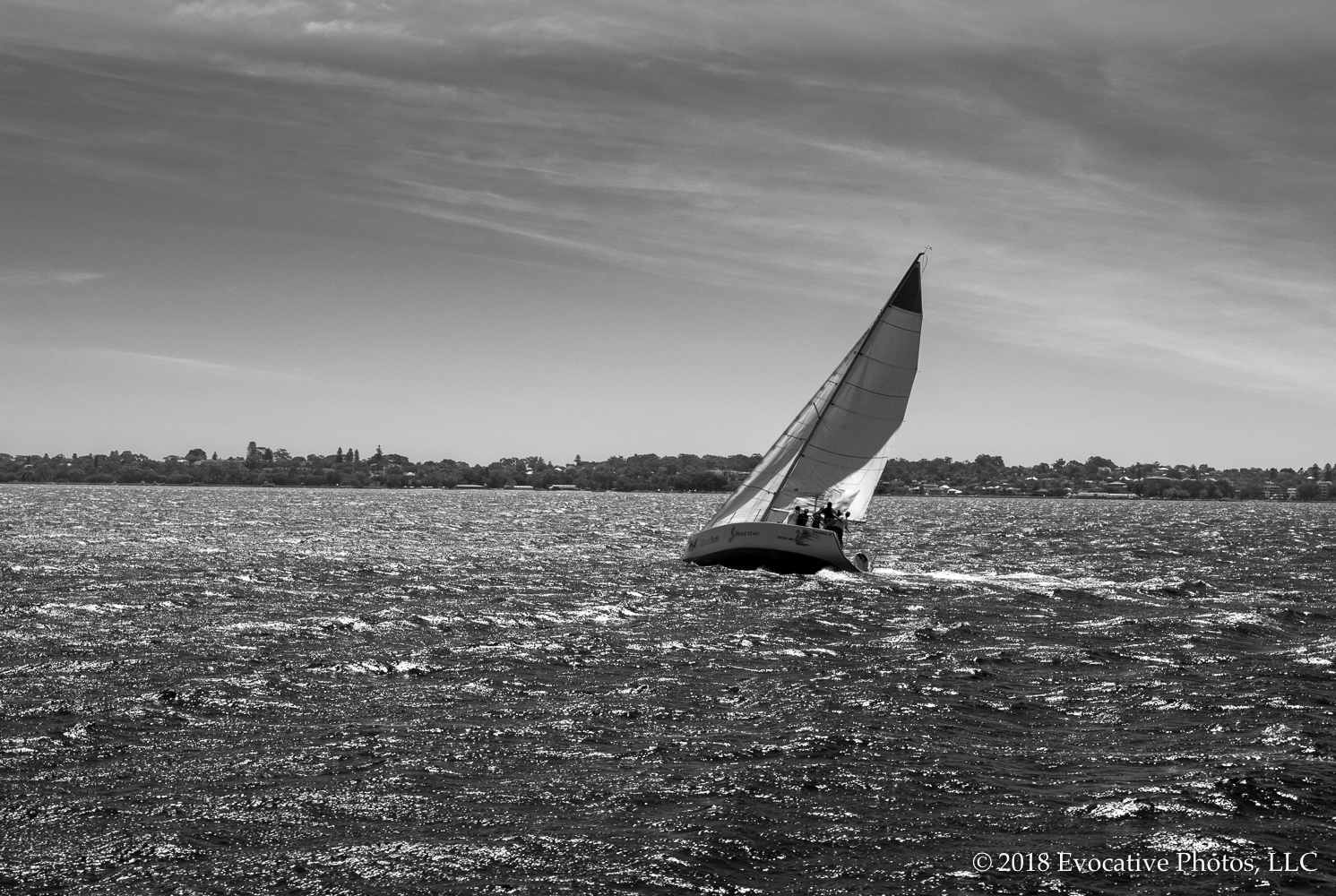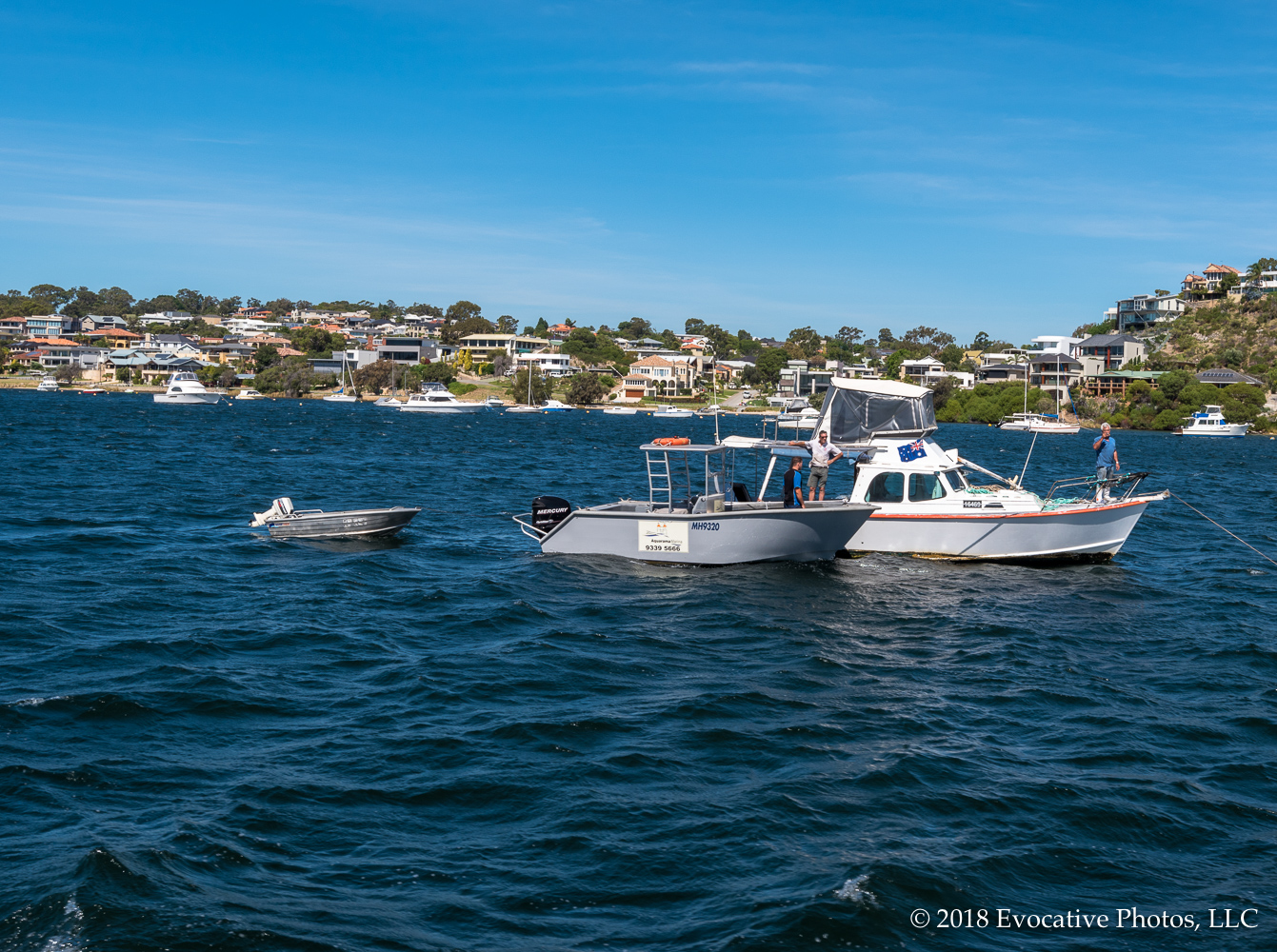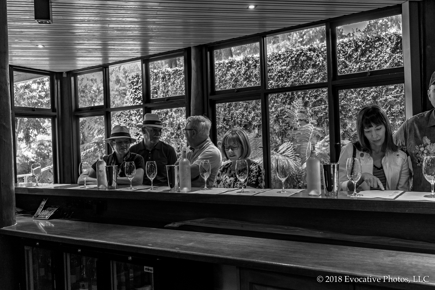
Napier (Ahurin in Maori) is located on the eastern coast of the North Island of New Zealand. It has a population of about 68,000 people. Most notably it is set in the famous wine producing region of Hawke’s Bay. Needless to say, that’s where we went and visited the Abbey Cellars Winery, which is a small family boutique vineyard that makes some fine wines. Since it is pretty small, it doesn’t have a distributor in the U.S. but, not surprisingly, you can order from them online.
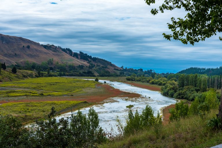
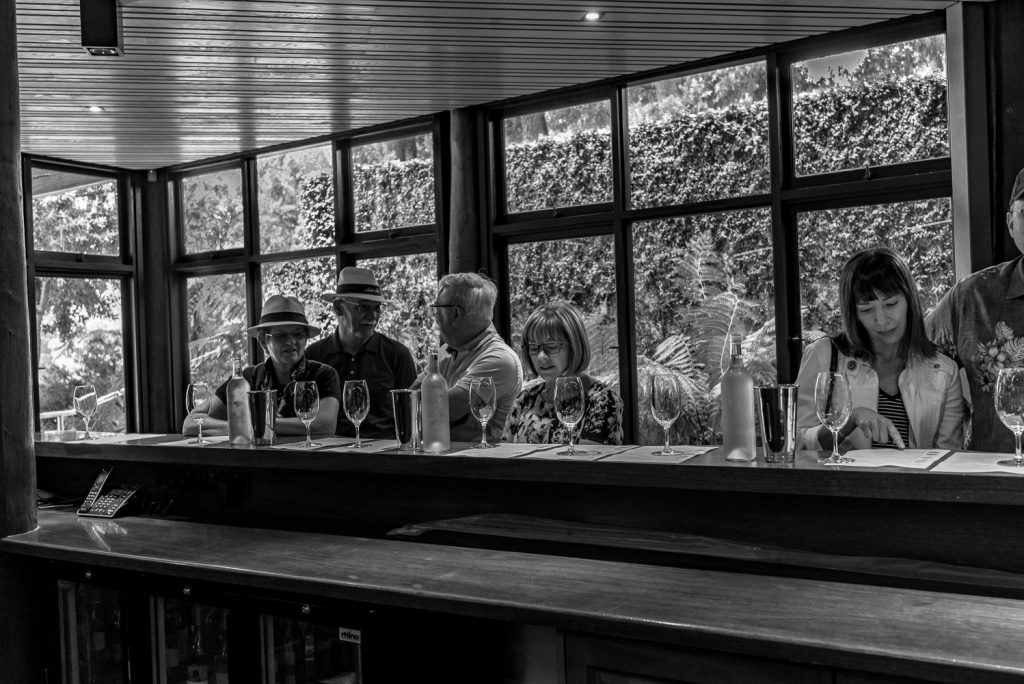
Not only do they make very good wine, the vineyard is in a stunningly beautiful setting with an outdoor tasting area that looks down over a valley and river. Across the way more mountains are visible in the background. Here (below) are a few photos from the trip.
JFB
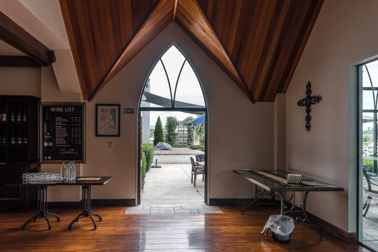
Indoor Tasting Room at Abbey Cellars
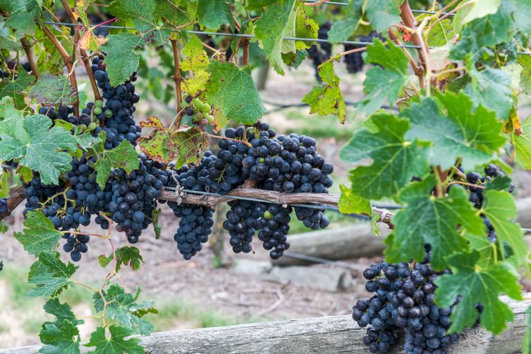
Grapes ripening on the vine
River runs through a valley below
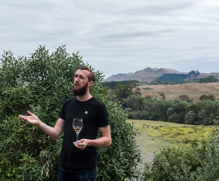
Sommelier explains the finer points of tasting wine
Wellington (Whanganui-a-Tara in Maori) is the capital city of New Zealand and its most populous urban area. It is in at the southwestern tip of the North Island, which lies in the latitudes known as the “Roaring 40s”. There it is exposed to the winds blowing through Cook Strait, so is the windiest city in the world, with the winds averaging 17 mph.
Because it is so windy it is ideal for generating wind power. And so, as part of our tour, we visited the largest source of power generation in the region, Meridian Energy’s East Wind Farm. The turbines, which are located at the top of a mountain, are enormous. Along with our fellow tourists and a couple of guides off we went we went in a couple of off-road jeep type vehicles up the unfinished gravel roads leading to the top of the mountain to see the turbines. And miraculously enough we didn’t fall over the edge.
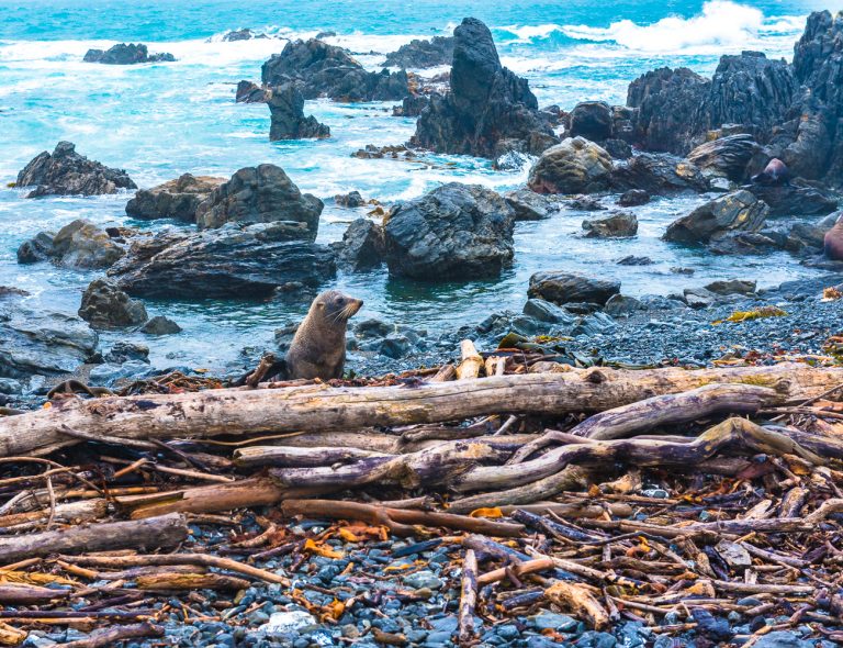
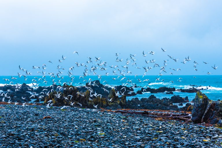
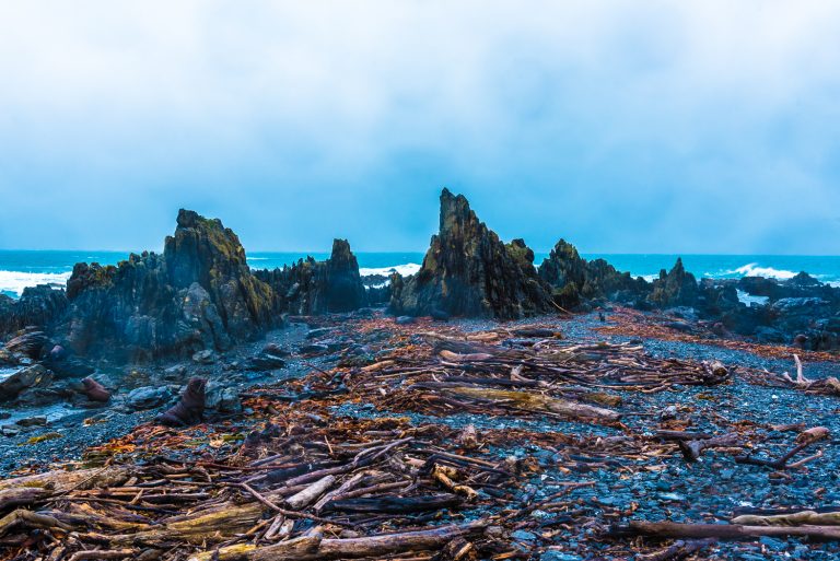
It’s hard to believe but after that the roads leading to the beach below got even worse. Regardless we persevered and made our way down to where the seals hang out. Unfortunately, we were greeted by heavy winds and cold, torrential rain, which didn’t bother the seals one bit. So, we piled out of the jeeps and got very close to the seals—only yards away—to observe them as well as birds in the wild. It was well worth the effort, wind, rain and all. It had a land that time forgot quality to it, but it’s the only way to see what it’s really like in this type of environment. Plus, the guides made coffee.
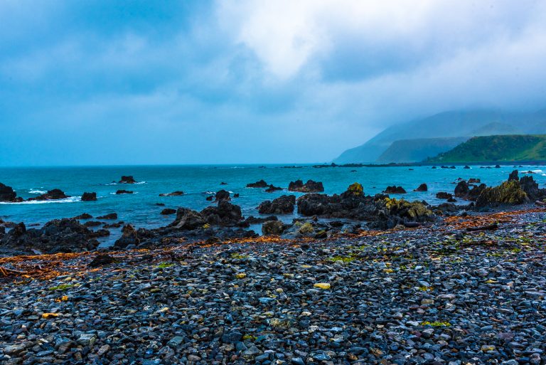
Here below are some photos from this adventure on the rocky, storm swept beach.
Before turning to the city of Nelson, New Zealand, a piece of news. We published an article in Apogee, an online photo magazine, that recounts some of our Safari in South Africa. The article can be seen at this link:http://www.apogeephoto.com/glamping-photo-safari-africa/
Now–back to Nelson.
Nelson, the second-oldest city in New Zealand, is on the eastern shore of the Tasman Bay. The city is also known by its Maori name of Whakatu. The Maori settlements in what is now Nelson came about 700 years ago, beating Captain Hook to the punch by a couple of hundred years. The city, with a current population of about 50,000 was established as Nelson in 1841. It is named for Admiral Horatio Nelson who defeated the French and Spanish fleets at the battle of Trafalgar in 1805. Not Ricky.
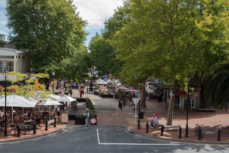
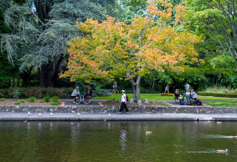
It is a charming and laid-back city with a museum, lots of shops, the Queen’s Gardens and a pleasant vibe. It is worth noting that in this regard Nelson is not the exception: all the cities of former members of the Empire have gardens and buildings commemorating the royals.
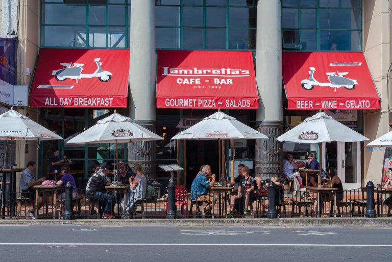
Shopping, bars and restaurants in Nelson
Sidewalk Cafe
Captain Hook, who visited New Zealand 3 times, is credited with discovering it (for the West) around 1769 – 70. The Maori have a different perspective about this. Britain declared sovereignty based on the Treaty of Waitangi in February of 1840. The treaty signers were the chiefs of the major tribes of the north island and representatives of the British Crown. Parts of the treaty are still in dispute, and representatives of the Maori people and the New Zealand government have been working for years to reconcile their differences over the treaty and arrive at a final resolution.
That aside there is evidence that suggests that Arabs had discovered New Zealand even earlier, perhaps around the 13th or 14th centuries. Regardless, New Zealand’s is now an independent state whose independence nevertheless came in fits and starts instead of in one fell swoop. The Queen of England, though, is still formally the head of state.
When Peter Jackson filmed JRR Tolkien’s Lord of the Rings Trilogy, he was determined to be as true to the book as possible. One of the first problems he faced was finding a location that looked like the Tolkien’s description of the fantastical Middle Earth which he dubbed “Endor”. Endor had snow-capped mountains, golden grass covered plains, sandy beaches and rain-forest creeks. As it turns out, New Zealand’s 400,000 hectare Kahurangi National Park fit the bill perfectly, which is why Jackson filmed Lord of the Rings there.
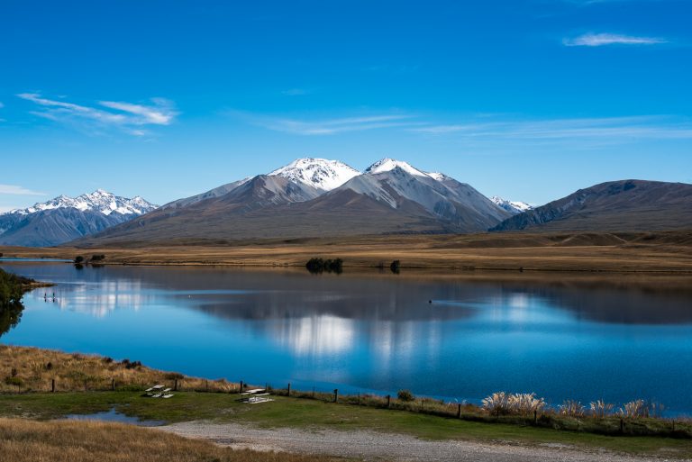
Which, in turn, is why we went there on a tour. It is not to be missed. The park has towering snow-capped mountains that slope down to a valley with wide open plains where some of the climactic battle scenes were filmed. First, we went to Lake Clearwater that served as a backdrop, as seen below.
Looking over Lake Clearwater
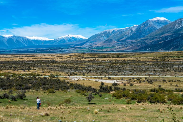
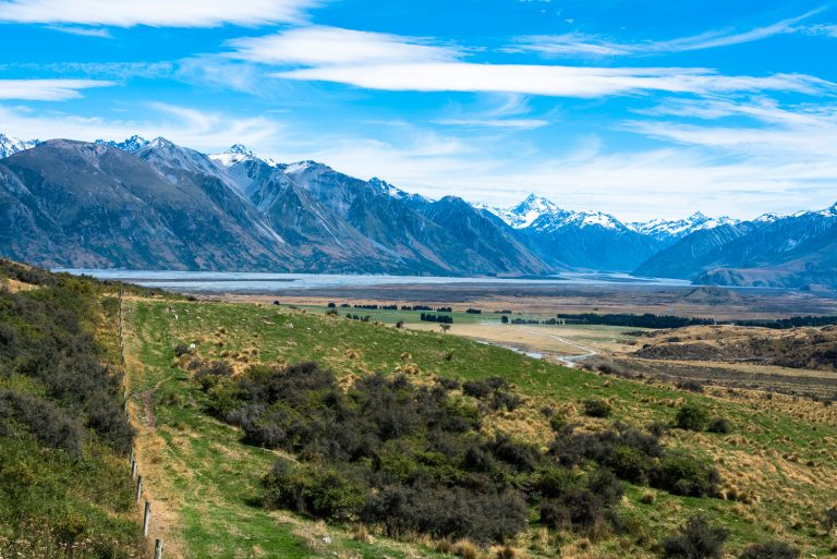
After Lake Clearwater, we were off to the mountains and valleys in the park. The shear scope of the landscape is hard to imagine. The valley is huge; it is home to rivers and streams and is surrounded by snow-capped mountains. One of the photos below has a woman in the lower left quadrant to give some perspective on how vast the expanse of land is.
Woman in Valley
Snow Capped Mountains
Anyway, the next two stops are Nelson and Wellington, so we’ll see what adventures await us there.
We made our way to Stewart Island, also known as Rakiura by the Maori people who arrived from Polynesia about 800 years before Captain James Cook claimed it for the British Crown. It is the 3rd largest of the New Zealand islands measured by size. But the population is only about 400 people. So, we docked in the Tasman Sea and took tender boats over to the island to look around, which took all of 5 minutes, and then we were off with a local on a boat ride in the Tasman Sea.
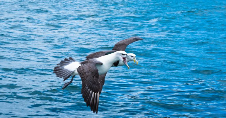
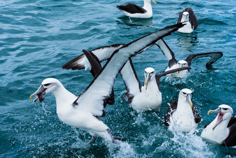
While cruising around the Tasman Sea we were able to see a bunch (actually a rookery) of Albatross searching for fish, made easier for said Albatross by the ship’s mate who tossed fish over the side to attract them. If you get a close up look at these birds you understand why you don’t want an Albatross around your neck. They are big and aggressive, with large beaks which they do not hesitate to use.
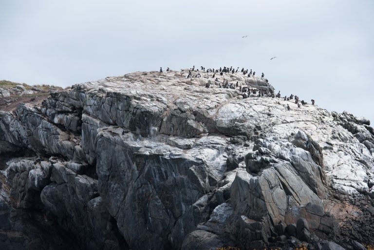
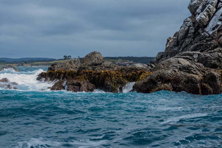
We were also able to sail by the rock formation where the penguins hang out in the neighborhood, and saw lots of them, maybe numbering about 100. After that we headed back to the big ship to continue to sail on to Dunedin, which we reached the next morning.
Here are some photos of Albatross, Penguins and rock formations in the Tasman Sea.
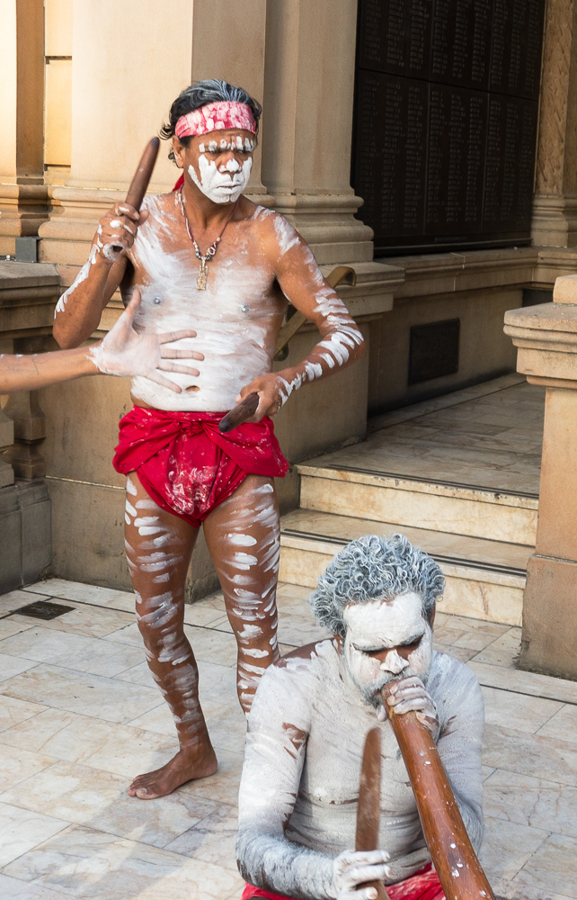
We have left Australia and we are on our way to New Zealand. On our last evening in Australia we went to a gala event in Sydney’s Town Hall, itself an architectural wonder. Outside we were met by Aborigines in native dress. Inside we were treated to natives playing traditional Aboriginal music, some classical pieces played by Argentine virtuoso Hector Olivera on the 8,000-pipe organ in the Town Hall, a truly stunning performance by the Australian Girls’ Choir, and more music by Australian vocalist Phillip Mark Quest, who won the Laurence Olivier award for Best Actor in a Musical no less than 3 times.
And we don’t want to forget the excellent vineyards, rain forests, animal habitats and great hospitality of the Aussies.
Here below are a few more shots taken around Australia. In addition, there are about 100 or so additional Australia photos posted on Evocative Photos at much higher resolution. So, if you get a chance please visit www.evocativephotos.com
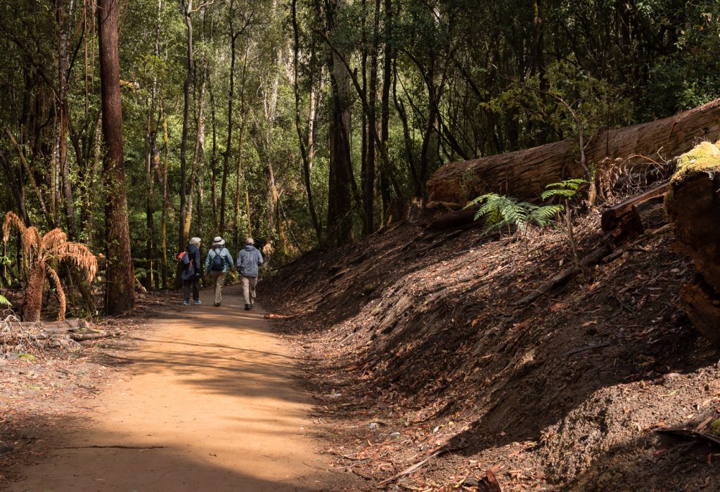
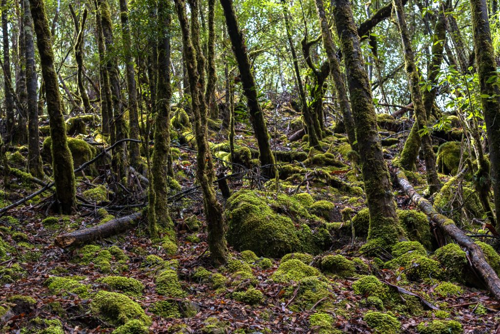
We made it. By that I mean we successfully returned from a 2.5-hour hike through a Tasmanian rain forest in Mount Field National Park. The park is around 22,000 hectares (about 54,000 acres) and is part of the Tasmanian Wilderness World Heritage Area. When we finished climbing up and down the mountainside (2 times no less), it felt like we covered the entire 22,000 hectares in one shot.
A Walk in the Rain Forest
But, truth be told it was well worth it, even considering that the forest lacked elevators.
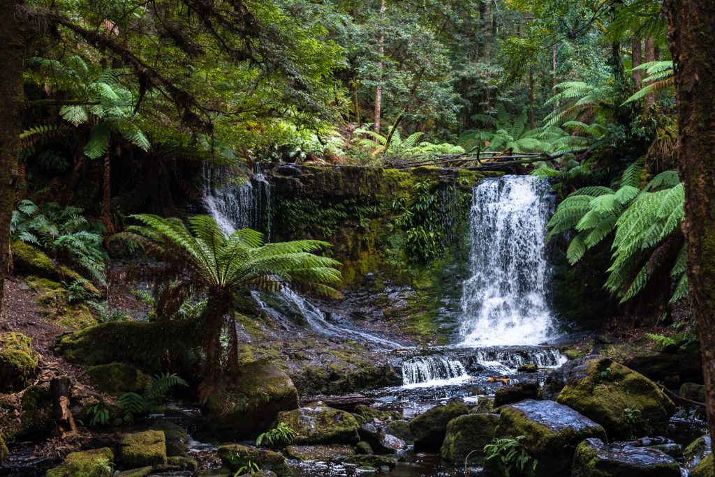
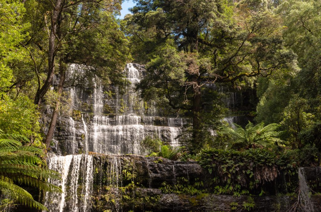
The first thing you notice in the forest is the air quality. It is bracingly fresh and clean with the scent of the eucalyptus trees everywhere. The sights and scenery are just spectacular. We visited at least 3 waterfalls, and hiked through a field of tall trees with some trees being hundreds of years old. It turns out that these swamp gum trees are tallest flowering plants in the world.
Anyway, we finished the hike and we are on our way to Sydney.
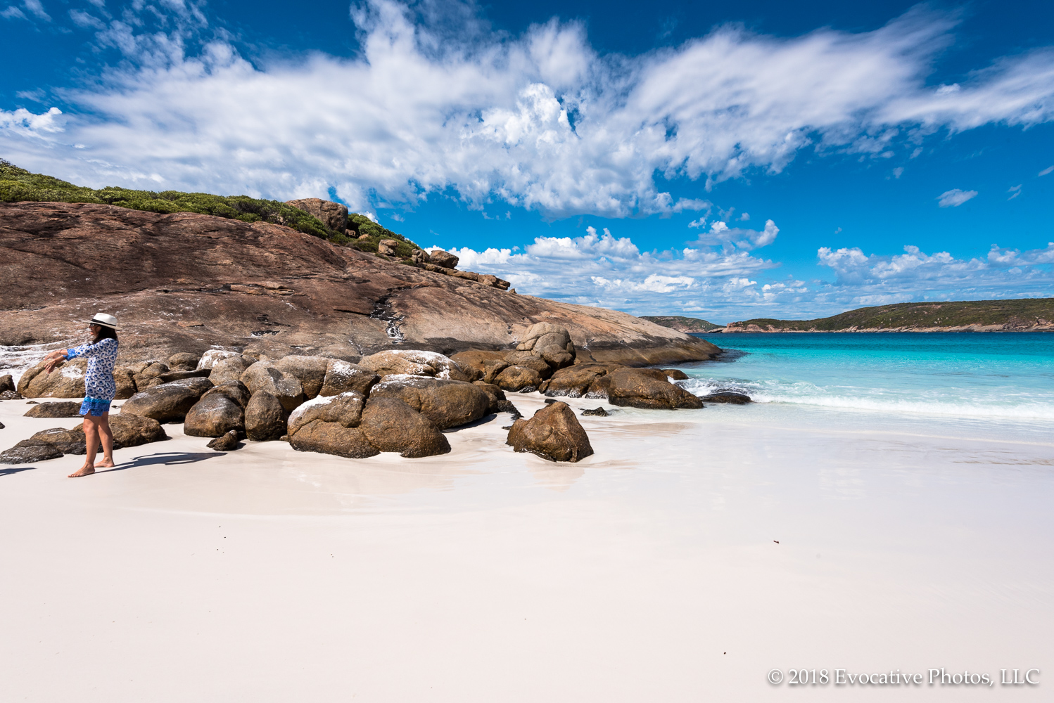
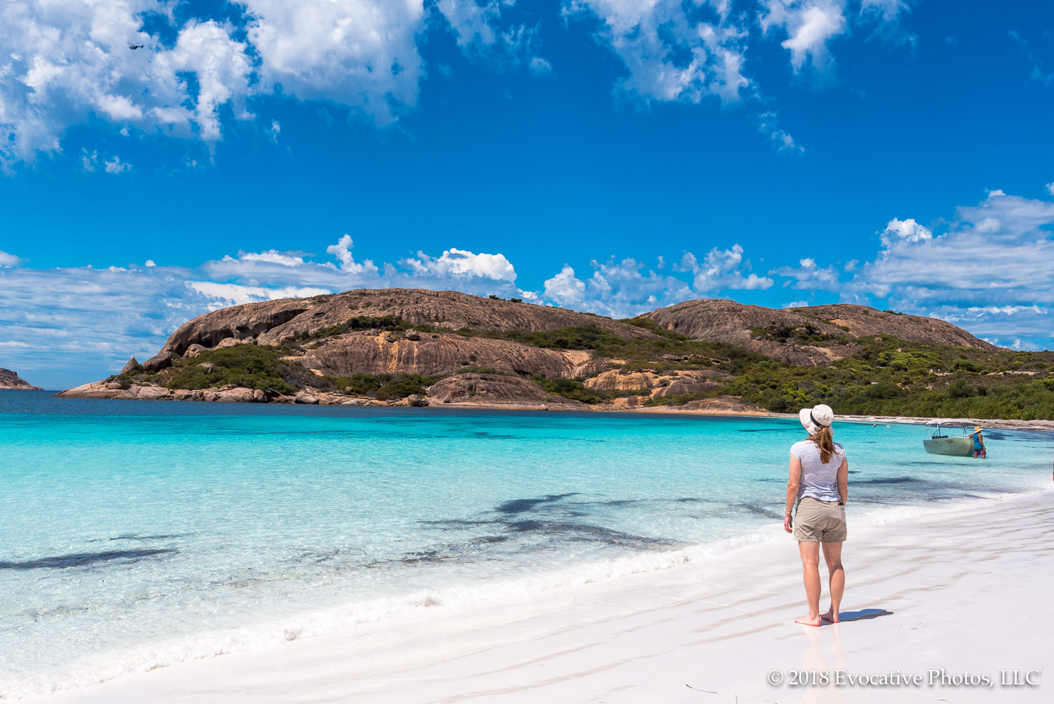
Vineyards, beautiful beaches, wildlife reserves, stunning landscapes—Australia’s got them all. After spending a lot of time at sea now we are hopping off the ship almost every day to visit sites on land. That includes Perth, Freemantle, Geraldton, Bunbury, Albany and Esperance.
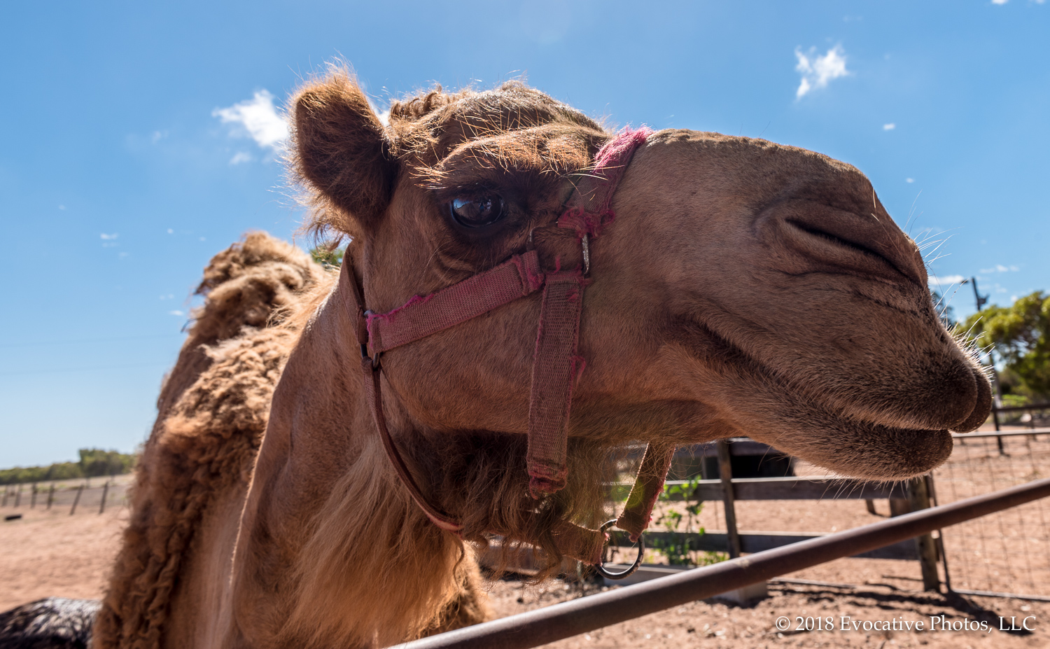
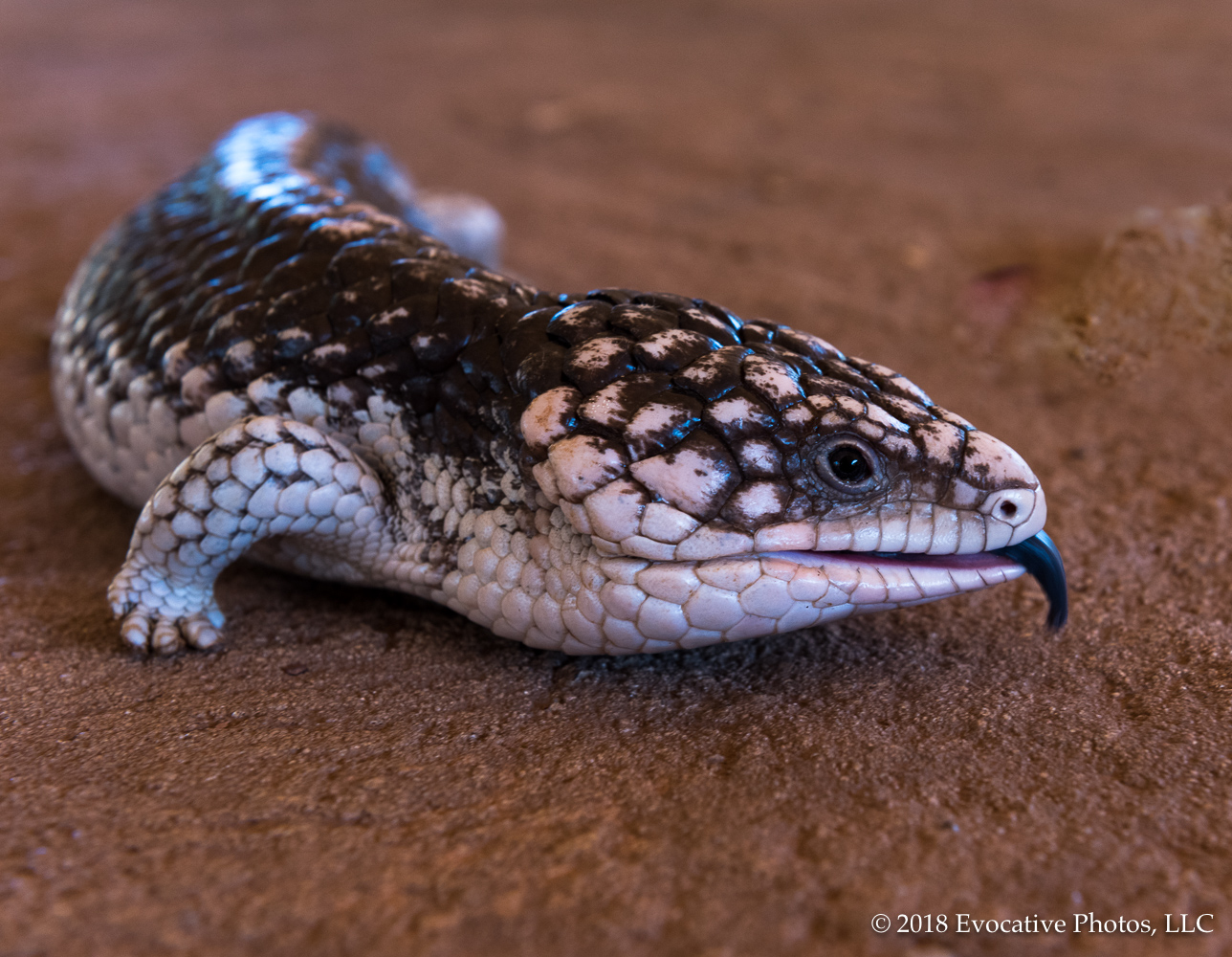
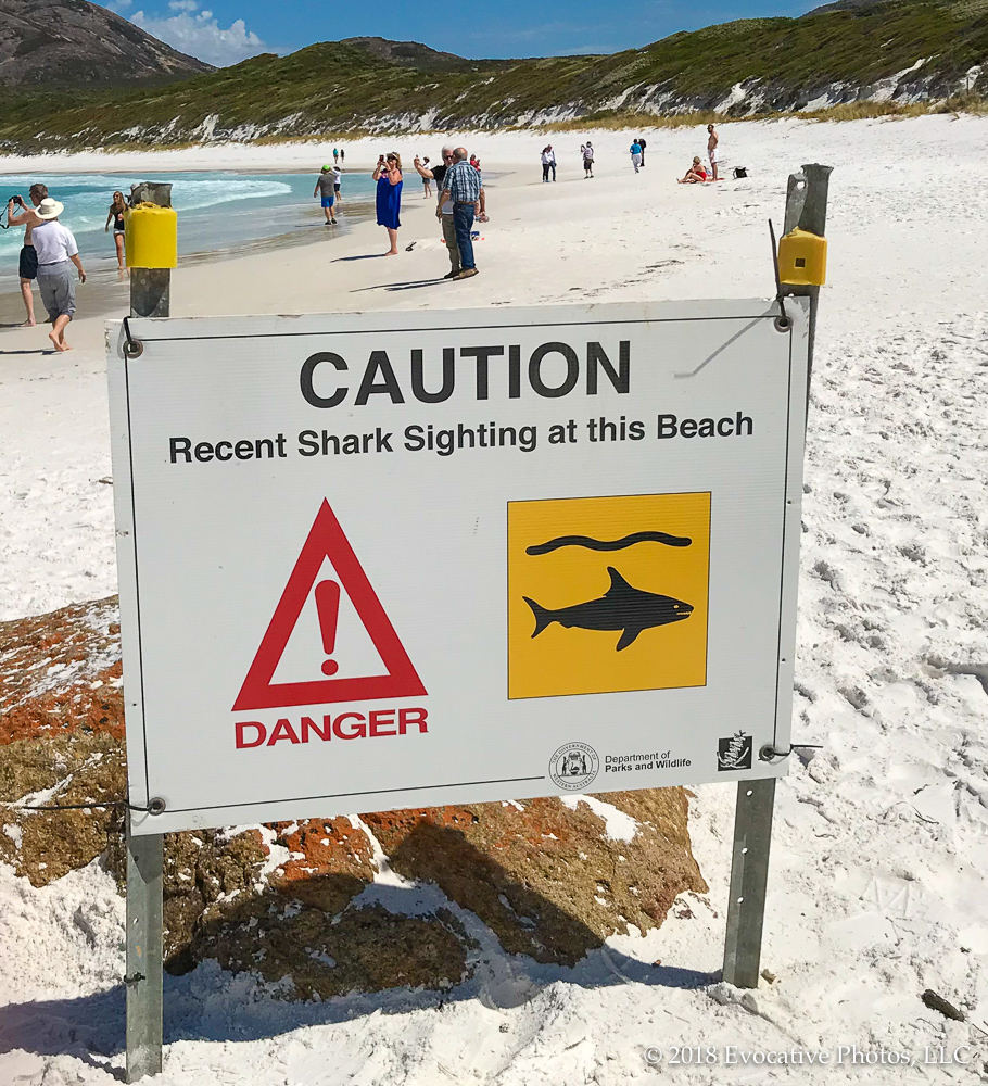
So we visited and had lunch at several vineyards with excellent cabernets, pinots, chardonnays and sauvignon blancs. There are plenty more vineyards in Australia and New Zealand on the schedule of what is becoming the world wine-tasting cruise. Beyond the wine, there are the kangaroos, the camels and various birds and reptiles at the wildlife reserves. And the beaches are simply spectacular, although you have to watch where you swim. It’s a really good idea to pay attention to the shark sighting signs.
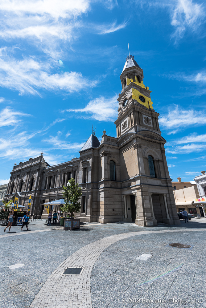
We have set sail from Esperance and we are on our way to Hobart, a city in Tasmania. We’ll report in from there as well. In the meantime here (below) is a selection of photos from some of the places we visited in Western Australia in the last several days. Before long we will post better quality photos with higher resolutions at our licensing site Evocative Photos, at this link: www.evocativephotos.com.
In the meantime, if you click on any of the photos below a light box will materialize so you can easily view them in a larger and better-lit format.
Eight days at sea is a long time, so we were glad to finally arrive at the port town of Broome, Australia. Located in the Northwest of Australia on the coast of the Indian Ocean on the traditional lands of the Yawuru people, Broome is a small port town that is famous as a center for the Pearl trade and as a tourist town. The population, normally around 15,000, swells to 45,000 during the tourist season.
The oysters in the area are well-known for their pearls and divers by thousands have sought their fortunes by making deep (and dangerous) dives to retrieve them. There are enough pearl shops in the small town to be dangerous as well, although not the same way. In 1879 Charles Harper suggested that the pearling industry would be well served by using the port at Roebuck Bay by Broome, which is close to the pearling grounds where the divers worked. That put Broome on the map, and it eventually became a tourist attraction as well as a center of the pearl industry.
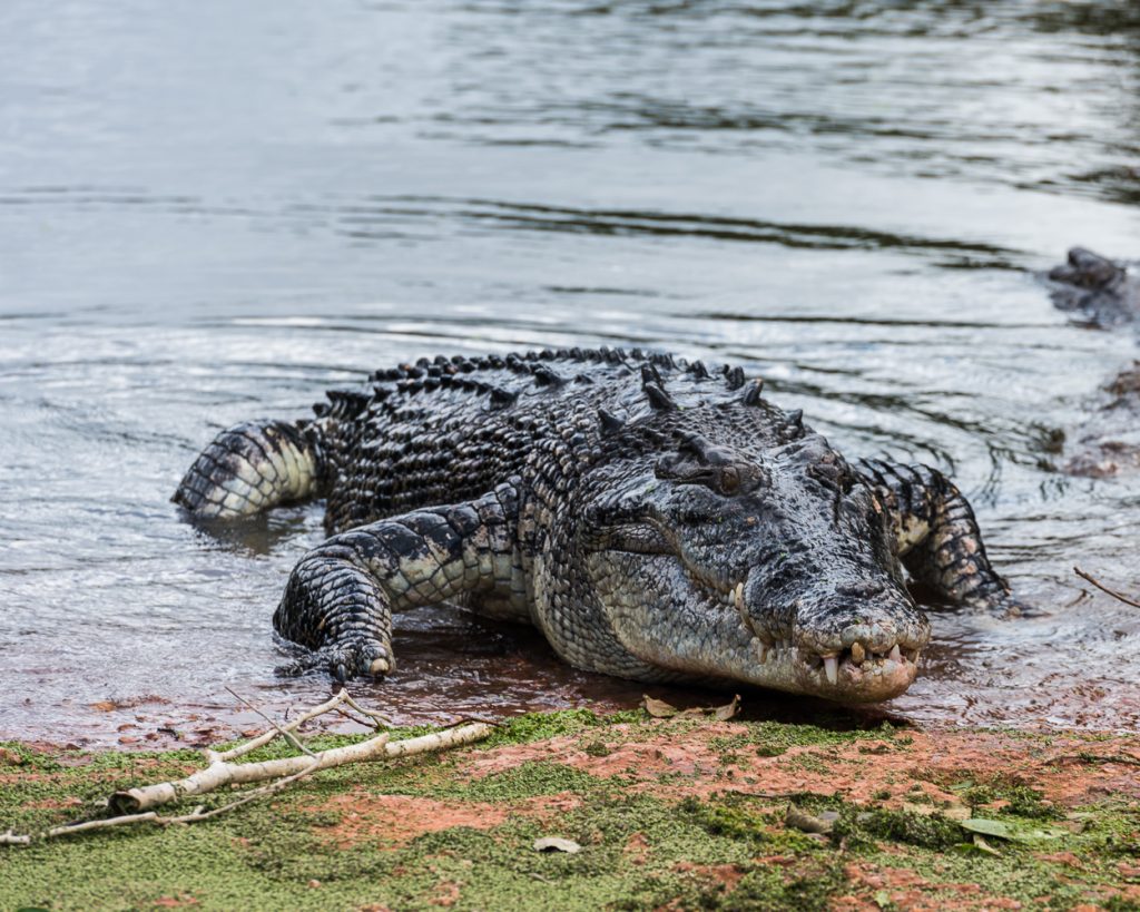
Even though the town is small by population, there is a lot to see. We went to the center of town and successfully avoided the pearl dealers. More importantly, we went to a wildlife park where we saw crocodiles, lots of them, where they are protected. There are about 2,500 of them in all. After you see these guys at feeding time and hear their jaws snap shut, you pay rapt attention to the safety instructions of the guides.
Crocodile crawls out of the water
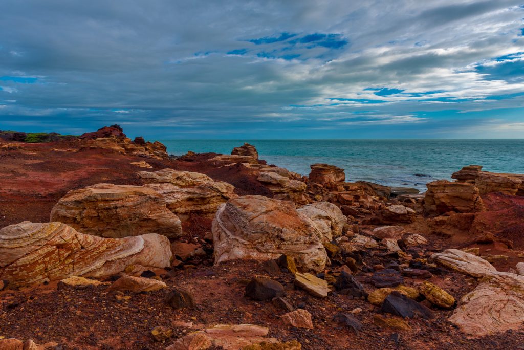
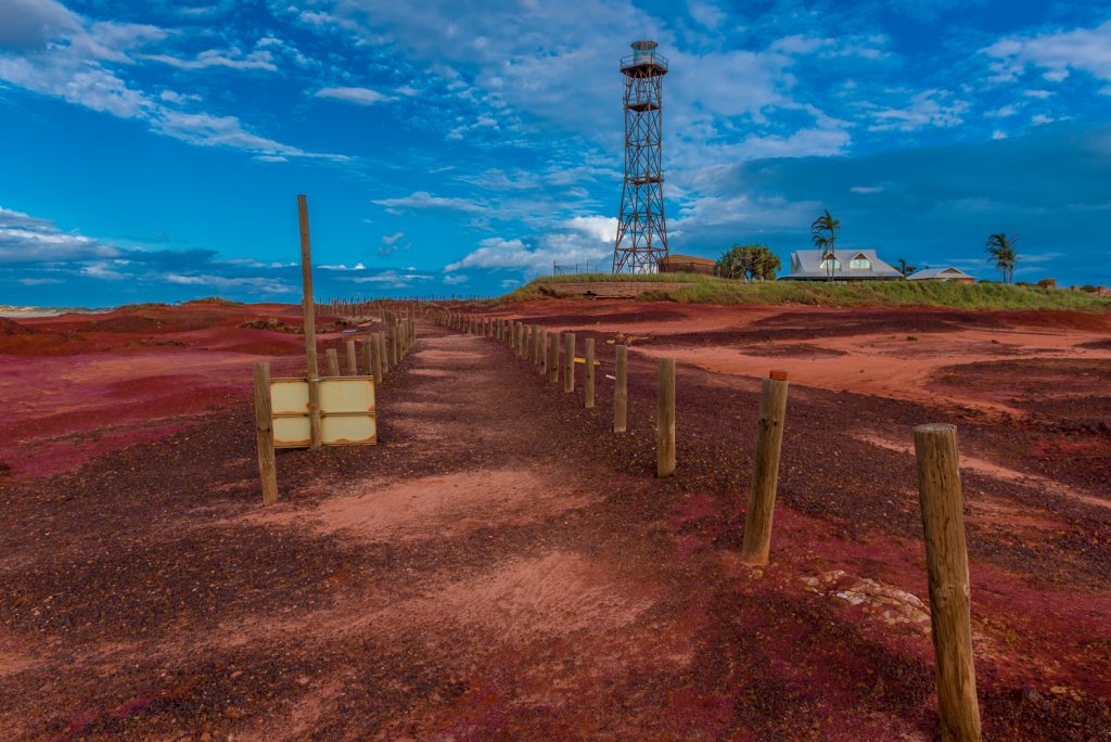
After the crocs we visited Cable Beach where they often have camel rides—but not this time because a few days prior a cyclone swept over the area and the beach needed repair. And after that we visited Gantheaume Point, a truly spectacular lookout point and lighthouse near cable beach with red rock formations overlooking the Indian Ocean.
And next we set sail for Geraldton, the last stop before Perth.
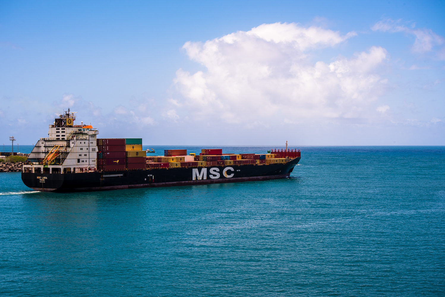
We paid a visit to Port Louis, Mauritius and spent 8 hours or so exploring this small (pop 1.3 million) island country on a guided tour. Unfortunately though, we did not get a chance to see much of Reunion when we docked there. That’s because the cyclone that passed over the island washed out the roads on our scheduled tour. Fortunately, we missed the cyclone.
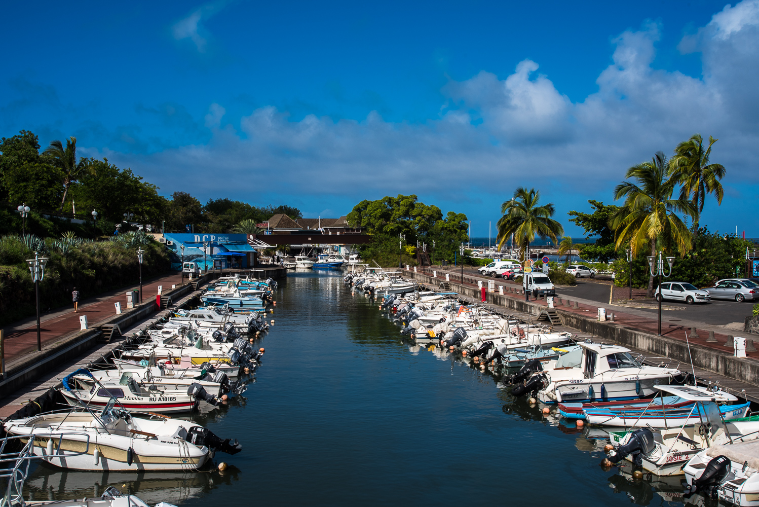
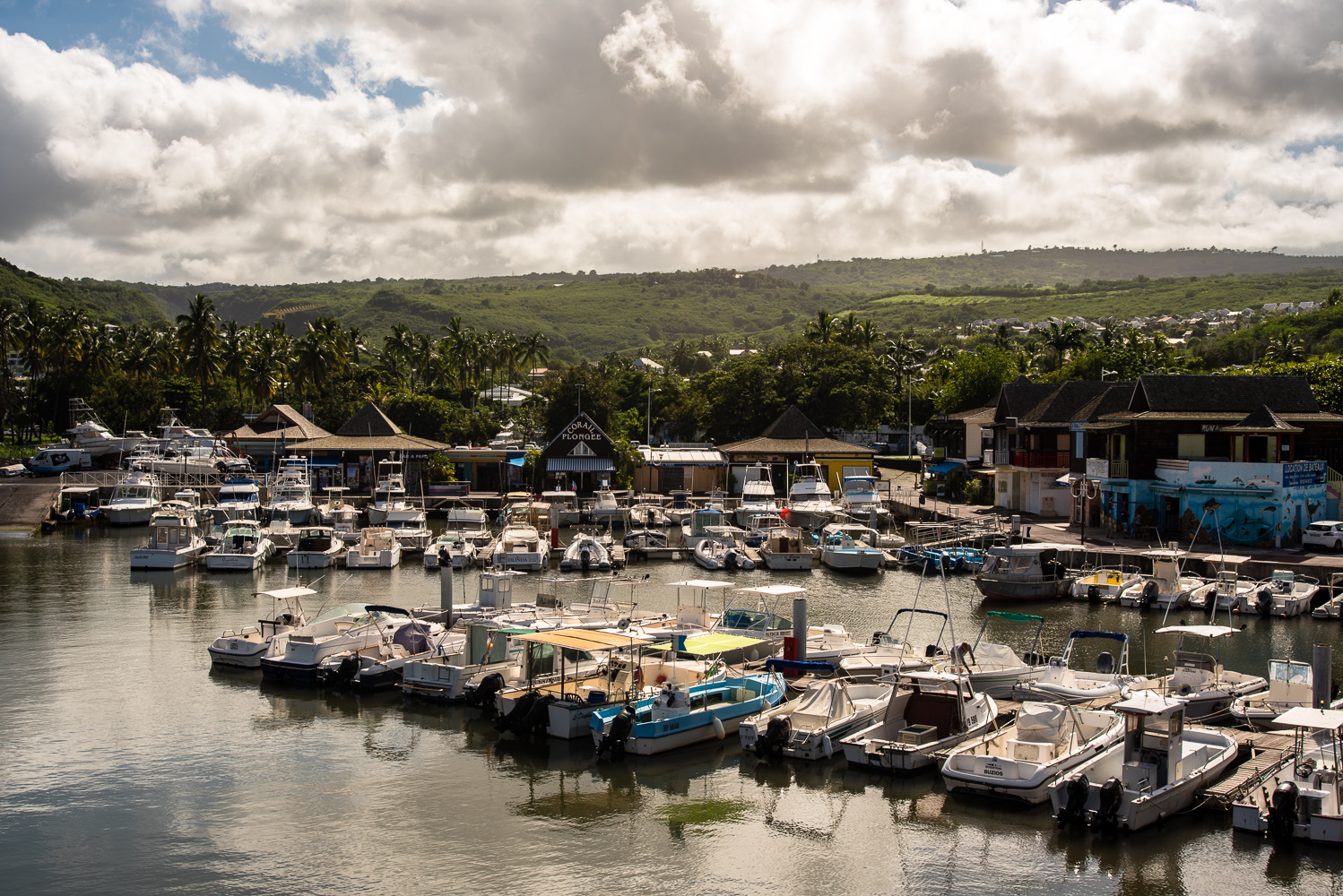
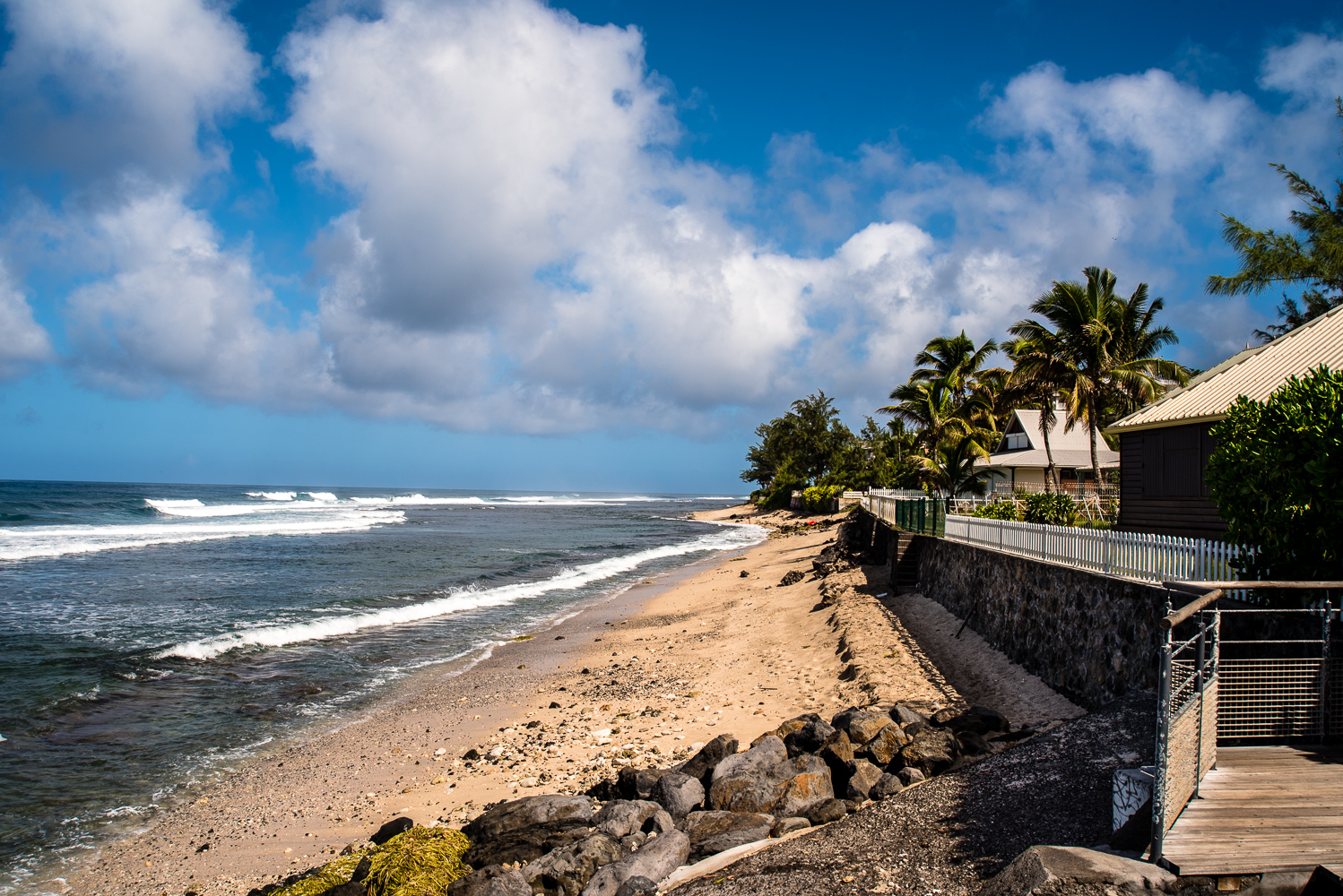
We did manage to spend some time in one of the towns by the beach in Reunion, which reminded us of St. Martin. No surprise there, it is a region of France and has a population of 850,000. It is the most prosperous area in the region, measured by per capita GDP. The shops and architecture reveal French influence on the island.
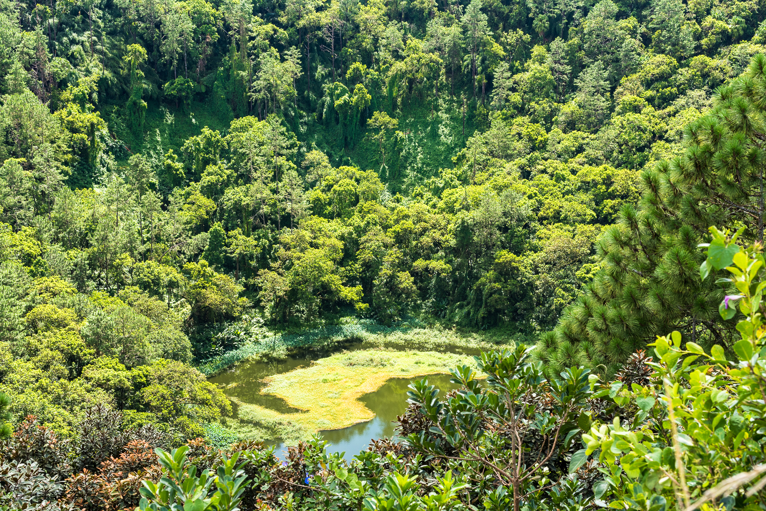
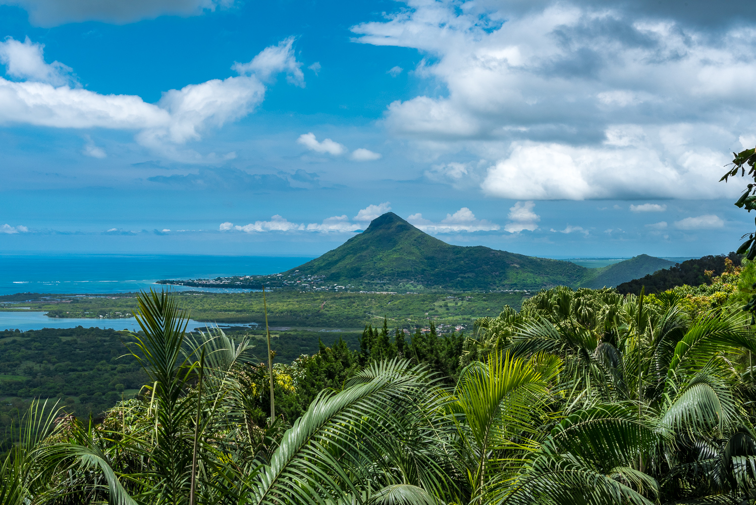
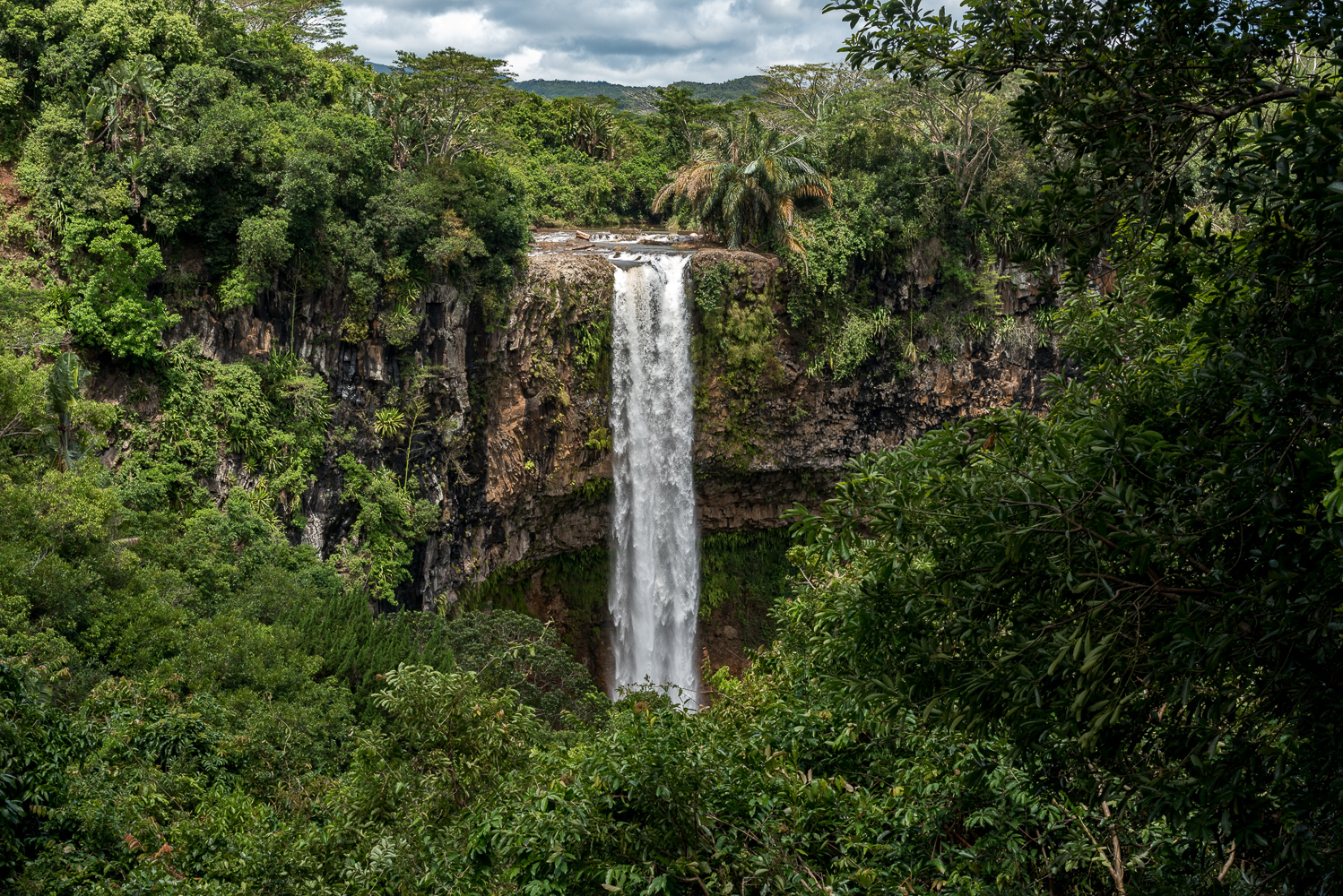
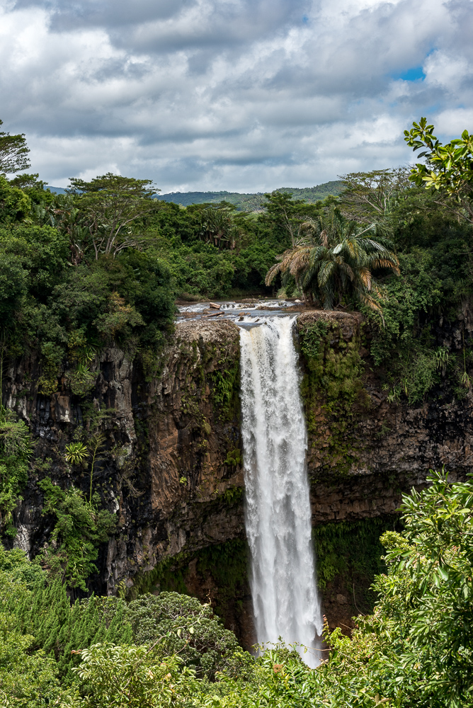
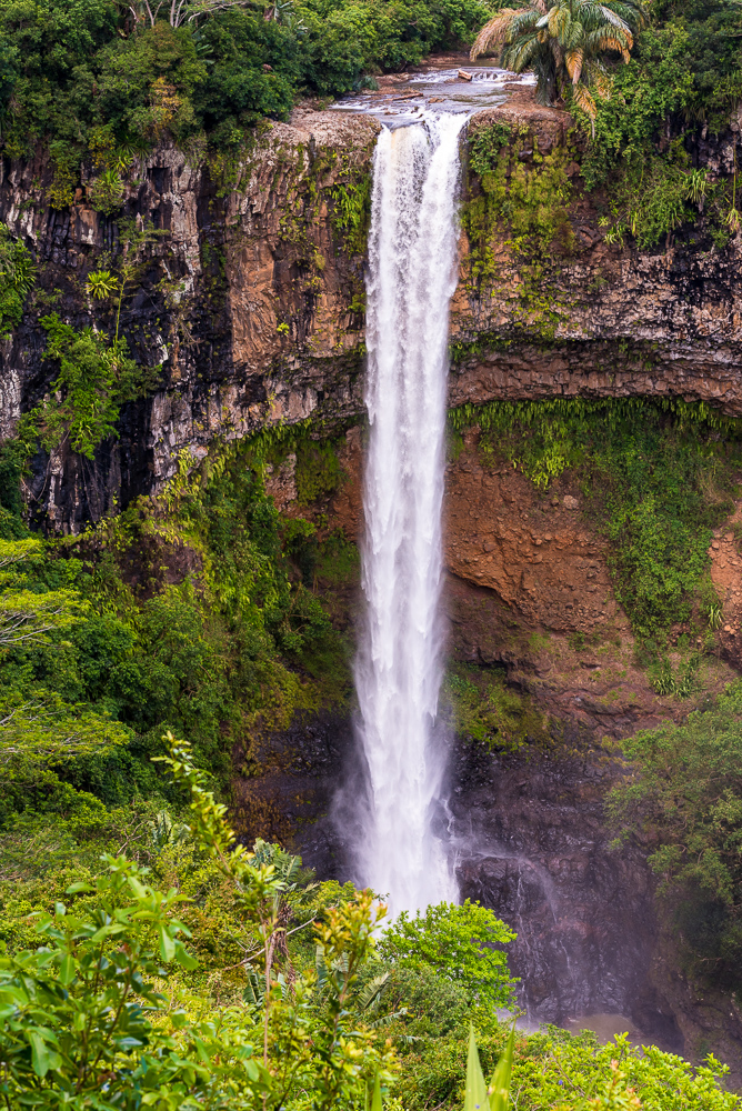
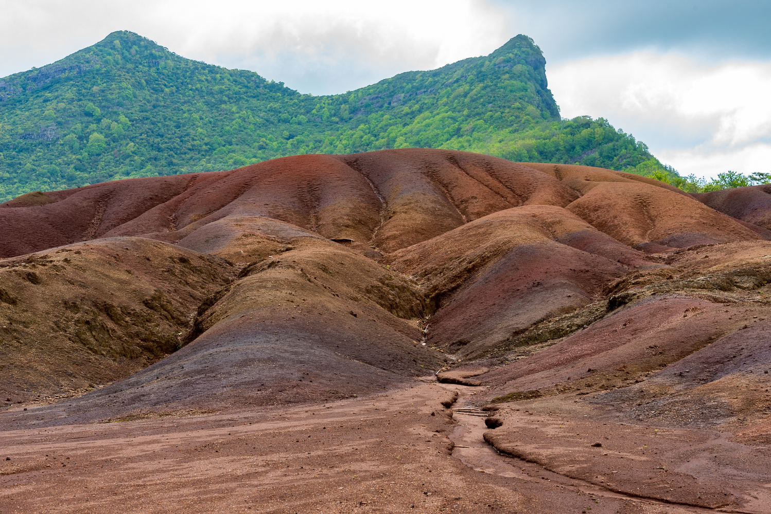
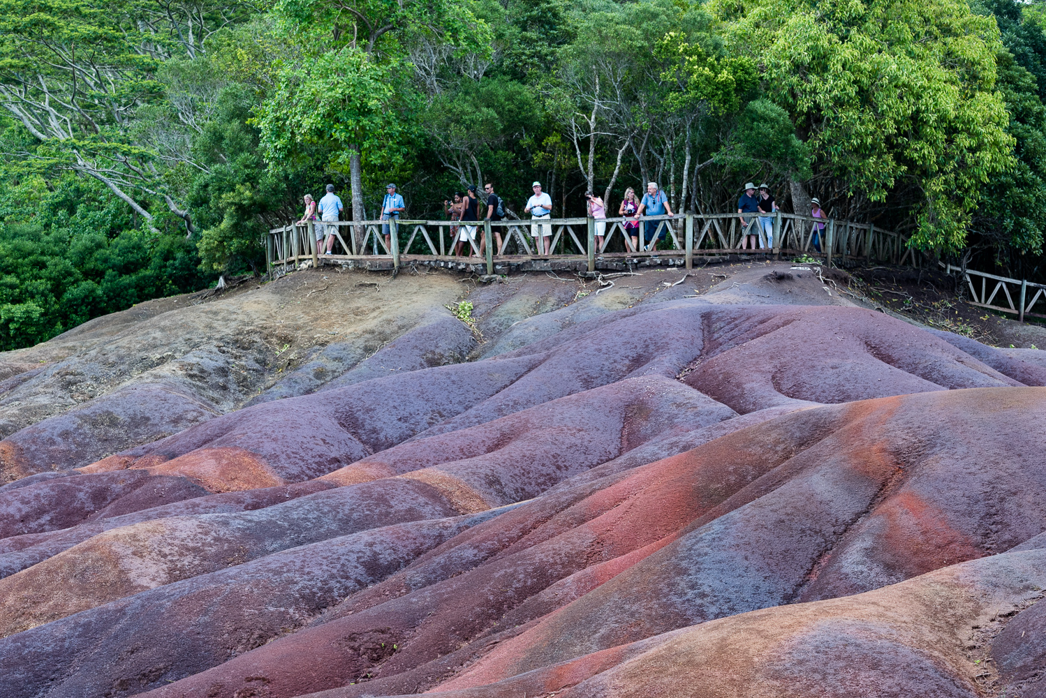
Mauritius and Reunion share some of the same physical characteristics, which is not too surprising since they are only about 100 miles apart. The countryside of Mauritius is covered with lush foliage, undoubtedly due all the rainfall they get. In this respect both Mauritius and Reunion bear a resemblance to Maui, Hawaii. On Mauritius there is a long dormant volcano, reported to be 500 years old, and there are a number of waterfalls. One, Chamarel Falls, is 272 feet long. There is also place called the Seven Colored Earths, so named because the layers of sand that make up the grounds are colored differently.
We were fortunate enough to attend a Crystal hosted dinner party with other world cruise passengers. After a tour of a museum at Domain La Bourdonnais Estate, we had cocktails, then dinner at Table du Chateau restaurant, followed by a fireworks display. Then back to the ship. Some footage of the event, as well as photos from Mauritius and Reunion are included in this post.
On the 23rd we set sail for Broome, Australia—a journey that will take 8 days at sea. That will be a good test of our sea legs. So far so good.
To see the photos below in larger sizes and in a Lightbox, please just click on any of the photos.
Bob Dylan immortalized the place in his song “Mozambique” in 1976.
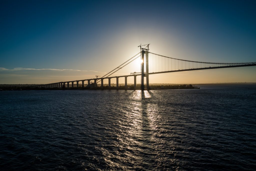
Well, times change. We spent a short time in the Mozambique city of Maputo, but there is not much to see. Mozambique does have beautiful beaches, but they are about 3 hours away from Maputo. A colony of Portugal, Mozambique gained its independence and established a Marxist government in the mid 1970s. Needless to say, Mozambique is now one of the poorest countries in the world, and it is struggling to get on its feet.
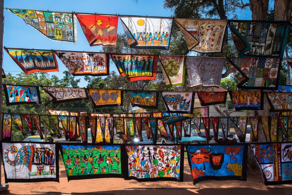
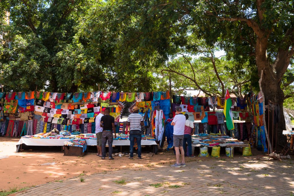
In the short time we were there we visited an outdoor market (Feima) where crafts, flowers and food are for sale, but other than there, we didn’t really get a chance to look around very much.
Now we are at sea, sailing toward Reunion and Mauritius where we are scheduled to visit on January 20th and 21st. That is, if the Captain manages to outrun the Typhoon in the area and there is not too much damage when the Typhoon hits land. Never a dull moment.
When you head out to the bush country you just don’t know what you are going to find. For the second (of three) Safari days out in the bush, the plan was to find some elephants in the morning, and maybe more lions in the afternoon. That meant getting a wake-up call at 4:30 AM and piling into the jeep and into the woods by 5:00 AM.
As it turned out, we didn’t find any elephants until later in the afternoon. But we did find a male lion. We also found a cheetah hanging out by a watering hole. Watering holes are a popular spot to hang out in the bush, except for the fact that some of the animals regard the others as dinner. So, the animals likely to be targets tend to go as a group—safety in numbers—while the lions hang out around the periphery waiting for one of the targets to stray from the group. Then the lions pick them off.
Another thing. Looking at the stars from the pitch black African bush takes your breath away. Without any distracting ambient light, you can probably see the stars the way the sailors saw them hundreds of years ago.
Anyway, here (below) are some more photos of animals and the countryside out in the bush. Next, we head for a short stop in Maputo, Mozambique. There are more photos available at Evocative Photos.