
Ports – commercial and passenger
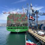
We have just been in the port in Santos, Brazil, and it reminds me that the ports we encounter are interesting in different ways. Some ports are designed and used exclusively for passengers on cruise ships. The newest have ramps that connect to the cruise ships like jetways connect to planes, and the […]
Read More »