
We have left New Zealand and we have arrived in the South Pacific where we will spend the next week or so sailing through Micronesia, Polynesia and Melanesia. These island countries include Fiji, Tonga, Tahiti and Niue. These grouping are oddly categorized. For example, Micronesia refers to small islands and Polynesia refers to many islands. So far so good. On the other hand, Melanesia means “black islands” so named because of the dark skin color of the natives. But skin color hardly differentiates Melanesia from Polynesia. Go figure.
Anyway, the Polynesians were expert sailors who used “wayfinders” as navigators. Wayfinders did not use western instruments like compasses. They navigated using natural signs—for instance, the positions of the moon, the sun and the stars. They also used birds. If a bird they knew only flew 10 miles from land and they saw one when they were at sea, the would reasonably assume they were no more than 10 miles from land. Using these methods, the Polynesians would eventually go on voyages that extended for 1,000 miles for as long as 1 month, and, it is theorized, some eventually made their way as far as South America.
Eventually we plan to make our way to Easter Island, about 1,000 miles off the coast of Chile where we will be greeted by a professor who is an expert on the place. We’ll report in when that happens. In the meantime, here are some photos from some early island visits.
JFB
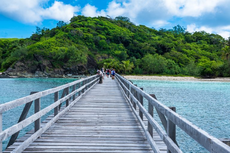
Welcome to Fiji
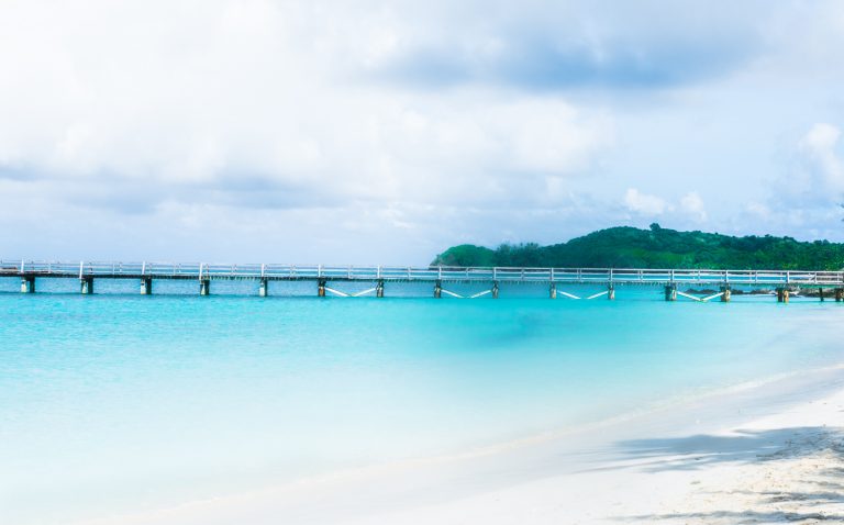
Minimalist photo of a Bridge
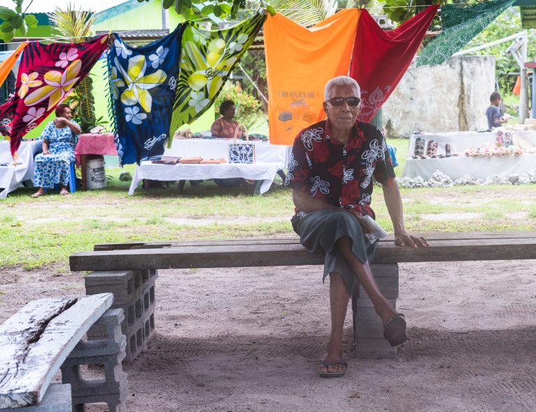
Man Resting on a Bench (photo by permission).
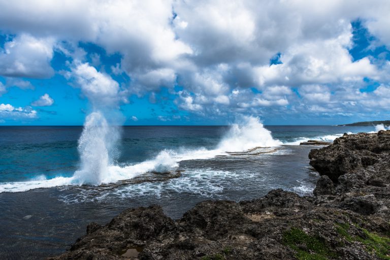
Water Shoots through Blowholes in Tonga.
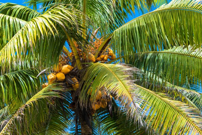
A Coconut Tree in Niue
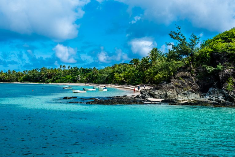
A Beach in Yasawa-I-Rara