Located on the island of Tutuila, Pago Pago is the capital city of American Samoa. Officially known as Territory of American Samoa, it is an unincorporated territory of the United States. And as we just recently discovered, Pago Pago is not pronounced Pay-Go Pay-Go. Rather, it is pronounced Pango Pango, so that it rhymes with Tango Tango.
It is located in the south central pacific, about 1,600 miles northeast of New Zealand and 2,200 miles southwest of Hawaii. The climate is tropical. Temperatures range from 60 to 90 degrees, and the island of Tutuila gets a lot of rain—about 200 inches annually. Consequently lush vegetation dominates the island.
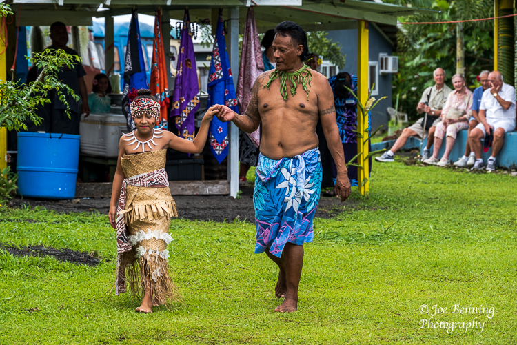
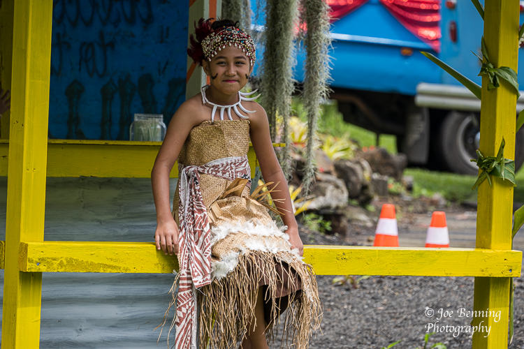
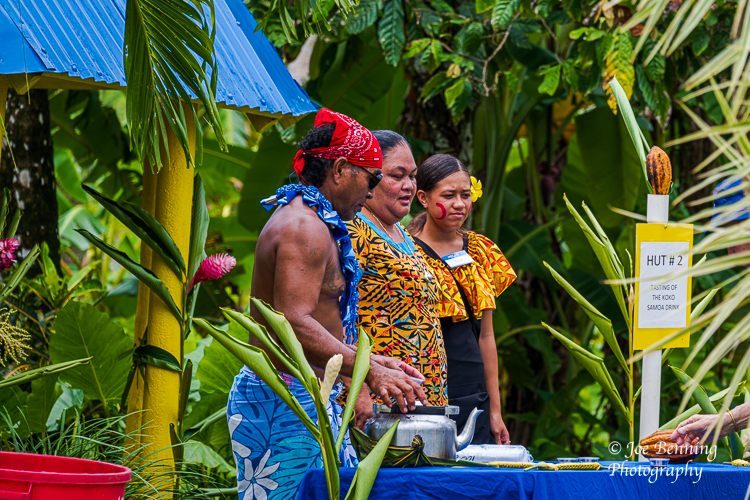
We took a tour that included a look around the Western side of the island and a visit to a village called Talofa where we were treated to a demonstration of local customs including food, cooking styles and native folk dances. It was all very interesting, but no, we didn’t try the food. Some photos from the visit are included below.
JFB
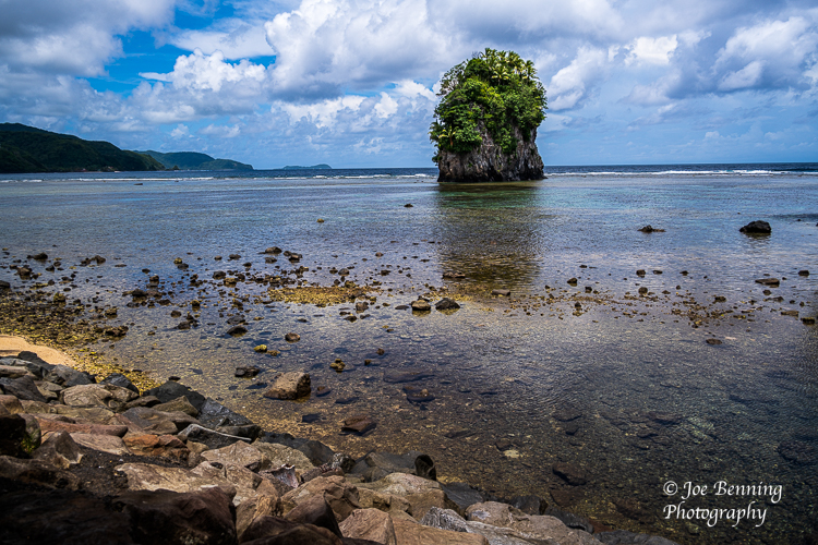
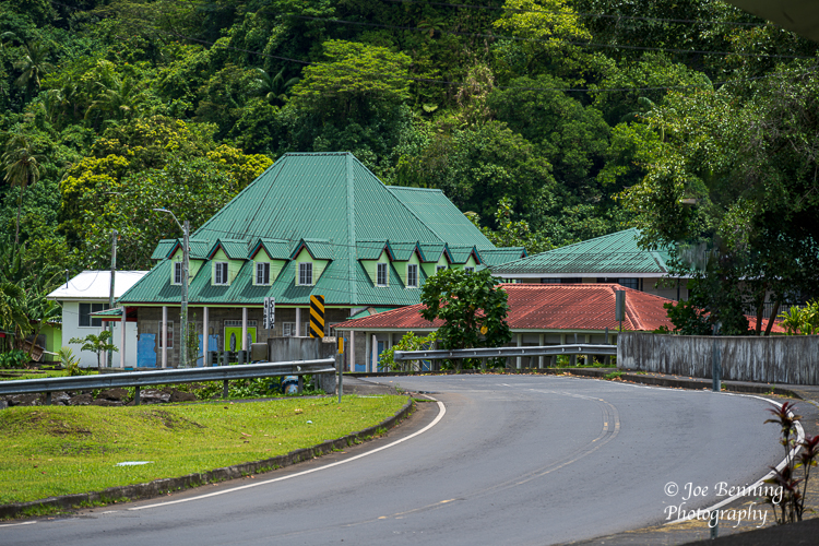
American Samoa — February 7, 2023. Photo of a young Samoan princess being escorted tto center stage as tourists look on in the background.Americsan Samoa–Feb 2, 2023. A portrait photo of a young American Samoan girl in native dress.American Samoa–Feb 7. 2023. A zoom lens photo of 3 natives of Pago Pago at a tasting hut for locally prepared foods.Wide angle photo of a rock formation (called a flower pot by the locals) off the cost of Pago Pago.Photo of a house built by a winding road on the side of a mountain
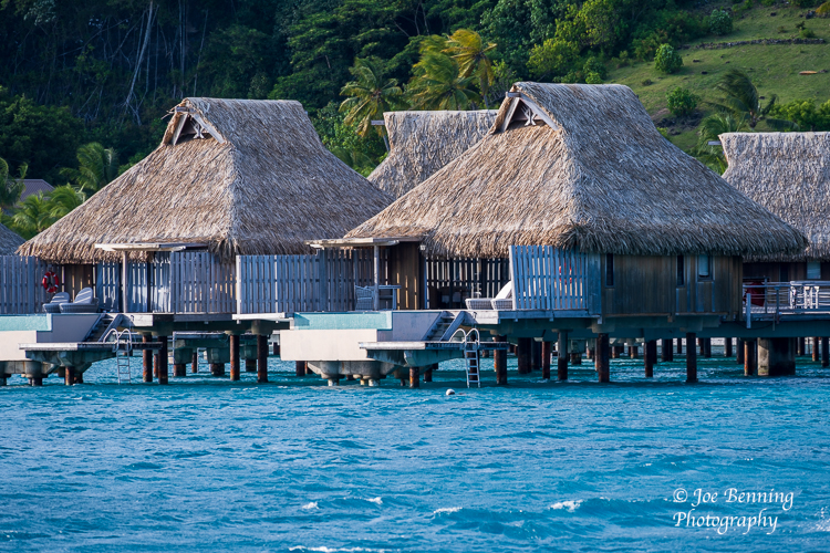
We arrived at Bora Bora on Friday February 3rd for a 2 day port-of-call. It is an island of legend, known for the lagoon that circles the island with its beautiful turquoise waters teeming with undersea life makes the waters especially good for snorkeling. And there are the famous thatched roof huts built over those waters. These days many are owned by upscale hotel chains.
Captain James T Cook was the first European to discover the island in 1769. The British were not particularly interested in Bora Bora, so the French colonized it. Bora Bora became a key island in the eventual struggle for independence from France. It became a French protectorate in 1888, about 40 years after the French annexed Tahiti. Now it is mostly a tourist destination. Although the tourist trade was particularly hard hit by the pandemic, it seems to have recovered nicely.
Some photos of our recent visit are below.
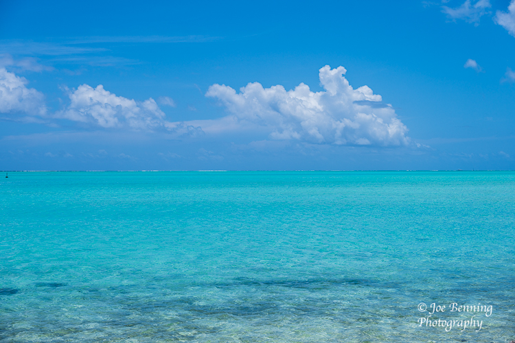
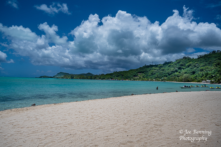
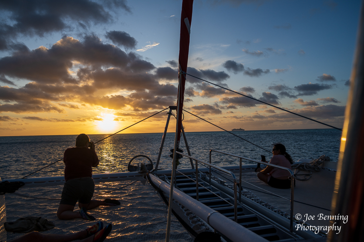
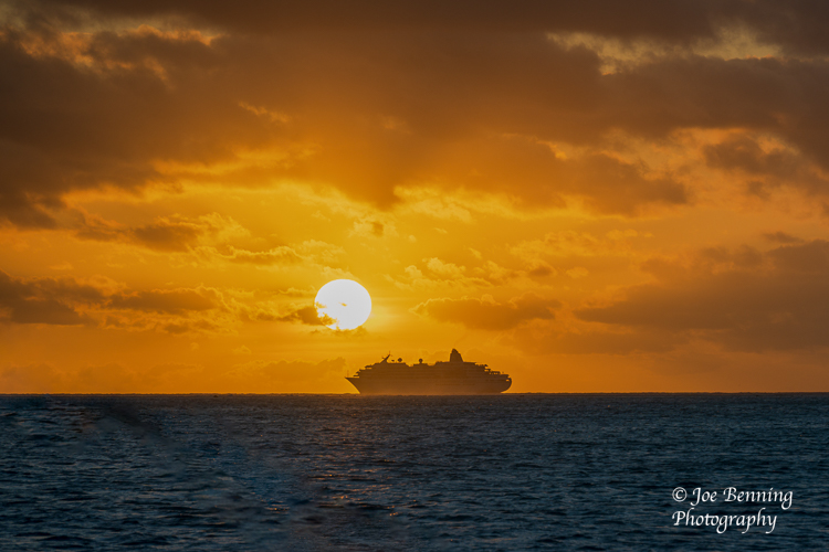
Turquoise Waters of the LagoonPhoto of iconic Bora Bora huts built on wooden posts over the waters of a lagoon.Photo of a landing pier where tender ships dock at Bora BoraA wide angle photo of a public beach in Bora Bora French PolynesiaA photo of the silhouette of a tourist taking a photo of a Bora Bora sunset from a CatamarinSunset Sail on Bora Bora
On January 30, we sailed into Fakarava, one of the French Polynesian islands. On the 31st we docked at Rangiroa, on Feb 1, we arrived at Raiatea, also part of French Polynesia. On Feb 2 we sailed into Papeete, the capital of French Polynesia on the island of Tahiti.
I should make clear that the term French Polynesia refers to a geographic area, not political boundaries. The geographic area known French Polynesia is enormous; it is larger than Europe. Essentially it is a triangle in the Pacific extending from Easter Island (part of Chile) in the East to Hawaii (US) in the North and New Zealand in the South.
The islands of Fakarava, Rangiroa and Raiatea are parts of the Tahitian archipelago, whose capital is Papeeta. Tahiti is a mixture of French and Tahitian culture. The official languages of Tahiti are French and Tahitian. The French, as colonial powers are wont to do, spent several decades trying to get rid of the native Tahitian language. The Tahitian peoples resisted, the French finally gave up and now the country has two official languages: the native Tahitian language and French. There is a distinctive French flavor to the culture of the islands. Most everybody speaks English in addition to French and Tahitian.
Most of the islands have their own elementary schools. Most of the islands lack a public high school. So for high school, parents send their children to public boarding schools on the island of Tahiti, where most of the high schools are. When it comes time for the students who will attend university, often it’s off to New Zealand or the United States.
The islands themselves are physically beautiful. The Tahitian people are very friendly and welcoming. They are also keenly aware that the tourist trade is a big part of the Polynesian economy. Pearl farming—meaning growing and harvesting pearls—is a major industry in the islands along with agriculture.
Next we set sail for Bora Bora, also part of French Polynesia. Meanwhile some pictures are below from tours we took on Tahiti, Fakarava, Rangiroa and Raiatea.
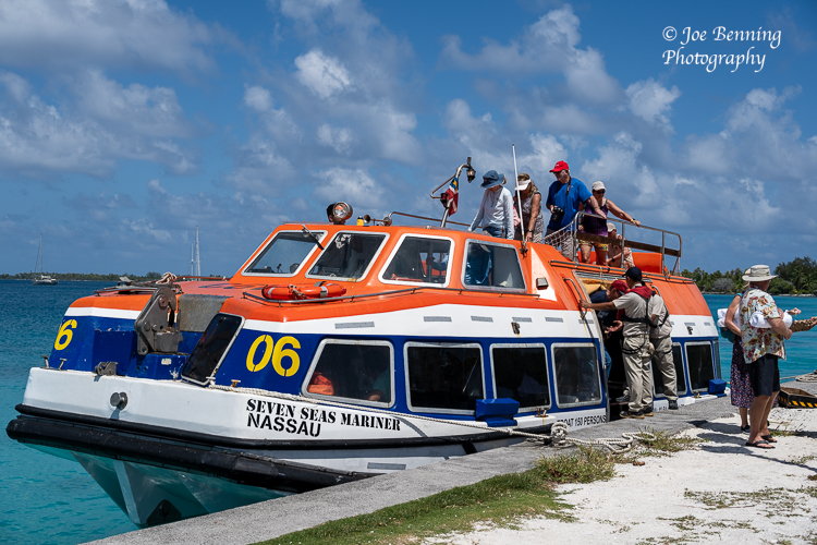
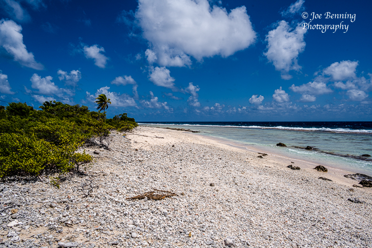
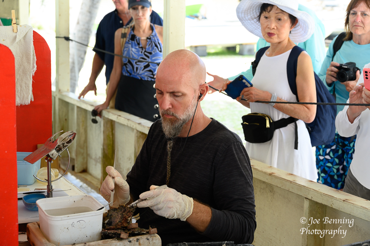
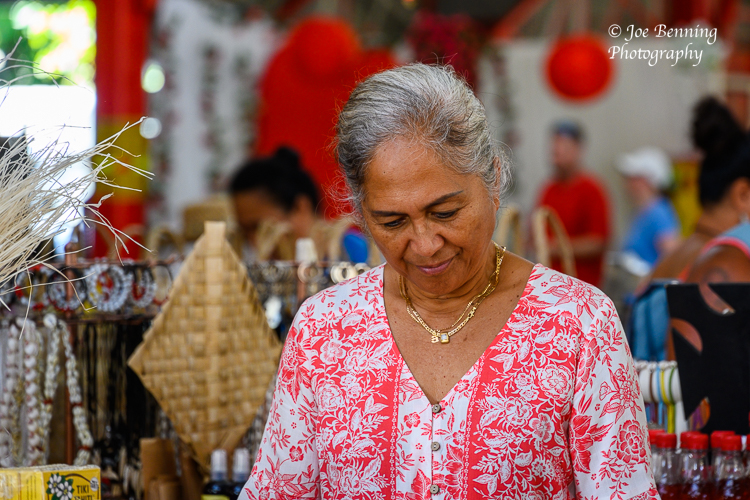
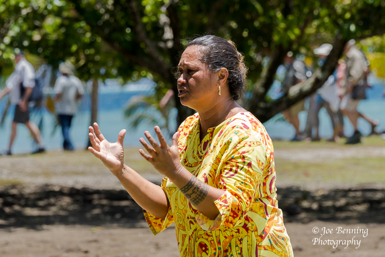
Fakarava, French Polynesia–January 30, 2023. Photo of a Seven Seas Mariner tender boat with tourists at a pier in Fakarova French West Indies.A wide angle photo of a rocky beach in Fakarava, French Polynesia.Raiatea, Tahiti — Jan 31. 2023. An artisan at the Gauguin Pearl Farm works at his craft as tourists look on.Papeete, Tahiti — Feb 2, 2023. A female merchant exaines goods for sale at her stand in the Chinese Market in Tahiti.Papeete, Tahiti — Feb 2, 2023. A tour guide addresses tourist group and explains some elements of Tahitian culture.
Commonly known as Easter Island, it was so named because the European sailors who discovered the island arrived on the scene on Easter Sunday. Recently it has become customary to refer to the island as Rapa Nui and the native peoples as the Rapanui people. The name roughly translates as “Big Rapa” which references the Island of Rapa, a large island in French Polynesia. The first recorded use of the name was in the 1860s. Apparently the name has been used to differentiate it from the Island of Rapa.
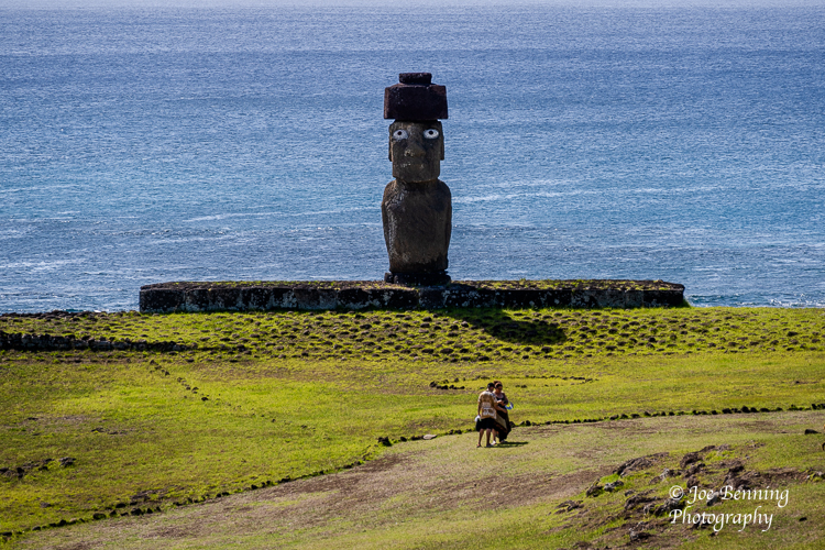
The island is best known for the Moai Statues that dot the island. Another notable part of the history of the island is that it was probably settled sometime between 600 and 900 AD by explorers from another Polynesian island. And then after settling the island the society that the settlers built abruptly collapsed in the 1700s.
We visited Rapa Nui for the second time on the 25th of January. It took several sea days to get there, and will take another 4 sea days to get to our next destination in French Polynesia, Fakarova. The reason for the long trek is that Rapa Nui is in the middle of the Pacific Ocean, thousands of miles away from any where else. For instance, Rapa Nui is several thousand miles away from Chile which annexed it in 1883. Although Chile granted full citizenship to Rapanuis in the 1960s, there is still quite a bit of anti-Chilean sentiment on the island.
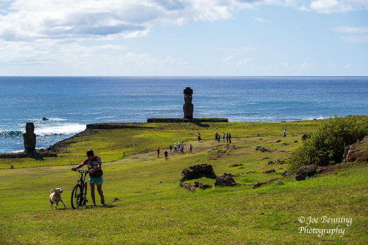
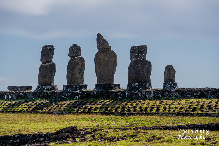
The Moai (pronounced Mō Eye) statues that dominate the island’s archeology have to be seen to be believed. They extend up to 80 feet tall, and some weigh more than 40 tons. They were carved out of stone in a rock quarry on the other side of the island and then transported to the coasts of the island where they were stood up facing inward. That leads to 2 rather obvious questions.
First—why do the statues face inward? Second—how on earth did they manage to move these enormous statues all the way from the quarry to the coast?
It turns out that the statues face inward as if looking over the population because that is what the statues were set up to do. The native people of the island believed that the statues possessed a quality they called “Mana”. They believed that “Mana” was a type of spiritual quality which their ancestors could pass on when they died; in a sense it was passed from the ancestors to the statues which would then look over and protect them.
The second question—how did the native population move these heavy statues over long distances in the 1400s to 1600s, absent modern tools like Caterpillar tractors? Many archeologists have worked on the problem and have come up with various solutions that include rolling the statues to the coast using trees tied together and used as wheels. There is virtual unanimity that notwithstanding all the books and TV specials produced by a congeries of cranks and con men, intervention by space aliens is not a reasonable explanation.
Easter Island (Rapa Nui) is a fascinating place that poses many other interesting questions, one being why did the civilization rapidly begin to disappear during the 1700s. We were lucky enough to hear several lectures about these and other questions by an expert named James Grant-Peterkin, who is British Honorary Consul. He has produced a very good short guide book that delves into the story of Rapa Nui titled “A Companion to Easter Island” that is well worth reading. Needless to say, it is available on Amazon.
It would take too much time (and bandwidth) to go on more about Easter Island. But…if you get a chance to visit, certainly consider it. (Here is a blog post link from our 2018 visit). In the meantime several photos from our most recent visit are included below.
Meanwhile, Iorana (Polynesian for Hello or Goodbye).
Joe
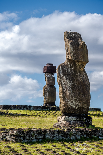
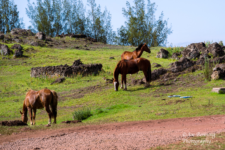
A vertical photo of 2 Moai statues on Easter Island.Easter Island, Chile — January 25, 2023. A telephoto long distance shot of tourists on a walking path by a Moai statue. The tourists give a sense of scale to the Moai.Easter Island, Chile — January 25, 2023. A photo of a man, his dog and bicycle and tourists by Moai statues and the sea.Photo of a row of Moai statues on Easter IslandA photo of wild horses that live freely on Easter Island
The west coast of South America, where part of Ecuador is located, is an extraordinarily fertile area for commercial fishing. Manta, located on Ecuador’s central coast, is the largest fishing port in Ecuador. Also known as San Pablo de Manta, the city is the largest and most populated city in Manabi Province.
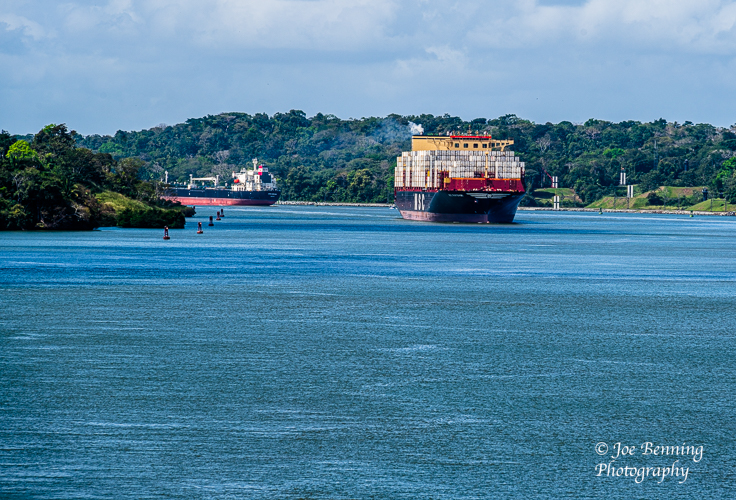
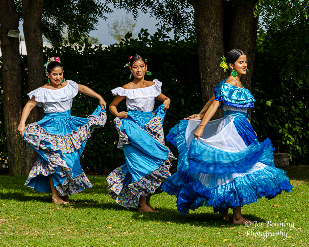
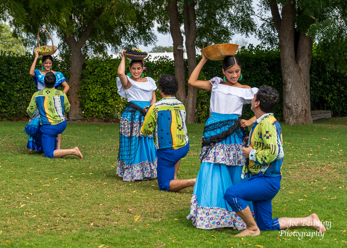
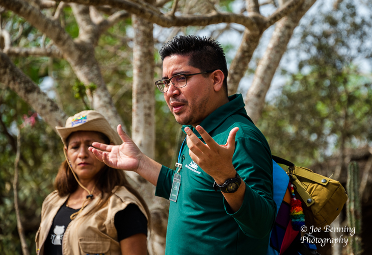
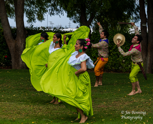
We stopped in Manta for a couple of days after traversing the Panama Canal. While there we got a look at an archeological dig (not really worth it) and we also got to see some native dancers perform folk dances at a local country club. The dancers were very energetic and accomplished.
A couple of shots from our travels across the Panama Canal and time in Manta are posted below.
In the Panama CanalManta, Ecuador–January 16, 2023. Photo of Ecuadorian dancersManta, Ecuador–January 16, 2023. Photo of Ecuadorian folk dancers performing.Our guide to an archeological digManta, Ecuador–January 16, 2023. Photo of Ecuadorian dancers performing a folk dance about Pirates
As our itinerary changed due to civil unrest in Peru (and the cancellation of our planned visits there), we had the opportunity today to visit Guayaquil, Ecuador, a city we first saw in 2018.
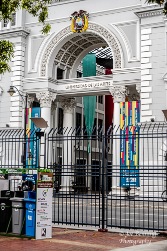
Guayaquil is a large port city, home to over 3 million people. It has a cosmopolitan flavor, with influences from around the world seen in its architecture, food, businesses, etc. Guayaquil is home to several universities, and Ecuador’s only University of Fine Arts. It is the major commercial, economic and industrial center of Ecuador.
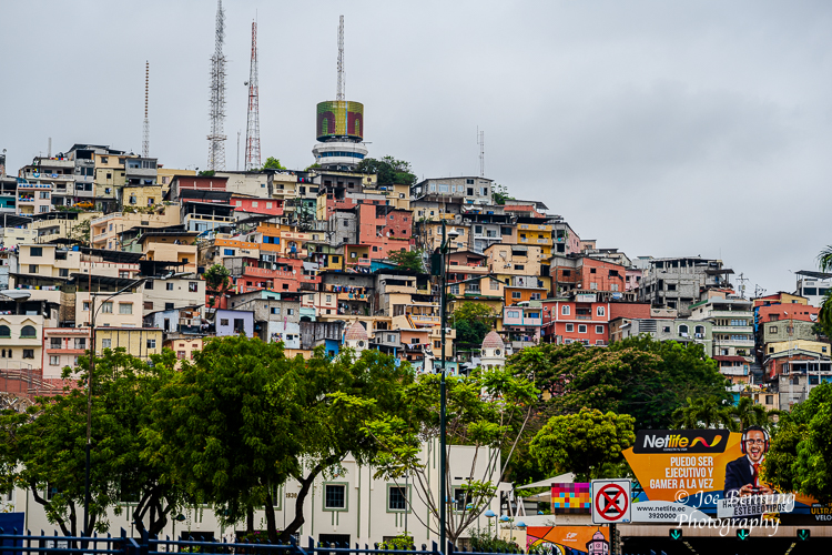
When we first saw Guayaquil several years ago, we visited on a quiet, sunny Sunday morning. We enjoyed the Malecón 2000 (the river walk along the Guayas River that was part of a big urban renovation project completed in 2000) and the beautiful Las Peñas area, home to old colorful houses, artisan workshops, and the Santa Ana Hill and Lighthouse.
We returned today to Malecón 2000 and Las Peñas, on a busy Tuesday morning, and were delighted to see how this area has grown in size while retaining its distinctive, charming character.
On our way to and from Las Peñas we had the chance to see much more of the city, including a large area where the Navy has its offices, residences, hospital, shipyard, etc., as well as the enormous port area where all of the services needed for cargo shipping and transport are located.
We leave Ecuador today, and will be on the seas for several days before we arrive at Easter Island, home of the Moai carved by the Rapa Nui people.
Mary Anne
(Some photos from Guayaquil are below–Joe).
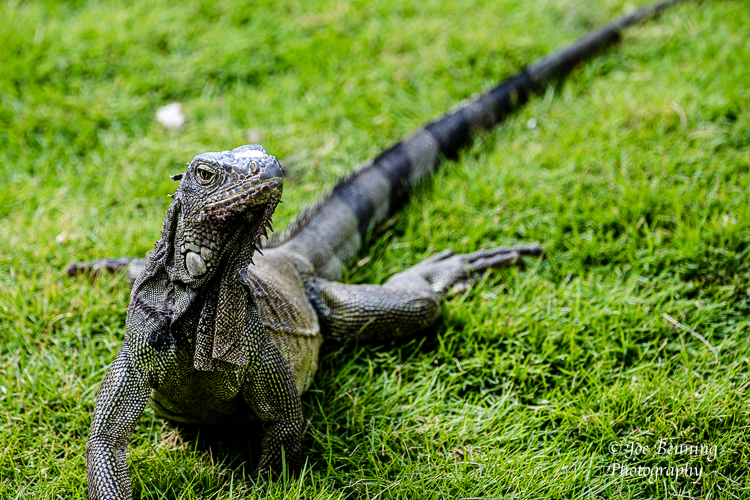
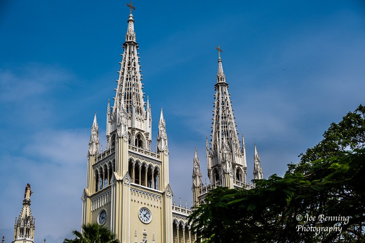
An Iguana in Iguana Park in Guayaquil slithers in the grass.A vertical photo of the entrance to Guayaquil’s University of the ArtsPhoto of a hill in the Las Penas section of GuayaquilChurch Spires in Guayaquil
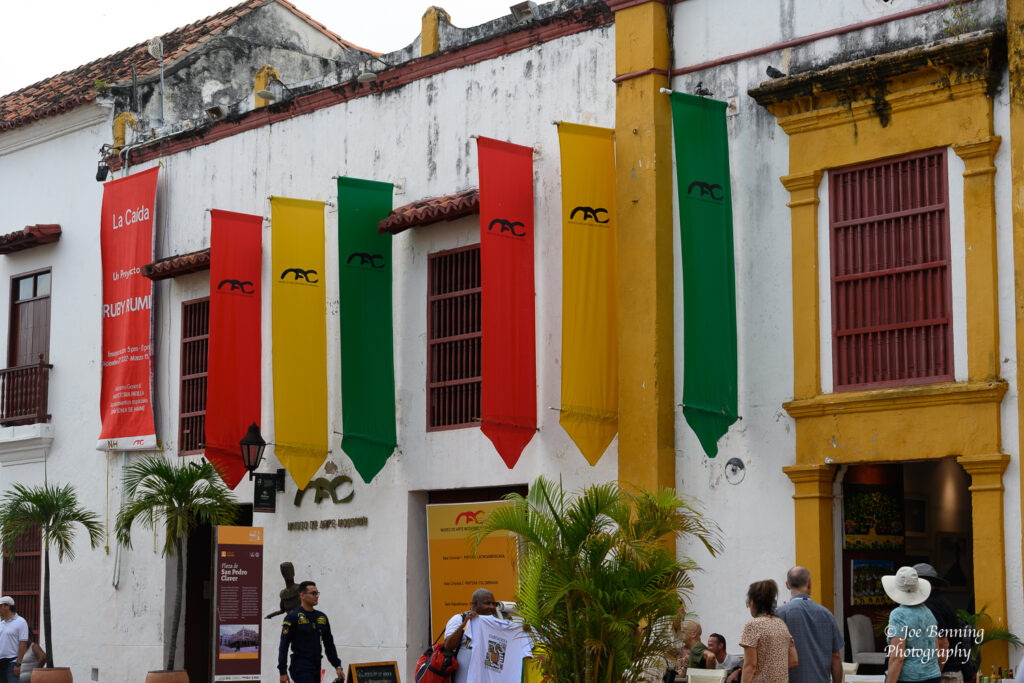
The joke the locals tell in Cartagena, Columbia is that the city has two types of weather: Hot and Hotter. It was certainly hot (and humid) on January 12 when we docked there. Then again, it beats 4 degrees in New Jersey.
Originally known as Cartagena de Indias, Cartagena was an important Spanish colony that was a key port for the export of Bolivian silver to Spain. Sitting on the northern coast of Columbia and facing the Caribbean Sea, it was also very defensible against pirates. It is now the 5th largest city in Columbia with a population of about 2 million people.
The city is now a major tourist destination and it is easy top see why. The city is bustling and colorful, and loaded with museums and restaurants.
One other note: Our stops scheduled for Peru have been cancelled due to the political unrest in the country. So, we will spend some additional time in Ecuador, after going through the Panama canal.
Some photos from Cartagena are below. We will be posting fairly regularly, so stay tuned.
JFB
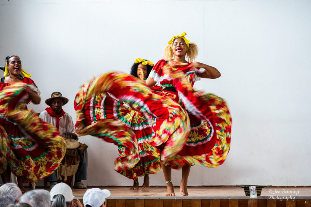
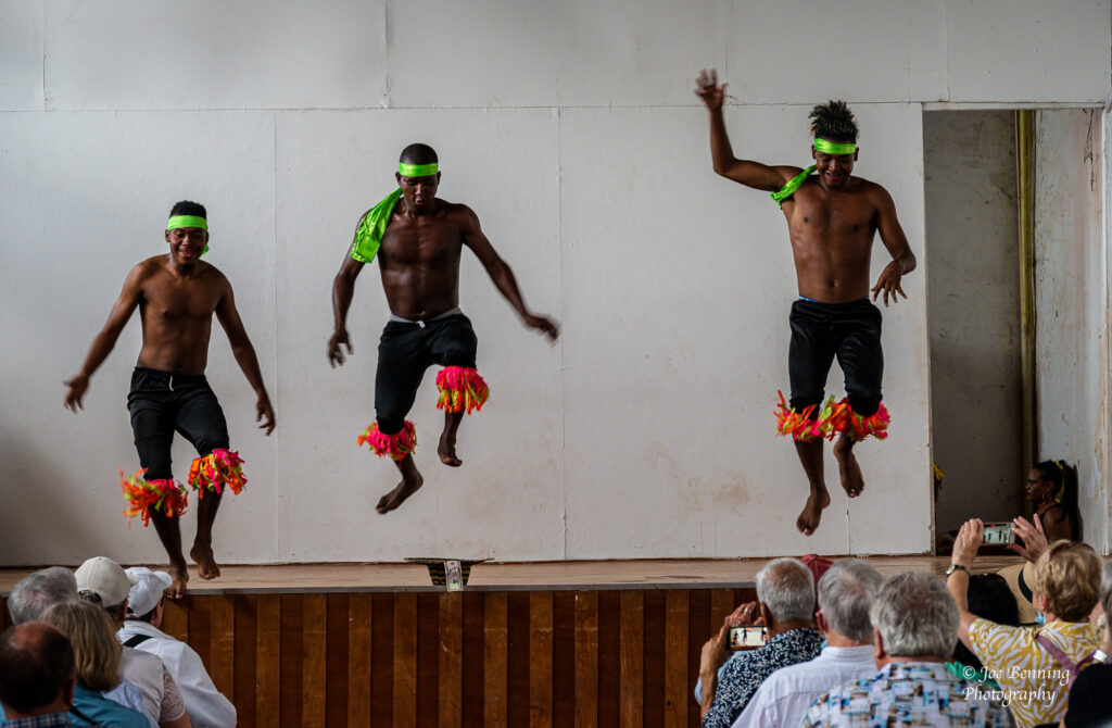
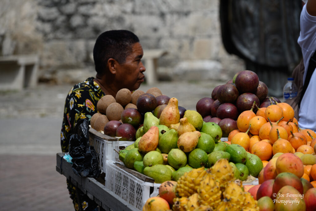
Cartagena, Columbia — January 12, 2023. Photo of dancers in traditional dress performingd in Cartagena, Columbia.Cartagena, Columbia — January 12, 2023. Photo of 3 dancers leaping on stage in Cartagena, Columbia.Cartagena, Columbia — January 12, 2023. Photo of a fruit vendor and his cart on the street in Cartagena, Columbia.Cartagena, Columbia — January 12, 2023. Photo of colorful buildings in Cartagena, Columbia.
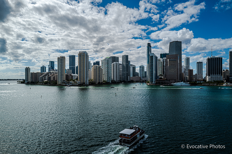
We are finally on our way. We set sail from Miami on Sunday afternoon and we are scheduled to dock in Cartagena, Columbia on Wednesday morning. This far everything is first rate—the service, the accommodations, the food and entertainment—not to mention the 7 bars around the ship.
We do have very slow internet (along with a lot of other people). That’s something we are working on now. Anyway—because so many people have asked—there are about 450 people signed up for the full 5 months of the World Cruise. You read that right. About 450 people.
We’ll check in after we reach Cartagena. Until then, Ciao.
Photo of Miami Skyline from the deck of the Mariner 7.
Well, it’s 2023 already, and it’s going to be a big year—a very big year—for travel photography. Mary Anne and I will be leaving shortly to go on a long cruise that will take us to Australia, India, Africa, Japan and Indonesia to name a few of the places we will be visiting.
We plan to post plenty of photos and text describing our journey. So keep tuned to this page.
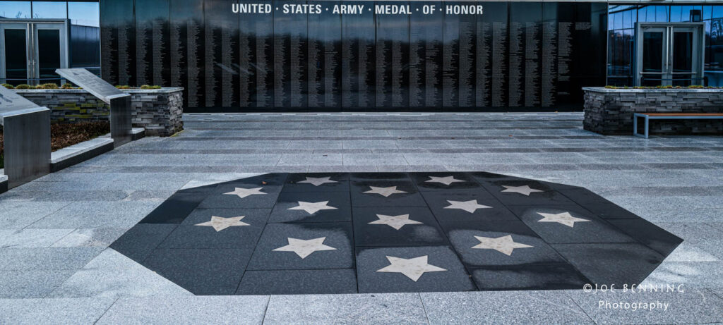
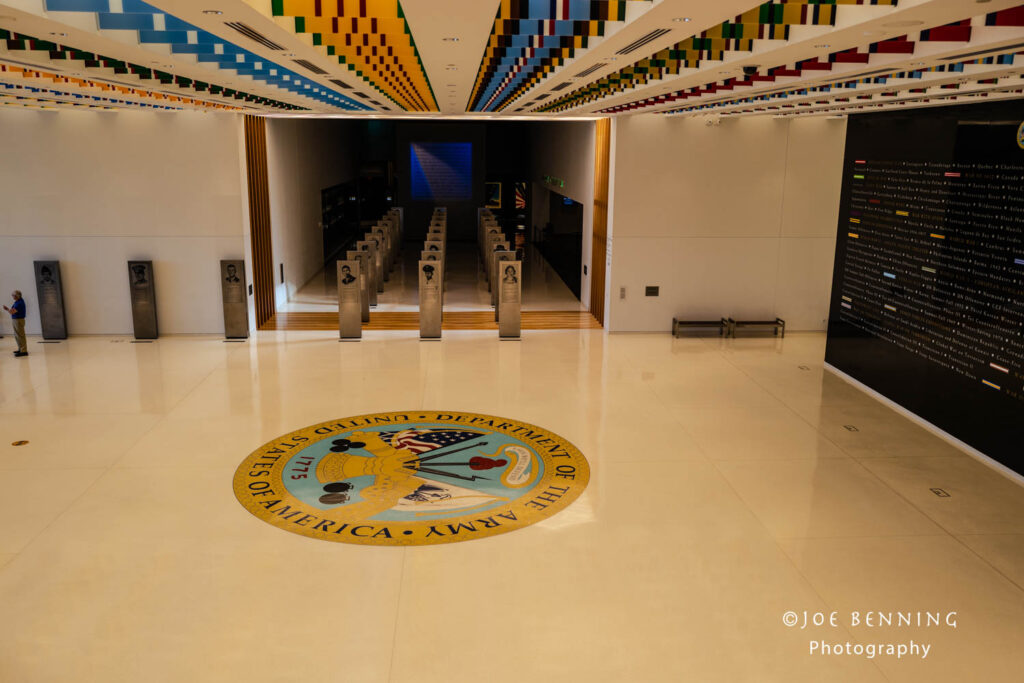
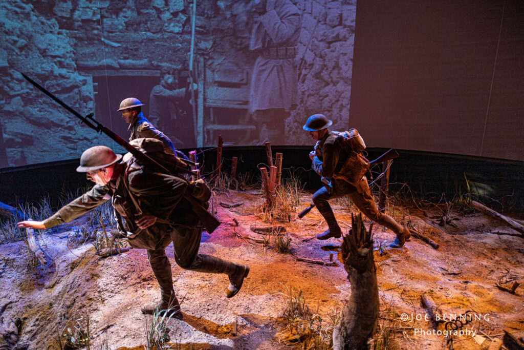
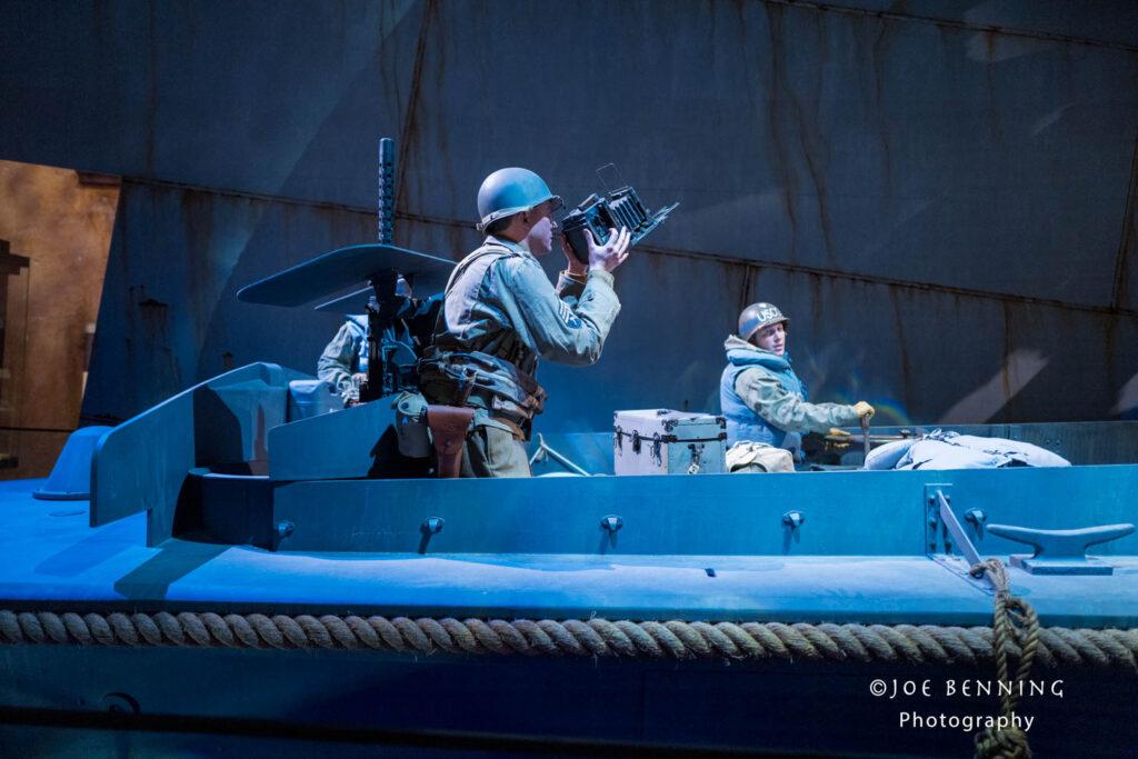
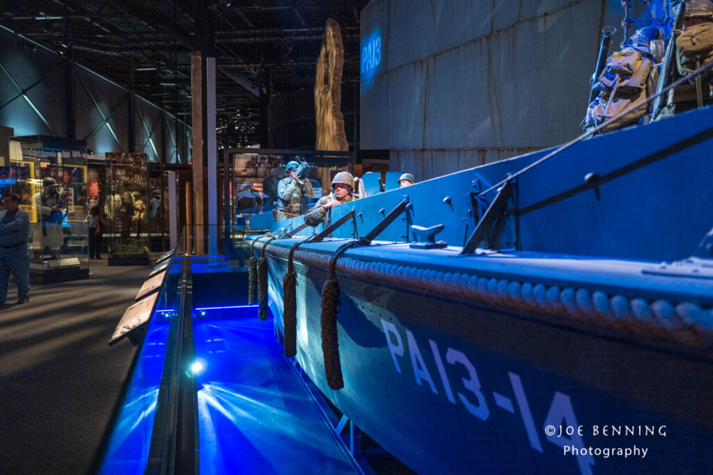
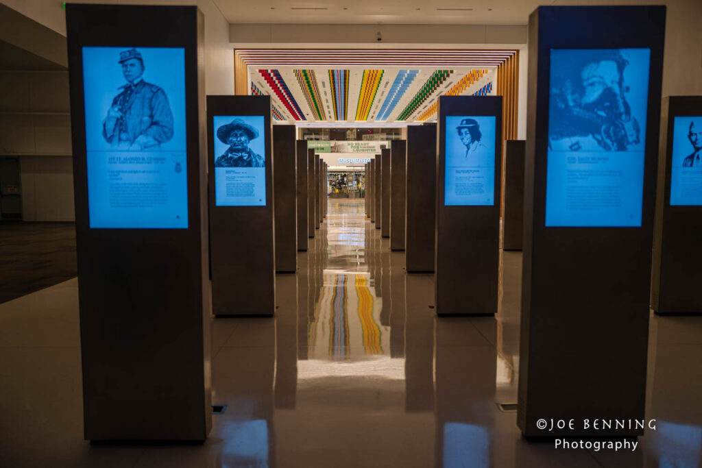
In the meantime we visited the Army Museum in Virginia. It’s fairly new and has very interesting exhibits that trace the history of the US Army from the beginning of the republic. If you find yourself in Virginia, it’s well worth a visit.
Some photos from the museum.
Wide angle photo of a wall at the Army Museum that commemorates Medal of Honor winnersA wide angle ohoto looking down onto the lobby of the Army Museum in VirginiaPhoto of an exhibit commemorating WW1 US Army soldiersA photo of an exhibit commemorating WWII US Army soldiersReplica of a WWII Landing Craft in the Army MuseumWide angle photo of a first floor exhibit in the Army Museum in Northern Virginia